Directions to Keyme Locksmiths (South Westside) with public transportation
The following transit lines have routes that pass near Keyme Locksmiths
 Bus: 24.
How to get to Keyme Locksmiths by bus?
Click on the bus route to see step by step directions with maps, line arrival times and updated time schedules.
From Miami Dade College West Campus, North Westside
68 minFrom Lejeune And Calle Ocho, Miami
37 minFrom Consulate General of Brazil, Miami
50 minFrom Ramada by Wyndham Miami Springs Miami International Airport, Miami
71 minFrom Walmart Doral Offices, North Westside
74 minFrom Doral Academy Prep Middle /High School, North Westside
47 minFrom Palmetto High School, Kendall-Palmetto Bay
89 minFrom Magic City Casino, Miami
53 minFrom Versailles restaurant, Miami
52 minFrom Miami Palmetto Senior High School, Kendall-Palmetto Bay
89 min
Bus stop near Keyme Locksmiths in South Westside
- Sw 24 St @ Sw 97 Av, 3 min walk,VIEW
Bus lines to Keyme Locksmiths in South Westside
- 24, 24 - Fiu South Terminal,VIEW
What are the closest stations to Keyme Locksmiths?
The closest stations to Keyme Locksmiths are:
- Sw 24 St @ Sw 97 Av is 174 yards away, 3 min walk.
Which bus line stops near Keyme Locksmiths?
24 (24 - Brickell Staton)
What’s the nearest bus station to Keyme Locksmiths in South Westside?
The nearest bus station to Keyme Locksmiths in South Westside is Sw 24 St @ Sw 97 Av. It’s a 3 min walk away.
What time is the first bus to Keyme Locksmiths in South Westside?
The 24 is the first bus that goes to Keyme Locksmiths in South Westside. It stops nearby at 4:54 AM.
What time is the last bus to Keyme Locksmiths in South Westside?
The 24 is the last bus that goes to Keyme Locksmiths in South Westside. It stops nearby at 12:47 AM.
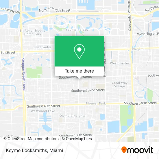
See Keyme Locksmiths, South Westside, on the map
Public Transit to Keyme Locksmiths in South Westside
Wondering how to get to Keyme Locksmiths in South Westside? Moovit helps you find the best way to get to Keyme Locksmiths with step-by-step directions from the nearest public transit station.
Moovit provides free maps and live directions to help you navigate through your city. View schedules, routes, timetables, and find out how long does it take to get to Keyme Locksmiths in real time.
Looking for the nearest stop or station to Keyme Locksmiths? Check out this list of stops closest to your destination: Sw 24 St @ Sw 97 Av.
Bus: 24.
Want to see if there’s another route that gets you there at an earlier time? Moovit helps you find alternative routes or times. Get directions from and directions to Keyme Locksmiths easily from the Moovit App or Website.
We make riding to Keyme Locksmiths easy, which is why over 1.5 million users, including users in South Westside, trust Moovit as the best app for public transit. You don’t need to download an individual bus app or train app, Moovit is your all-in-one transit app that helps you find the best bus time or train time available.
For information on prices of bus, costs and ride fares to Keyme Locksmiths, please check the Moovit app.
Use the app to navigate to popular places including to the airport, hospital, stadium, grocery store, mall, coffee shop, school, college, and university.
Keyme Locksmiths Address: 9686 SW 24th St Miami, FL 33165 street in South Westside
- Navarro,
- Rivera Tire,
- Helena Sir Med Spa,
- Galaxy Orthopedic,
- Keto Kitchen Miami,
- Oasis Club Day Care,
- Yordan Barber Shop,
- Team Pepe Transport,
- Professional Business Computers,
- Miami Jewish Health,
- Florida Pace Centers - Westchester,
- Galaway Locksmith,
- Delstar Medical Billing,
- Return To Wellness,
- Professional Insurance Group,
- Felitin Gold Inc 2,
- Treasure Chest Jewelers,
- Wedo Insurance and Taxes Coral Way,
- Business,
- B-Diva Style by Emily
Places Near Keyme Locksmiths (South Westside)
- Miami Freedom Park, Miami,
- Wynwood, Miami,
- Hard Rock Stadium, Miami Gardens,
- Sawgrass mall ( FL ), Miami Beach,
- Aventura Mall, Miami,
- Sawgrass Mall, Miami,
- Dolphin Mall, Miami,
- Miami VA Hospital, Miami,
- Zoo Miami, Miami,
- Aventura Mall, Miami Beach,
- Richard E. Gerstein Justice Building, Miami,
- Keiser University Flagship Campus, West Palm Beach,
- Port of Miami Cruise Terminal, Miami,
- Little Havana, Miami,
- Brickell City Centre, Miami,
- Bayside Marketplace, Miami,
- Marlins Park, Miami,
- Dolphin Mall Bus, Miami,
- Miami-Dade County Courthouse, Miami,
- Miami Design District, Miami
How to get to popular places in Miami with public transit
Get around South Westside by public transit!
Traveling around South Westside has never been so easy. See step by step directions as you travel to any attraction, street or major public transit station. View bus and train schedules, arrival times, service alerts and detailed routes on a map, so you know exactly how to get to anywhere in South Westside.
When traveling to any destination around South Westside use Moovit's Live Directions with Get Off Notifications to know exactly where and how far to walk, how long to wait for your line, and how many stops are left. Moovit will alert you when it's time to get off — no need to constantly re-check whether yours is the next stop.
Wondering how to use public transit in South Westside or how to pay for public transit in South Westside? Moovit public transit app can help you navigate your way with public transit easily, and at minimum cost. It includes public transit fees, ticket prices, and costs. Looking for a map of South Westside public transit lines? Moovit public transit app shows all public transit maps in South Westside with all Bus, Train, Light Rail and Ferry routes and stops on an interactive map.
Miami has 4 transit type(s), including: Bus, Train, Light Rail and Ferry, operated by several transit agencies, including Broward County Transit, Miami-Dade Transit, Metrorail, Palm Tran, Tri-Rail, Brightline, MARTY, City of Homestead Trolley, Key West Transit, Treasure Coast Connector, GoLine IRT, Amtrak, Greyhound-us, FlixBus-us and Aventura Express Shuttle Bus