How to get to Keyme Locksmiths by bus?
Click on the bus route to see step by step directions with maps, line arrival times and updated time schedules.
From Pop Pop Park Park Pl, Atlantic City
111 minFrom PNC Bank Arts Center, Holmdel
337 minFrom Rutgers, New Brunswick
338 minFrom Monster Truck Ice Cream Truck, Pacific Ave, Wildwood Crest, Nj
110 minFrom Freehold, NJ, Freehold
312 minFrom Toms River, NJ, Toms River
253 minFrom Amdur Ambulatory Care Center, Neptune
463 minFrom Robert Wood Johnson University Hospital, New Brunswick
337 min
Bus stops near Keyme Locksmiths in Millville
Bus lines to Keyme Locksmiths in Millville
What are the closest stations to Keyme Locksmiths?
The closest stations to Keyme Locksmiths are:
- Cumberland Mall - Rt 47 at Hennis Dr is 595 yards away, 8 min walk.
- Wheaton Ave at Whitaker Avenue is 3851 yards away, 46 min walk.
Which bus lines stop near Keyme Locksmiths?
These bus lines stop near Keyme Locksmiths: 313, 408, 553.
What’s the nearest bus station to Keyme Locksmiths in Millville?
The nearest bus station to Keyme Locksmiths in Millville is Cumberland Mall - Rt 47 at Hennis Dr. It’s a 8 min walk away.
What time is the first bus to Keyme Locksmiths in Millville?
The 553 is the first bus that goes to Keyme Locksmiths in Millville. It stops nearby at 3:34 AM.
What time is the last bus to Keyme Locksmiths in Millville?
The 553 is the last bus that goes to Keyme Locksmiths in Millville. It stops nearby at 3:41 AM.
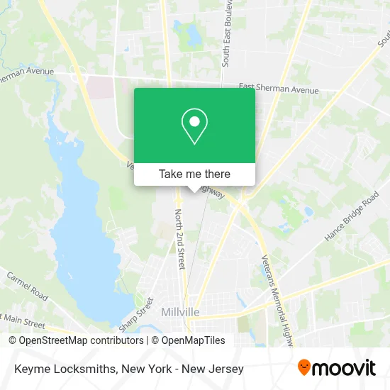
See Keyme Locksmiths, Millville, on the map
Public Transit to Keyme Locksmiths in Millville
Wondering how to get to Keyme Locksmiths in Millville? Moovit helps you find the best way to get to Keyme Locksmiths with step-by-step directions from the nearest public transit station.
Moovit provides free maps and live directions to help you navigate through your city. View schedules, routes, timetables, and find out how long does it take to get to Keyme Locksmiths in real time.
Looking for the nearest stop or station to Keyme Locksmiths? Check out this list of stops closest to your destination: Cumberland Mall - Rt 47 at Hennis Dr; Wheaton Ave at Whitaker Avenue.
Bus: 313, 408, 553.
Want to see if there’s another route that gets you there at an earlier time? Moovit helps you find alternative routes or times. Get directions from and directions to Keyme Locksmiths easily from the Moovit App or Website.
We make riding to Keyme Locksmiths easy, which is why over 1.5 million users, including users in Millville, trust Moovit as the best app for public transit. You don’t need to download an individual bus app or train app, Moovit is your all-in-one transit app that helps you find the best bus time or train time available.
For information on prices of bus, costs and ride fares to Keyme Locksmiths, please check the Moovit app.
Use the app to navigate to popular places including to the airport, hospital, stadium, grocery store, mall, coffee shop, school, college, and university.
Keyme Locksmiths Address: 2291 N 2nd St street in Millville
- Ecoatm,
- Auntie Anne's,
- Jackson Hewitt Tax Service,
- Redbox,
- Sally Beauty,
- Sally Beauty,
- Nail Expo,
- Cumberland Crossroad - Gamestop,
- LL Flooring - Store Liquidation,
- Cumberland Recycling Corporation,
- Nailexpo,
- Entrance RT-55 S,
- E P Henry,
- Minute Key,
- Nothing Bundt Cakes,
- The Vitamin Shoppe,
- Foaming Shark Party,
- Banter by Piercing Pagoda,
- Go! Calendars & Games,
- Piercing Pagoda
Places Near Keyme Locksmiths (Millville)
- 911 Memorial, Manhattan,
- 1 Police Plaza, Manhattan,
- qqqq, Manhattan,
- SoHo, Manhattan,
- Chinatown, Manhattan,
- San Gennaro Feast, Manhattan,
- 66 John Street, Manhattan,
- Bellevue Hospital, Manhattan,
- Mountainside Hospital, Glen Ridge,
- Wall Street, Manhattan,
- 376 Hudson Street, Manhattan,
- Pier 83, Manhattan,
- 26 Federal Plaza, Manhattan,
- Hudson Yards, Manhattan,
- 3 Stone St, Manhattan,
- Rockefeller Center, Manhattan,
- Katz's Deli, Manhattan,
- Queens Center Mall, Queens,
- 111 Centre New York City Supreme Court, Manhattan,
- Times Square, Manhattan
How to get to popular places in New York - New Jersey with public transit
Get around Millville by public transit!
Traveling around Millville has never been so easy. See step by step directions as you travel to any attraction, street or major public transit station. View bus and train schedules, arrival times, service alerts and detailed routes on a map, so you know exactly how to get to anywhere in Millville.
When traveling to any destination around Millville use Moovit's Live Directions with Get Off Notifications to know exactly where and how far to walk, how long to wait for your line, and how many stops are left. Moovit will alert you when it's time to get off — no need to constantly re-check whether yours is the next stop.
Wondering how to use public transit in Millville or how to pay for public transit in Millville? Moovit public transit app can help you navigate your way with public transit easily, and at minimum cost. It includes public transit fees, ticket prices, and costs. Looking for a map of Millville public transit lines? Moovit public transit app shows all public transit maps in Millville with all Bus, Train, Subway, Light Rail, Ferry and Cable Car routes and stops on an interactive map.
New York - New Jersey has 6 transit type(s), including: Bus, Train, Subway, Light Rail, Ferry and Cable Car, operated by several transit agencies, including MTA Subway, Metro-North Railroad, LIRR, PATH, MTA New York City Transit - Express routes, MTA Bus, NJ Transit, NYC Ferry, NICE bus, Bee-Line Bus, NJ Transit Rail, Norwalk Transit District, Hartford Line, River Valley Transit and HART