Directions to Keyme Locksmiths (Yonkers) with public transportation
The following transit lines have routes that pass near Keyme Locksmiths
 Bus: 2, 7, 8, 32, 5.
- Train: 1, ADIRONDACK, BERKSHIRE FLYER, EMPIRE SERVICE, ETHAN ALLEN EXPRESS.
How to get to Keyme Locksmiths by bus?
Click on the bus route to see step by step directions with maps, line arrival times and updated time schedules.
From 1910 monterey avenue, Bronx
70 minFrom 1910 Monterey Avenue, Bronx
67 minFrom George Washington Bridge Bus Station, Manhattan
70 minFrom George Washington Bridge, Manhattan
78 minFrom 2488 Grand Concourse Realty, Bronx
46 minFrom Calvary Hospital, Bronx
77 minFrom Radio Hotel, Manhattan
73 minFrom Albert Einstein College of Medicine, Bronx
74 minFrom Morris Park, Bronx
80 minFrom Empire City Casino Yonkers, Bronx
65 min
How to get to Keyme Locksmiths by train?
Click on the train route to see step by step directions with maps, line arrival times and updated time schedules.
Bus stops near Keyme Locksmiths in Yonkers
Train station near Keyme Locksmiths in Yonkers
- Yonkers, 14 min walk,VIEW
Bus lines to Keyme Locksmiths in Yonkers
What are the closest stations to Keyme Locksmiths?
The closest stations to Keyme Locksmiths are:
- Elm St @ Linden St is 19 yards away, 1 min walk.
- Nepperhan Ave @ Elm St is 118 yards away, 2 min walk.
- Palisade Ave @ Elm St is 366 yards away, 5 min walk.
- Yonkers is 1168 yards away, 14 min walk.
Which bus lines stop near Keyme Locksmiths?
These bus lines stop near Keyme Locksmiths: 2, 7, 8.
Which train line stops near Keyme Locksmiths?
1 (715#| Croton-Harmon)
What’s the nearest train station to Keyme Locksmiths in Yonkers?
The nearest train station to Keyme Locksmiths in Yonkers is Yonkers. It’s a 14 min walk away.
What’s the nearest bus station to Keyme Locksmiths in Yonkers?
The nearest bus station to Keyme Locksmiths in Yonkers is Elm St @ Linden St. It’s a 1 min walk away.
What time is the first train to Keyme Locksmiths in Yonkers?
The 1 is the first train that goes to Keyme Locksmiths in Yonkers. It stops nearby at 5:10 AM.
What time is the last train to Keyme Locksmiths in Yonkers?
The 1 is the last train that goes to Keyme Locksmiths in Yonkers. It stops nearby at 2:27 AM.
What time is the first bus to Keyme Locksmiths in Yonkers?
The 7 is the first bus that goes to Keyme Locksmiths in Yonkers. It stops nearby at 4:53 AM.
What time is the last bus to Keyme Locksmiths in Yonkers?
The 78 is the last bus that goes to Keyme Locksmiths in Yonkers. It stops nearby at 12:54 AM.
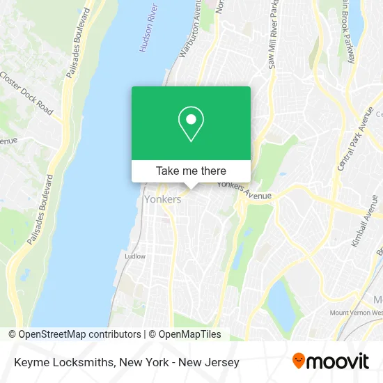
See Keyme Locksmiths, Yonkers, on the map
Public Transit to Keyme Locksmiths in Yonkers
Wondering how to get to Keyme Locksmiths in Yonkers? Moovit helps you find the best way to get to Keyme Locksmiths with step-by-step directions from the nearest public transit station.
Moovit provides free maps and live directions to help you navigate through your city. View schedules, routes, timetables, and find out how long does it take to get to Keyme Locksmiths in real time.
Looking for the nearest stop or station to Keyme Locksmiths? Check out this list of stops closest to your destination: Elm St @ Linden St; Nepperhan Ave @ Elm St; Palisade Ave @ Elm St; Yonkers.
Bus: 2, 7, 8, 32, 5, 9, 78.Train: 1, ADIRONDACK, BERKSHIRE FLYER, EMPIRE SERVICE, ETHAN ALLEN EXPRESS, MAPLE LEAF.
Want to see if there’s another route that gets you there at an earlier time? Moovit helps you find alternative routes or times. Get directions from and directions to Keyme Locksmiths easily from the Moovit App or Website.
We make riding to Keyme Locksmiths easy, which is why over 1.5 million users, including users in Yonkers, trust Moovit as the best app for public transit. You don’t need to download an individual bus app or train app, Moovit is your all-in-one transit app that helps you find the best bus time or train time available.
For information on prices of bus, subway and train, costs and ride fares to Keyme Locksmiths, please check the Moovit app.
Use the app to navigate to popular places including to the airport, hospital, stadium, grocery store, mall, coffee shop, school, college, and university.
Keyme Locksmiths Address: 70 Linden St street in Yonkers
- Libertyx Bitcoin Atm,
- Js All Star Barbershop,
- Chicken Island,
- Lancya Origins,
- Victoria Jimenez,
- Top Tier Equipment Repair Llc,
- El Rey Del Mofongo,
- Elm Meat Market Corp.,
- Quick Bites Deli,
- Nueva Imagen Beauty Salon,
- Animal Abuse,
- رمسيس للشحن الدولي,
- Blaze Jamaican & American Cuisine Llc,
- Tlaxcala La Bella Inc.,
- La H Sazon,
- J.S.C. General Contractors,
- Beauti by Cassandra,
- Comando Boxing Gym,
- 150 Luckys Gourmet Deli,
- Scissors Barbershop
Places Near Keyme Locksmiths (Yonkers)
- 376 Hudson Street, Manhattan,
- Times Square, Manhattan,
- 66 John Street, Manhattan,
- Katz's Deli, Manhattan,
- Queens Center Mall, Queens,
- Pier 83, Manhattan,
- 911 Memorial, Manhattan,
- 1 Police Plaza, Manhattan,
- Mountainside Hospital, Glen Ridge,
- Hudson Yards, Manhattan,
- San Gennaro Feast, Manhattan,
- 3 Stone St, Manhattan,
- Rockefeller Center, Manhattan,
- qqqq, Manhattan,
- Bellevue Hospital, Manhattan,
- Chinatown, Manhattan,
- 111 Centre New York City Supreme Court, Manhattan,
- Wall Street, Manhattan,
- 26 Federal Plaza, Manhattan,
- SoHo, Manhattan
How to get to popular places in New York - New Jersey with public transit
Get around Yonkers by public transit!
Traveling around Yonkers has never been so easy. See step by step directions as you travel to any attraction, street or major public transit station. View bus and train schedules, arrival times, service alerts and detailed routes on a map, so you know exactly how to get to anywhere in Yonkers.
When traveling to any destination around Yonkers use Moovit's Live Directions with Get Off Notifications to know exactly where and how far to walk, how long to wait for your line, and how many stops are left. Moovit will alert you when it's time to get off — no need to constantly re-check whether yours is the next stop.
Wondering how to use public transit in Yonkers or how to pay for public transit in Yonkers? Moovit public transit app can help you navigate your way with public transit easily, and at minimum cost. It includes public transit fees, ticket prices, and costs. Looking for a map of Yonkers public transit lines? Moovit public transit app shows all public transit maps in Yonkers with all Bus, Train, Subway, Light Rail, Ferry and Cable Car routes and stops on an interactive map.
New York - New Jersey has 6 transit type(s), including: Bus, Train, Subway, Light Rail, Ferry and Cable Car, operated by several transit agencies, including MTA Subway, Metro-North Railroad, LIRR, PATH, MTA New York City Transit - Express routes, MTA Bus, NJ Transit, NYC Ferry, NICE bus, Bee-Line Bus, NJ Transit Rail, Norwalk Transit District, Hartford Line, River Valley Transit and HART