How to get to Keystone Therapy Group by bus?
Click on the bus route to see step by step directions with maps, line arrival times and updated time schedules.
From Centreville, VA, Fairfax County
61 minFrom Walmart, Fairfax County
65 minFrom Defense Health Agency Headquarters, Fairfax County
53 minFrom Falls Church Marriott Fairview Park, Fairfax County
62 minFrom Navy Federal Credit Union, Fairfax County
69 minFrom Tysons Corner Center, Fairfax County
47 minFrom Leesburg VA-684, Fairfax County
54 minFrom Inova Fairfax Hospital, Fairfax County
34 minFrom Spa World, Fairfax County
65 minFrom Fair Oaks Mall, Fairfax County
45 min
Bus stops near Keystone Therapy Group in Fairfax
Bus lines to Keystone Therapy Group in Fairfax
What are the closest stations to Keystone Therapy Group?
The closest stations to Keystone Therapy Group are:
- Chain Bridge Rd at Main St (Sb) is 177 yards away, 3 min walk.
- Chain Bridge Rd at Whitehead St is 200 yards away, 3 min walk.
- University Drive at North Street (Sb) is 219 yards away, 3 min walk.
- University Dr at North St is 248 yards away, 4 min walk.
- University Dr+North St is 274 yards away, 4 min walk.
Which bus lines stop near Keystone Therapy Group?
These bus lines stop near Keystone Therapy Group: F23, F50, GOLD 1, GREEN 2.
What’s the nearest bus station to Keystone Therapy Group in Fairfax?
The nearest bus stations to Keystone Therapy Group in Fairfax are Chain Bridge Rd at Main St (Sb), Chain Bridge Rd at Whitehead St and University Drive at North Street (Sb). The closest one is a 3 min walk away.
What time is the first bus to Keystone Therapy Group in Fairfax?
The F50 is the first bus that goes to Keystone Therapy Group in Fairfax. It stops nearby at 5:21 AM.
What time is the last bus to Keystone Therapy Group in Fairfax?
The GREEN 1 is the last bus that goes to Keystone Therapy Group in Fairfax. It stops nearby at 10:41 PM.
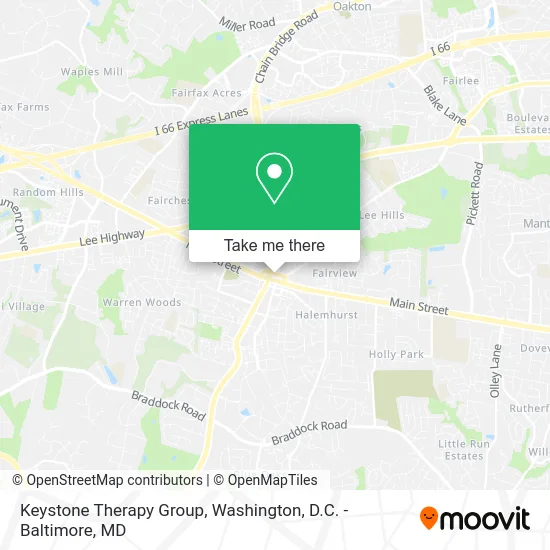
See Keystone Therapy Group, Fairfax, on the map
Public Transit to Keystone Therapy Group in Fairfax
Wondering how to get to Keystone Therapy Group in Fairfax? Moovit helps you find the best way to get to Keystone Therapy Group with step-by-step directions from the nearest public transit station.
Moovit provides free maps and live directions to help you navigate through your city. View schedules, routes, timetables, and find out how long does it take to get to Keystone Therapy Group in real time.
Looking for the nearest stop or station to Keystone Therapy Group? Check out this list of stops closest to your destination: Chain Bridge Rd at Main St (Sb); Chain Bridge Rd at Whitehead St; University Drive at North Street (Sb); University Dr at North St; University Dr+North St.
Bus: F23, F50, GOLD 1, GREEN 2, GREEN 1, GOLD 2.
Want to see if there’s another route that gets you there at an earlier time? Moovit helps you find alternative routes or times. Get directions from and directions to Keystone Therapy Group easily from the Moovit App or Website.
We make riding to Keystone Therapy Group easy, which is why over 1.5 million users, including users in Fairfax, trust Moovit as the best app for public transit. You don’t need to download an individual bus app or train app, Moovit is your all-in-one transit app that helps you find the best bus time or train time available.
For information on prices of bus and metro, costs and ride fares to Keystone Therapy Group, please check the Moovit app.
Use the app to navigate to popular places including to the airport, hospital, stadium, grocery store, mall, coffee shop, school, college, and university.
Keystone Therapy Group Address: 10427 North St Fairfax, VA 22030 street in Fairfax
- Main Menu,
- Pokemoto,
- One Bar & Grill,
- Claudia and Associates,
- Samson Properties,
- MacKenzie's Tunes & Tonics,
- Armando Guadalupe,
- Old Dominion Pizza,
- Playa Hotels & Resorts Recruitment,
- Wardinski Family Foundation,
- Sylvan Learning of Fairfax,
- The Hardman Team,
- Lucy Loves,
- Fairfax County Appliance Repair,
- Silver Diner,
- Rothermel Law Firm,
- ND Greene PC,
- Virginia Business Law,
- Sparkle Boss Cleaners,
- Jon F. Mains & Associates, LLC
Places Near Keystone Therapy Group (Fairfax)
- Georgetown, Washington,
- Camden Yards, Baltimore,
- Washington National Cathedral, Washington,
- National Mall, Washington,
- National Zoo, Washington,
- M&T Bank Stadium, Baltimore,
- National Museum of African American History and Culture, Washington,
- Rock Creek Tennis Center, Washington,
- Warner Theatre, Washington,
- Museum Of The Bible, Washington,
- Pennsylvania Ave NW (3rd st and pennsylvania), Washington,
- Amazon Hq2, Arlington County,
- Sibley Memorial Hospital, Washington,
- The Anthem, Washington,
- Capital One Arena, Washington,
- Marriott Marquis Washington, DC, Washington,
- Basilica of the National Shrine, Washington,
- Washington DC VA Medical Center, Washington,
- PG Mall, Prince George's County,
- Westfield Montgomery Mall, Montgomery County
How to get to popular places in Washington, D.C. - Baltimore, MD with public transit
Get around Fairfax by public transit!
Traveling around Fairfax has never been so easy. See step by step directions as you travel to any attraction, street or major public transit station. View bus and train schedules, arrival times, service alerts and detailed routes on a map, so you know exactly how to get to anywhere in Fairfax.
When traveling to any destination around Fairfax use Moovit's Live Directions with Get Off Notifications to know exactly where and how far to walk, how long to wait for your line, and how many stops are left. Moovit will alert you when it's time to get off — no need to constantly re-check whether yours is the next stop.
Wondering how to use public transit in Fairfax or how to pay for public transit in Fairfax? Moovit public transit app can help you navigate your way with public transit easily, and at minimum cost. It includes public transit fees, ticket prices, and costs. Looking for a map of Fairfax public transit lines? Moovit public transit app shows all public transit maps in Fairfax with all Bus, Train, Metro, Light Rail and Ferry routes and stops on an interactive map.
Washington, D.C. - Baltimore, MD has 5 transit type(s), including: Bus, Train, Metro, Light Rail and Ferry, operated by several transit agencies, including WMATA, Montgomery County Ride On, Fairfax Connector, TheBus, PRTC, DASH - Alexandria, Arlington Transit (ART), RTA of Central Maryland, MDOT MTA, MDOT MTA Light RailLink, MDOT MTA Commuter Bus, MDOT MTA Local Bus, FXBGO!, Virginia Railway Express (VRE) and MARC