How to get to Keyw by bus?
Click on the bus route to see step by step directions with maps, line arrival times and updated time schedules.
From Merriweather Post Pavilion, Howard County
84 minFrom Laurel, Maryland, Prince George's County
53 minFrom Columbia, MD, Howard County
93 minFrom The Mall In Columbia, Howard County
76 minFrom NSA Friendship Annex (FANX), Anne Arundel County
64 minFrom Glen Burnie, MD, Anne Arundel County
132 minFrom Archbishop Spalding High School, Severn
207 minFrom Guinness Open Gate Brewery & Barrel House, Baltimore County
154 min
Bus stop near Keyw in Anne Arundel County
- Arundel Mills Blvd / Milestone Pkwy (Southbound), 9 min walk,VIEW
Train station near Keyw in Anne Arundel County
- Jessup Marc Nb, 60 min walk,VIEW
Bus lines to Keyw in Anne Arundel County
- 502, Towne Centre Laurel,VIEW
What are the closest stations to Keyw?
The closest stations to Keyw are:
- Arundel Mills Blvd / Milestone Pkwy (Southbound) is 706 yards away, 9 min walk.
- Jessup Marc Nb is 5131 yards away, 60 min walk.
Which bus line stops near Keyw?
502 (Towne Centre Laurel)
What’s the nearest bus station to Keyw in Anne Arundel County?
The nearest bus station to Keyw in Anne Arundel County is Arundel Mills Blvd / Milestone Pkwy (Southbound). It’s a 9 min walk away.
What time is the first train to Keyw in Anne Arundel County?
The MARC is the first train that goes to Keyw in Anne Arundel County. It stops nearby at 6:53 AM.
What time is the last train to Keyw in Anne Arundel County?
The MARC is the last train that goes to Keyw in Anne Arundel County. It stops nearby at 5:59 PM.
What time is the first bus to Keyw in Anne Arundel County?
The 502 is the first bus that goes to Keyw in Anne Arundel County. It stops nearby at 6:02 AM.
What time is the last bus to Keyw in Anne Arundel County?
The 502 is the last bus that goes to Keyw in Anne Arundel County. It stops nearby at 10:27 PM.
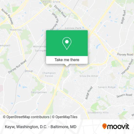
See Keyw, Anne Arundel County, on the map
Public Transit to Keyw in Anne Arundel County
Wondering how to get to Keyw in Anne Arundel County? Moovit helps you find the best way to get to Keyw with step-by-step directions from the nearest public transit station.
Moovit provides free maps and live directions to help you navigate through your city. View schedules, routes, timetables, and find out how long does it take to get to Keyw in real time.
Looking for the nearest stop or station to Keyw? Check out this list of stops closest to your destination: Arundel Mills Blvd / Milestone Pkwy (Southbound); Jessup Marc Nb.
Bus: 502.Train: MARC.
Want to see if there’s another route that gets you there at an earlier time? Moovit helps you find alternative routes or times. Get directions from and directions to Keyw easily from the Moovit App or Website.
We make riding to Keyw easy, which is why over 1.5 million users, including users in Anne Arundel County, trust Moovit as the best app for public transit. You don’t need to download an individual bus app or train app, Moovit is your all-in-one transit app that helps you find the best bus time or train time available.
For information on prices of bus, train and light rail, costs and ride fares to Keyw, please check the Moovit app.
Get to Keyw with public transit and pay for the ride in the Moovit app. In addition to all info you may need for your trip to Keyw, including live directions, real-time arrivals and fare prices, you can also buy public transit passes for your rides. No need for cash or paper tickets to get to Keyw - everything you need is accessible in the app with a click of the button.
Use the app to navigate to popular places including to the airport, hospital, stadium, grocery store, mall, coffee shop, school, college, and university.
Keyw Address: 7740 Milestone Pkwy Hanover, MD 21076 street in Anne Arundel County
- Extra Space Storage,
- UPS Access Point Location,
- Vivo Trattoria & Wine Bar,
- George Martin's Grillfire,
- Credit Union 1,
- M&T Bank,
- Tesla,
- Pool at Residences at Arundel Preserve,
- The Great American Bagel Factory,
- United Healthcare,
- American Lock & Key,
- ATM CVS,
- Grillfire Arundel,
- Arundel Mills,
- SUBWAY,
- Arbors At Arundel Mills Courtyard,
- Marriott Execustay,
- Arbors At Arundel Preserve - Leasing Office,
- STARBUCKS,
- Outspoken Autocare
Places Near Keyw (Anne Arundel County)
- Marriott Marquis Washington, DC, Washington,
- National Mall, Washington,
- Sibley Memorial Hospital, Washington,
- Camden Yards, Baltimore,
- Pennsylvania Ave NW (3rd st and pennsylvania), Washington,
- Washington DC VA Medical Center, Washington,
- Museum Of The Bible, Washington,
- The Anthem, Washington,
- Washington National Cathedral, Washington,
- Warner Theatre, Washington,
- PG Mall, Prince George's County,
- Westfield Montgomery Mall, Montgomery County,
- Rock Creek Tennis Center, Washington,
- Amazon Hq2, Arlington County,
- National Zoo, Washington,
- Capital One Arena, Washington,
- Basilica of the National Shrine, Washington,
- National Museum of African American History and Culture, Washington,
- Georgetown, Washington,
- M&T Bank Stadium, Baltimore
How to get to popular places in Washington, D.C. - Baltimore, MD with public transit
Get around Anne Arundel County by public transit!
Traveling around Anne Arundel County has never been so easy. See step by step directions as you travel to any attraction, street or major public transit station. View bus and train schedules, arrival times, service alerts and detailed routes on a map, so you know exactly how to get to anywhere in Anne Arundel County.
When traveling to any destination around Anne Arundel County use Moovit's Live Directions with Get Off Notifications to know exactly where and how far to walk, how long to wait for your line, and how many stops are left. Moovit will alert you when it's time to get off — no need to constantly re-check whether yours is the next stop.
Wondering how to use public transit in Anne Arundel County or how to pay for public transit in Anne Arundel County? Moovit public transit app can help you navigate your way with public transit easily, and at minimum cost. It includes public transit fees, ticket prices, and costs. Looking for a map of Anne Arundel County public transit lines? Moovit public transit app shows all public transit maps in Anne Arundel County with all Bus, Train, Metro, Light Rail and Ferry routes and stops on an interactive map.
Washington, D.C. - Baltimore, MD has 5 transit type(s), including: Bus, Train, Metro, Light Rail and Ferry, operated by several transit agencies, including WMATA, Montgomery County Ride On, Fairfax Connector, TheBus, PRTC, DASH - Alexandria, Arlington Transit (ART), RTA of Central Maryland, MDOT MTA, MDOT MTA Light RailLink, MDOT MTA Commuter Bus, MDOT MTA Local Bus, FXBGO!, Virginia Railway Express (VRE) and MARC