How to get to Kidz @ Play by bus?
Click on the bus route to see step by step directions with maps, line arrival times and updated time schedules.
From American Dream, East Rutherford
60 minFrom Union City, NJ, Union City
71 minFrom Hudson Mall, Jersey City
77 minFrom Community Lines, Jersey City
83 minFrom West Orange, NJ, West Orange
64 minFrom Carlstadt, NJ, Carlstadt
39 minFrom Jersey City, NJ, Jersey City
98 minFrom Red Bull Arena, Harrison
52 minFrom Lodi, NJ, Lodi
66 minFrom Beth Israel Hospital, Newark
58 min
Bus stops near Kidz @ Play in Belleville
Light Rail stations near Kidz @ Play in Belleville
- Silver Lake Light Rail Station, 51 min walk,VIEW
Train station near Kidz @ Play in Belleville
- Lyndhurst, 58 min walk,VIEW
Bus lines to Kidz @ Play in Belleville
What are the closest stations to Kidz @ Play?
The closest stations to Kidz @ Play are:
- Washington Ave at Holmes St is 506 yards away, 7 min walk.
- Rutgers St at Cortlandt St is 617 yards away, 8 min walk.
- Silver Lake Light Rail Station is 4353 yards away, 51 min walk.
- Lyndhurst is 4923 yards away, 58 min walk.
Which bus lines stop near Kidz @ Play?
These bus lines stop near Kidz @ Play: 13, 76.
What’s the nearest bus station to Kidz @ Play in Belleville?
The nearest bus station to Kidz @ Play in Belleville is Washington Ave at Holmes St. It’s a 7 min walk away.
What time is the first light rail to Kidz @ Play in Belleville?
The NLR is the first light rail that goes to Kidz @ Play in Belleville. It stops nearby at 4:12 AM.
What time is the last light rail to Kidz @ Play in Belleville?
The NLR is the last light rail that goes to Kidz @ Play in Belleville. It stops nearby at 1:33 AM.
What time is the first train to Kidz @ Play in Belleville?
The MCL is the first train that goes to Kidz @ Play in Belleville. It stops nearby at 5:40 AM.
What time is the last train to Kidz @ Play in Belleville?
The MCL is the last train that goes to Kidz @ Play in Belleville. It stops nearby at 1:49 AM.
What time is the first bus to Kidz @ Play in Belleville?
The 13 is the first bus that goes to Kidz @ Play in Belleville. It stops nearby at 3:52 AM.
What time is the last bus to Kidz @ Play in Belleville?
The 13 is the last bus that goes to Kidz @ Play in Belleville. It stops nearby at 2:12 AM.
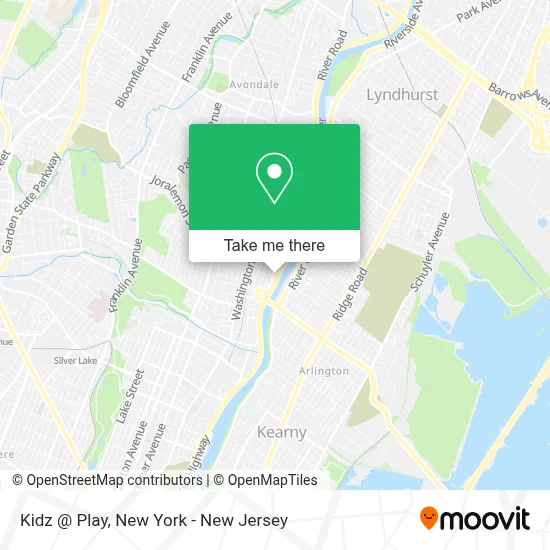
See Kidz @ Play, Belleville, on the map
Public Transit to Kidz @ Play in Belleville
Wondering how to get to Kidz @ Play in Belleville? Moovit helps you find the best way to get to Kidz @ Play with step-by-step directions from the nearest public transit station.
Moovit provides free maps and live directions to help you navigate through your city. View schedules, routes, timetables, and find out how long does it take to get to Kidz @ Play in real time.
Looking for the nearest stop or station to Kidz @ Play? Check out this list of stops closest to your destination: Washington Ave at Holmes St; Rutgers St at Cortlandt St; Silver Lake Light Rail Station; Lyndhurst.
Bus: 13, 76, 109.Train: MCL, PJL.
Want to see if there’s another route that gets you there at an earlier time? Moovit helps you find alternative routes or times. Get directions from and directions to Kidz @ Play easily from the Moovit App or Website.
We make riding to Kidz @ Play easy, which is why over 1.5 million users, including users in Belleville, trust Moovit as the best app for public transit. You don’t need to download an individual bus app or train app, Moovit is your all-in-one transit app that helps you find the best bus time or train time available.
For information on prices of bus and train, costs and ride fares to Kidz @ Play, please check the Moovit app.
Use the app to navigate to popular places including to the airport, hospital, stadium, grocery store, mall, coffee shop, school, college, and university.
Kidz @ Play Address: 281 Main St street in Belleville
- Brush’D by Diana,
- P J's Auto Body & Service,
- Pj's Auto Body & Service Llc,
- Pj's Auto Body and Service,
- Zentai Martial Arts and Summer Camp,
- Pizza Village Cafe,
- La Caravana Grill,
- Little Zion U.A.M.E. Church,
- Taqueria Los Güeros,
- Sakura Teriyaki,
- Gnc,
- Extra Space Storage,
- Elite Union Appliances For Less,
- Belleville Township,
- North Arlington Football Field,
- Little Caesars Pizza,
- Woodpeckers,
- Corrados Famiy Affair,
- Corrado's Family Affair Market,
- Pulchro Usa
Places Near Kidz @ Play (Belleville)
- 26 Federal Plaza, Manhattan,
- 3 Stone St, Manhattan,
- 66 John Street, Manhattan,
- Bellevue Hospital, Manhattan,
- Chinatown, Manhattan,
- Pier 83, Manhattan,
- Times Square, Manhattan,
- qqqq, Manhattan,
- Wall Street, Manhattan,
- Rockefeller Center, Manhattan,
- Mountainside Hospital, Glen Ridge,
- 111 Centre New York City Supreme Court, Manhattan,
- Queens Center Mall, Queens,
- San Gennaro Feast, Manhattan,
- 911 Memorial, Manhattan,
- 1 Police Plaza, Manhattan,
- 376 Hudson Street, Manhattan,
- SoHo, Manhattan,
- Katz's Deli, Manhattan,
- Hudson Yards, Manhattan
How to get to popular places in New York - New Jersey with public transit
Get around Belleville by public transit!
Traveling around Belleville has never been so easy. See step by step directions as you travel to any attraction, street or major public transit station. View bus and train schedules, arrival times, service alerts and detailed routes on a map, so you know exactly how to get to anywhere in Belleville.
When traveling to any destination around Belleville use Moovit's Live Directions with Get Off Notifications to know exactly where and how far to walk, how long to wait for your line, and how many stops are left. Moovit will alert you when it's time to get off — no need to constantly re-check whether yours is the next stop.
Wondering how to use public transit in Belleville or how to pay for public transit in Belleville? Moovit public transit app can help you navigate your way with public transit easily, and at minimum cost. It includes public transit fees, ticket prices, and costs. Looking for a map of Belleville public transit lines? Moovit public transit app shows all public transit maps in Belleville with all Bus, Train, Subway, Light Rail, Ferry and Cable Car routes and stops on an interactive map.
New York - New Jersey has 6 transit type(s), including: Bus, Train, Subway, Light Rail, Ferry and Cable Car, operated by several transit agencies, including MTA Subway, Metro-North Railroad, LIRR, PATH, MTA New York City Transit - Express routes, MTA Bus, NJ Transit, NYC Ferry, NICE bus, Bee-Line Bus, NJ Transit Rail, Norwalk Transit District, Hartford Line, River Valley Transit and HART