How to get to Kkoo Look by bus?
Click on the bus route to see step by step directions with maps, line arrival times and updated time schedules.
From Velaria, Aguascalientes
80 minFrom Calle Privada Norberto Gómez Hornedo, Aguascalientes
33 minFrom Canteras de Santa Imelda, Aguascalientes
52 minFrom Prolongación Paseo de la Asunción, Aguascalientes
51 minFrom Emiliano Zapata, Aguascalientes
44 minFrom Lomas de Vistabella, Aguascalientes
61 minFrom Fracc. Insurgentes, Aguascalientes
52 minFrom Parque Recreativo Benito Juarez, Aguascalientes
54 minFrom Palacio de Justicia, Aguascalientes
33 minFrom Fracc. Villa las Norias, Aguascalientes
52 min
Bus stops near Kkoo Look in Aguascalientes
Bus lines to Kkoo Look in Aguascalientes
What are the closest stations to Kkoo Look?
The closest stations to Kkoo Look are:
- Av.Valle De Los Romeros, 1510 is 32 meters away, 1 min walk.
- Ermita De San Sebastián, 904 is 566 meters away, 8 min walk.
Which bus lines stop near Kkoo Look?
These bus lines stop near Kkoo Look: RUTA 23, RUTA 30, RUTA 34.
What’s the nearest bus station to Kkoo Look in Aguascalientes?
The nearest bus station to Kkoo Look in Aguascalientes is Av.Valle De Los Romeros, 1510. It’s a 1 min walk away.
What time is the first bus to Kkoo Look in Aguascalientes?
The RUTA 30 is the first bus that goes to Kkoo Look in Aguascalientes. It stops nearby at 5:52 AM.
What time is the last bus to Kkoo Look in Aguascalientes?
The RUTA 43 is the last bus that goes to Kkoo Look in Aguascalientes. It stops nearby at 10:44 PM.
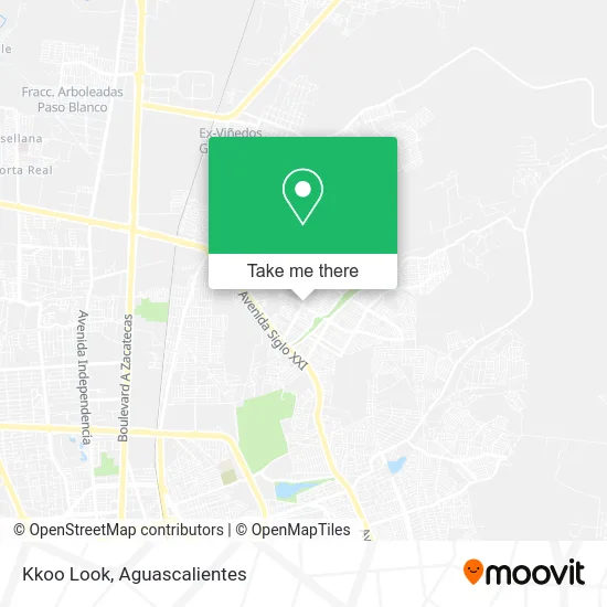
See Kkoo Look, Aguascalientes, on the map
Public Transit to Kkoo Look in Aguascalientes
Wondering how to get to Kkoo Look in Aguascalientes? Moovit helps you find the best way to get to Kkoo Look with step-by-step directions from the nearest public transit station.
Moovit provides free maps and live directions to help you navigate through your city. View schedules, routes, timetables, and find out how long does it take to get to Kkoo Look in real time.
Looking for the nearest stop or station to Kkoo Look? Check out this list of stops closest to your destination: Av.Valle De Los Romeros; Ermita De San Sebastián.
Bus: RUTA 23, RUTA 30, RUTA 34, RUTA 08, RUTA 37, RUTA 43, RUTA 43.
Want to see if there’s another route that gets you there at an earlier time? Moovit helps you find alternative routes or times. Get directions from and directions to Kkoo Look easily from the Moovit App or Website.
We make riding to Kkoo Look easy, which is why over 1.5 million users, including users in Aguascalientes, trust Moovit as the best app for public transit. You don’t need to download an individual bus app or train app, Moovit is your all-in-one transit app that helps you find the best bus time or train time available.
For information on prices of bus, costs and ride fares to Kkoo Look, please check the Moovit app.
Use the app to navigate to popular places including to the airport, hospital, stadium, grocery store, mall, coffee shop, school, college, and university.
Kkoo Look Address: Kkoo Look, Avenida Valle de Los Romeros 908, Ntra Sra de la Asunción Sec Alameda, 20126 Aguascalien street in Aguascalientes
- Corte de Cabello,
- CERVEZA CORONA EN AGUASCALIENTES, S.A. DE C.V.,
- Ropa y Novedades Analy,
- Escuela Secundaria Técnica Num. 41,
- WESTERN UNION,
- Parque Villas de Nuestra Señora Sector Alameda,
- La Feria Nacional de San Marcos Aguascalientes, agsm,
- Accesorios de Telefonía Mz,
- Carniceria Tauro Iii,
- Tienda de Ropa de Temporada Relax,
- Farmacia de Genericos y Similares,
- Tienda Escolar de la Escuela Secundaria Tecnica 41,
- Cenaduria,
- Escuela Primaria Semblanza Nacional,
- Papelería La Lomita,
- Villas de Nuestra Señora de la Asunción,
- Antojeria y Menuderia El Rinconcito,
- Grupo Recimetal,
- Acambaro's Pizza,
- Cooperativa Escolar Turno Matutino
Places Near Kkoo Look (Aguascalientes)
- Jesús María, Aguascalientes,
- Nuevo Hospital Hidalgo, Aguascalientes,
- Centro Comercial Altaria, Aguascalientes,
- Hospital Imss No. 3, Aguascalientes,
- Ciudad industrial, Aguascalientes,
- Universidad Autónoma de Aguascalientes, Aguascalientes,
- Central De Autobuses, Aguascalientes,
- Parque Las Tres Centurias, Aguascalientes,
- clinica 3 uaa, Aguascalientes,
- ESPACIOS, Aguascalientes,
- Imss Clinica 1, Aguascalientes,
- La Isla San Marcos, Aguascalientes,
- Agropecuario, Aguascalientes,
- Isla San Marcos, Aguascalientes,
- Villasuncion, Aguascalientes,
- Terminal De Combis, Aguascalientes,
- Centro, Aguascalientes,
- Blvd. Luis Donaldo Colosio, Aguascalientes,
- Villas de Nuestra Señora de la Asunción, Aguascalientes,
- Aeropuerto de Aguascalientes S.A. de C.V., Aguascalientes
How to get to popular places in Aguascalientes with public transit
Get around Aguascalientes by public transit!
Traveling around Aguascalientes has never been so easy. See step by step directions as you travel to any attraction, street or major public transit station. View bus and train schedules, arrival times, service alerts and detailed routes on a map, so you know exactly how to get to anywhere in Aguascalientes.
When traveling to any destination around Aguascalientes use Moovit's Live Directions with Get Off Notifications to know exactly where and how far to walk, how long to wait for your line, and how many stops are left. Moovit will alert you when it's time to get off — no need to constantly re-check whether yours is the next stop.
Wondering how to use public transit in Aguascalientes or how to pay for public transit in Aguascalientes? Moovit public transit app can help you navigate your way with public transit easily, and at minimum cost. It includes public transit fees, ticket prices, and costs. Looking for a map of Aguascalientes public transit lines? Moovit public transit app shows all public transit maps in Aguascalientes with all bus routes and stops on an interactive map.
Aguascalientes has 1 transit type(s), including: bus, operated by several transit agencies, including Coordinación General de Movilidad