How to get to Klima Control (Fire Controls) by bus?
Click on the bus route to see step by step directions with maps, line arrival times and updated time schedules.
From Cam Transfer, Coral Springs-Margate
70 minFrom 95 Express Bus Stop, Fort Lauderdale
51 minFrom Piper High School, Plantation
96 minFrom Broward Health Medical Center, Fort Lauderdale
61 minFrom North Area Transportation Terminal, Pompano Beach
34 minFrom Happy Skipper, Fort Lauderdale
52 minFrom Oakland Park Boulevard & University Drive, Plantation
68 minFrom Sample Rd, Deerfield Beach
39 minFrom St. Thomas Aquinas High School, Fort Lauderdale
65 minFrom Las Olas Beach, Fort Lauderdale
62 min
How to get to Klima Control (Fire Controls) by train?
Click on the train route to see step by step directions with maps, line arrival times and updated time schedules.
Bus stops near Klima Control (Fire Controls) in Fort Lauderdale
Train station near Klima Control (Fire Controls) in Fort Lauderdale
- Cypress Creek Station, 60 min walk,VIEW
Bus lines to Klima Control (Fire Controls) in Fort Lauderdale
What are the closest stations to Klima Control (Fire Controls)?
The closest stations to Klima Control (Fire Controls) are:
- Powerline Road/Northwest 56th Street - (Pompano CCC) is 227 yards away, 3 min walk.
- Commercial Boulevard/Powerline Road is 1106 yards away, 14 min walk.
- Andrews Avenue/Northwest 56th Street is 2233 yards away, 26 min walk.
- Cypress Creek Station is 5092 yards away, 60 min walk.
Which bus lines stop near Klima Control (Fire Controls)?
These bus lines stop near Klima Control (Fire Controls): 14, 55.
Which train line stops near Klima Control (Fire Controls)?
TRIRAIL (Northbound To Mangonia Park)
What’s the nearest bus station to Klima Control (Fire Controls) in Fort Lauderdale?
The nearest bus station to Klima Control (Fire Controls) in Fort Lauderdale is Powerline Road/Northwest 56th Street - (Pompano CCC). It’s a 3 min walk away.
What time is the first train to Klima Control (Fire Controls) in Fort Lauderdale?
The TRIRAIL is the first train that goes to Klima Control (Fire Controls) in Fort Lauderdale. It stops nearby at 4:38 AM.
What time is the last train to Klima Control (Fire Controls) in Fort Lauderdale?
The TRIRAIL is the last train that goes to Klima Control (Fire Controls) in Fort Lauderdale. It stops nearby at 10:43 PM.
What time is the first bus to Klima Control (Fire Controls) in Fort Lauderdale?
The 55 is the first bus that goes to Klima Control (Fire Controls) in Fort Lauderdale. It stops nearby at 4:53 AM.
What time is the last bus to Klima Control (Fire Controls) in Fort Lauderdale?
The 14 is the last bus that goes to Klima Control (Fire Controls) in Fort Lauderdale. It stops nearby at 11:58 PM.
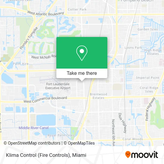
See Klima Control (Fire Controls), Fort Lauderdale, on the map
Public Transit to Klima Control (Fire Controls) in Fort Lauderdale
Wondering how to get to Klima Control (Fire Controls) in Fort Lauderdale? Moovit helps you find the best way to get to Klima Control (Fire Controls) with step-by-step directions from the nearest public transit station.
Moovit provides free maps and live directions to help you navigate through your city. View schedules, routes, timetables, and find out how long does it take to get to Klima Control (Fire Controls) in real time.
Looking for the nearest stop or station to Klima Control (Fire Controls)? Check out this list of stops closest to your destination: Powerline Road/Northwest 56th Street - (Pompano CCC); Commercial Boulevard/Powerline Road; Andrews Avenue/Northwest 56th Street; Cypress Creek Station.
Bus: 14, 55, 60.Train: TRIRAIL.
Want to see if there’s another route that gets you there at an earlier time? Moovit helps you find alternative routes or times. Get directions from and directions to Klima Control (Fire Controls) easily from the Moovit App or Website.
We make riding to Klima Control (Fire Controls) easy, which is why over 1.5 million users, including users in Fort Lauderdale, trust Moovit as the best app for public transit. You don’t need to download an individual bus app or train app, Moovit is your all-in-one transit app that helps you find the best bus time or train time available.
For information on prices of bus and train, costs and ride fares to Klima Control (Fire Controls), please check the Moovit app.
Use the app to navigate to popular places including to the airport, hospital, stadium, grocery store, mall, coffee shop, school, college, and university.
Klima Control (Fire Controls) Address: 5601 Powerline Rd street in Fort Lauderdale
- Thrifty Rental Car,
- South Florida Chamber of Commerce,
- AAA Battery of Sunrise,
- Hornerxpress-South Florida,
- Chavez Granite Kitchen Creations,
- M & L Auto Body Shop Inc,
- Probation & Parole Office,
- Mighty Grip and Lighting,
- CSC,
- CSC Roofing,
- Built Not Bought Custom Designs,
- Green Wave Biodiesel,
- Foundation Art Services,
- State of Florida,
- Corrections Department,
- Transportes Zuleta Express,
- Billet Custom,
- Fdot Broward Operations Center,
- National Car Rental,
- Velocity Warehouse
Places Near Klima Control (Fire Controls) (Fort Lauderdale)
- Dolphin Mall, Miami,
- Miami Freedom Park, Miami,
- Miami-Dade County Courthouse, Miami,
- Zoo Miami, Miami,
- Sawgrass Mall, Miami,
- Port of Miami Cruise Terminal, Miami,
- Dolphin Mall Bus, Miami,
- Wynwood, Miami,
- Aventura Mall, Miami,
- Brickell City Centre, Miami,
- Keiser University Flagship Campus, West Palm Beach,
- Richard E. Gerstein Justice Building, Miami,
- Aventura Mall, Miami Beach,
- Hard Rock Stadium, Miami Gardens,
- Marlins Park, Miami,
- Sawgrass mall ( FL ), Miami Beach,
- Bayside Marketplace, Miami,
- Miami Design District, Miami,
- Miami VA Hospital, Miami,
- Little Havana, Miami
How to get to popular places in Miami with public transit
Get around Fort Lauderdale by public transit!
Traveling around Fort Lauderdale has never been so easy. See step by step directions as you travel to any attraction, street or major public transit station. View bus and train schedules, arrival times, service alerts and detailed routes on a map, so you know exactly how to get to anywhere in Fort Lauderdale.
When traveling to any destination around Fort Lauderdale use Moovit's Live Directions with Get Off Notifications to know exactly where and how far to walk, how long to wait for your line, and how many stops are left. Moovit will alert you when it's time to get off — no need to constantly re-check whether yours is the next stop.
Wondering how to use public transit in Fort Lauderdale or how to pay for public transit in Fort Lauderdale? Moovit public transit app can help you navigate your way with public transit easily, and at minimum cost. It includes public transit fees, ticket prices, and costs. Looking for a map of Fort Lauderdale public transit lines? Moovit public transit app shows all public transit maps in Fort Lauderdale with all Bus, Train, Light Rail and Ferry routes and stops on an interactive map.
Miami has 4 transit type(s), including: Bus, Train, Light Rail and Ferry, operated by several transit agencies, including Broward County Transit, Miami-Dade Transit, Metrorail, Palm Tran, Tri-Rail, Brightline, MARTY, City of Homestead Trolley, Key West Transit, Treasure Coast Connector, GoLine IRT, Amtrak, Greyhound-us, FlixBus-us and Aventura Express Shuttle Bus