Knott-Danbrook stop - Tuesday schedule
| Line | Direction | Time |
|---|---|---|
| 25 | Fullerton Park and Ride | 5:41 AM |
| 25 | Fullerton Park and Ride | 6:29 AM |
| 25 | Fullerton Park and Ride | 6:56 AM |
| 25 | Fullerton Park and Ride | 7:34 AM |
| 25 | Fullerton Park and Ride | 8:07 AM |
| 25 | Fullerton Park and Ride | 8:37 AM |
| 25 | Fullerton Park and Ride | 9:05 AM |
| 25 | Fullerton Park and Ride | 9:35 AM |
| 25 | Fullerton Park and Ride | 10:03 AM |
| 25 | Fullerton Park and Ride | 10:47 AM |
| 25 | Fullerton Park and Ride | 11:36 AM |
| 25 | Fullerton Park and Ride | 12:26 PM |
| 25 | Fullerton Park and Ride | 1:15 PM |
| 25 | Fullerton Park and Ride | 2:05 PM |
| 25 | Fullerton Park and Ride | 2:53 PM |
| 25 | Fullerton Park and Ride | 3:51 PM |
| 25 | Fullerton Park and Ride | 4:21 PM |
| 25 | Fullerton Park and Ride | 4:51 PM |
| 25 | Fullerton Park and Ride | 5:26 PM |
| 25 | Fullerton Park and Ride | 5:55 PM |
| 25 | Fullerton Park and Ride | 6:25 PM |
| 25 | Fullerton Park and Ride | 7:00 PM |
| 25 | Fullerton Park and Ride | 7:53 PM |
| 25 | Fullerton Park and Ride | 8:35 PM |
| 25 | Fullerton Park and Ride | 9:24 PM |
Directions to Knott-Danbrook stop (Anaheim) with public transit
The following transit lines have routes that pass near Knott-Danbrook
 Bus: 25, 42, 42A.
How to get to Knott-Danbrook stop by bus?
Click on the bus route to see step by step directions with maps, line arrival times and updated time schedules.
Bus stops near Knott-Danbrook stop in Anaheim
- Knott-Olinda, 2 min walk,
- Lincoln-Knott, 7 min walk,
Bus lines to Knott-Danbrook stop in Anaheim
- 25, Fullerton Park and Ride,
- 42, The Village at Orange,
- 42A, The Village at Orange,
What are the closest stations to Knott-Danbrook?
The closest stations to Knott-Danbrook are:
- Knott-Olinda is 127 yards away, 2 min walk.
- Lincoln-Knott is 526 yards away, 7 min walk.
Which bus lines stop near Knott-Danbrook?
These bus lines stop near Knott-Danbrook: 25, 42.
What’s the nearest bus station to Knott-Danbrook in Anaheim?
The nearest bus station to Knott-Danbrook in Anaheim is Knott-Olinda. It’s a 2 min walk away.
What time is the first bus to Knott-Danbrook in Anaheim?
The 25 is the first bus that goes to Knott-Danbrook in Anaheim. It stops nearby at 4:14 AM.
What time is the last bus to Knott-Danbrook in Anaheim?
The 42 is the last bus that goes to Knott-Danbrook in Anaheim. It stops nearby at 11:59 PM.
Knott-Danbrook station
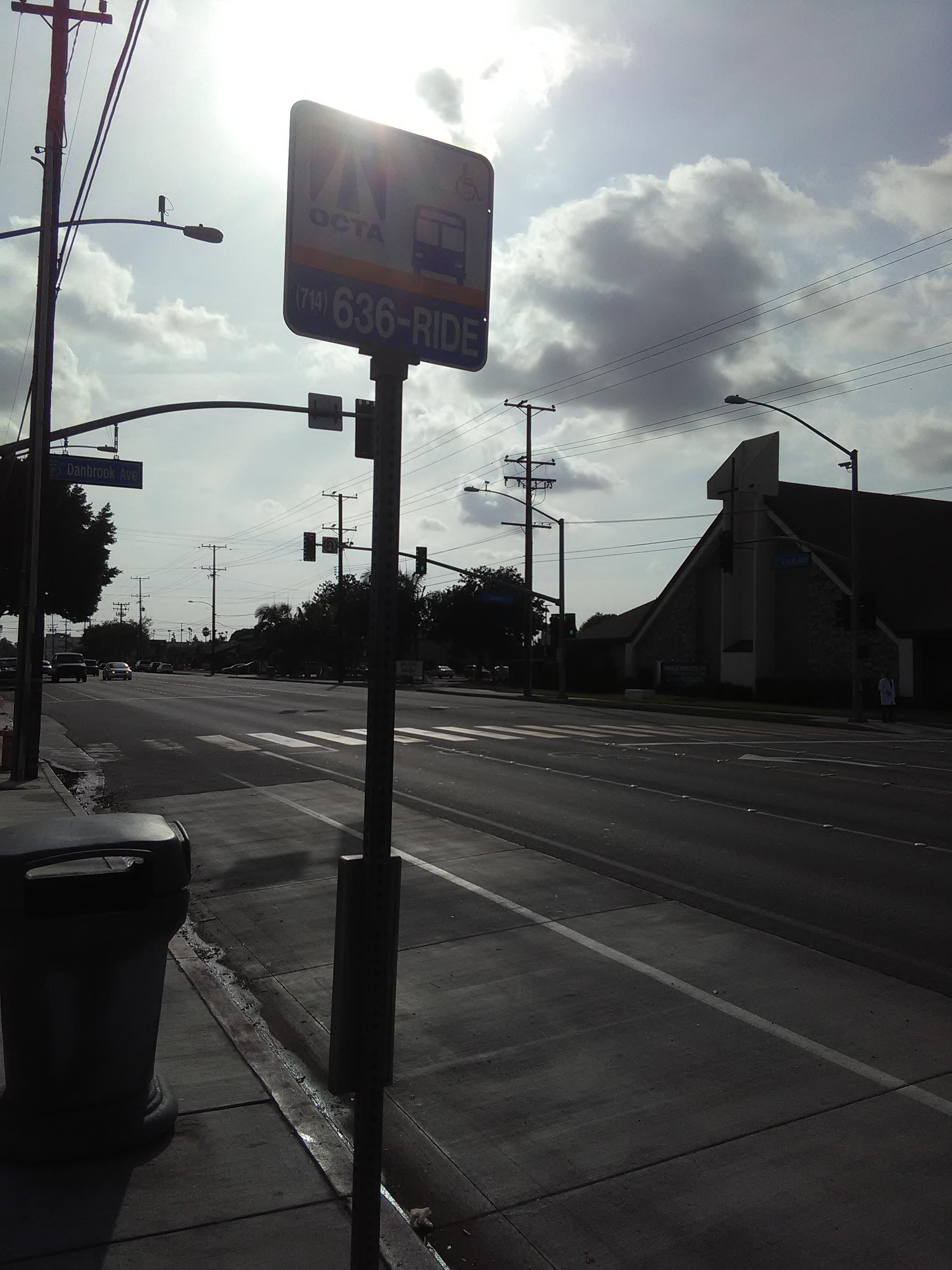 Taken by Anonymous
See Knott-Danbrook stop, Anaheim, on the map
Public transit to Knott-Danbrook stop (ID: 0297) in Anaheim
Looking for directions to Knott-Danbrook in Anaheim, United States?
Download the Moovit App to find the current schedule and step-by-step directions for Bus routes that pass through Knott-Danbrook.
Looking for the nearest stops closest to Knott-Danbrook ? Check out this list of closest stops to your destination: Knott-Olinda; Lincoln-Knott.
Bus: 25, 42, 42A.
We make riding on public transit to Knott-Danbrook easy, which is why over 1.5 million users, including users in Anaheim trust Moovit as the best app for public transit.
Use the app to navigate to popular places including to the airport, hospital, stadium, grocery store, mall, coffee shop, school, college, and university.
Knott-Danbrook stop’s code is 0297
The first line to this stop is 25, at 5:41 AM, and the last line is 25 at 10:14 PM.
308 S Knott Ave, Anaheim, CA, USA
This stop serves OCTA’s lines
- Knott-Olinda,
- Lincoln-Knott
Bus stops near Knott-Danbrook stop
- Vernon & Broadway (CCW),
- Slauson / Vermont,
- Balboa Blvd & Roscoe Blvd (Northbound),
- Atlantic / Imperial,
- E Artesia Blvd & Santa Fe Ave,
- Victory Blvd & Canoga Ave,
- Vineland / Sherman Way,
- 41st & Compton Ave. (CW),
- Vermont Ave & Manchester Ave (Southbound),
- Harbor-Santa Ana,
- LAX Terminal 1 Lower Level Flyaway Stop,
- Hollywood / Western Station,
- Sherman Way / Canoga,
- 9th / Broadway,
- Laurel Canyon / Lookout Mountain,
- Olive / San Fernando,
- Santa Monica EB & Cloverfield FS,
- Arcadia and Los Angeles St W,
- Wilshire / Western,
- Pico / Alvarado
Popular public transit stations in Anaheim
Get around Anaheim by public transit!
Traveling around Anaheim has never been so easy. See step by step directions as you travel to any attraction, street or major public transit station. View bus and train schedules, arrival times, service alerts and detailed routes on a map, so you know exactly how to get to anywhere in Anaheim.
When traveling to any destination around Anaheim use Moovit's Live Directions with Get Off Notifications to know exactly where and how far to walk, how long to wait for your line, and how many stops are left. Moovit will alert you when it's time to get off — no need to constantly re-check whether yours is the next stop.
Wondering how to use public transit in Anaheim or how to pay for public transit in Anaheim? Moovit public transit app can help you navigate your way with public transit easily, and at minimum cost. It includes public transit fees, ticket prices, and costs. Looking for a map of Anaheim public transit lines? Moovit public transit app shows all public transit maps in Anaheim with all Bus, Train, Subway, Ferry and Funicular routes and stops on an interactive map.
Los Angeles has 5 transit type(s), including: Bus, Train, Subway, Ferry and Funicular, operated by several transit agencies, including Metro, Alhambra Community Transit, Arcadia Transit, ART, Artesia Transit, AVTA, Baldwin Park Transit, Beach Cities Transit, Beaumont Transit, Bell Gardens Town Trolley, Bellflower Bus, Big Blue Bus, Burbank Bus, Calabasas Trolley and Camarillo Area Transit