How to get to Kwik Printer by bus?
Click on the bus route to see step by step directions with maps, line arrival times and updated time schedules.
From Miami Dade Waste Disposal Center 2400 Sw 117 Ave, Kendale Lakes-Tamiami
56 minFrom Miami Palmetto Senior High School, Kendall-Palmetto Bay
84 minFrom Palmetto High School, Kendall-Palmetto Bay
80 minFrom SW 184 St & US 1, Kendall-Palmetto Bay
60 minFrom Florida International University, South Westside
80 minFrom Miami Killian Senior High School, Kendall-Palmetto Bay
32 minFrom Florida International University-Modesto A. Maidique Campus, South Westside
80 minFrom G. Holmes Braddock Senior High School, Kendale Lakes-Tamiami
66 minFrom John A. Ferguson Senior High School, Kendale Lakes-Tamiami
72 minFrom Eureka Drive & U.S. 1, Kendall-Palmetto Bay
60 min
Bus stops near Kwik Printer in Kendale Lakes-Tamiami
Bus lines to Kwik Printer in Kendale Lakes-Tamiami
What are the closest stations to Kwik Printer?
The closest stations to Kwik Printer are:
- Sw 104 St & Sw 134 Av is 363 yards away, 5 min walk.
- Sw 137 Av @ Sw 104 St is 404 yards away, 5 min walk.
Which bus lines stop near Kwik Printer?
These bus lines stop near Kwik Printer: 104, 137, 204.
What’s the nearest bus station to Kwik Printer in Kendale Lakes-Tamiami?
The nearest bus stations to Kwik Printer in Kendale Lakes-Tamiami are Sw 104 St & Sw 134 Av and Sw 137 Av @ Sw 104 St. The closest one is a 5 min walk away.
What time is the first bus to Kwik Printer in Kendale Lakes-Tamiami?
The 104 is the first bus that goes to Kwik Printer in Kendale Lakes-Tamiami. It stops nearby at 5:15 AM.
What time is the last bus to Kwik Printer in Kendale Lakes-Tamiami?
The 104 is the last bus that goes to Kwik Printer in Kendale Lakes-Tamiami. It stops nearby at 11:47 PM.
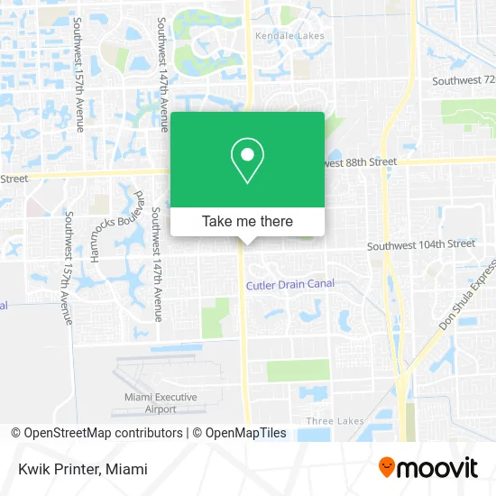
See Kwik Printer, Kendale Lakes-Tamiami, on the map
Public Transit to Kwik Printer in Kendale Lakes-Tamiami
Wondering how to get to Kwik Printer in Kendale Lakes-Tamiami? Moovit helps you find the best way to get to Kwik Printer with step-by-step directions from the nearest public transit station.
Moovit provides free maps and live directions to help you navigate through your city. View schedules, routes, timetables, and find out how long does it take to get to Kwik Printer in real time.
Looking for the nearest stop or station to Kwik Printer? Check out this list of stops closest to your destination: Sw 104 St & Sw 134 Av; Sw 137 Av @ Sw 104 St.
Bus: 104, 137, 204.
Want to see if there’s another route that gets you there at an earlier time? Moovit helps you find alternative routes or times. Get directions from and directions to Kwik Printer easily from the Moovit App or Website.
We make riding to Kwik Printer easy, which is why over 1.5 million users, including users in Kendale Lakes-Tamiami, trust Moovit as the best app for public transit. You don’t need to download an individual bus app or train app, Moovit is your all-in-one transit app that helps you find the best bus time or train time available.
For information on prices of bus and train, costs and ride fares to Kwik Printer, please check the Moovit app.
Use the app to navigate to popular places including to the airport, hospital, stadium, grocery store, mall, coffee shop, school, college, and university.
Kwik Printer Address: 10305 SW 135th Pl Miami, FL 33186 street in Kendale Lakes-Tamiami
- Valencia Townhomes,
- The Crossings,
- 9792 SW 138th Ave Aa2l,
- Maggies House,
- Ribs and Wings,
- Los Paisas Market,
- Kings Meadow Coin Laundry,
- Couture Bridal Beauty,
- Bj's Wholesale Club #179,
- Valentino's Cuisine,
- Daniel Perez Jiu - Jitsu,
- Escobar's Mobile Mechanic,
- Diverso Nails,
- Viviana Franco Hair Salon,
- Nene Traviesa,
- TEXACO,
- Calusa Elementary School,
- Kendall Carrier,
- Southwest 137th Avenue & Southwest 96th Street,
- Seguro de Autos en Miami
Places Near Kwik Printer (Kendale Lakes-Tamiami)
- Aventura Mall, Miami,
- Dolphin Mall Bus, Miami,
- Richard E. Gerstein Justice Building, Miami,
- Brickell City Centre, Miami,
- Aventura Mall, Miami Beach,
- Miami-Dade County Courthouse, Miami,
- Sawgrass Mall, Miami,
- Miami Freedom Park, Miami,
- Miami VA Hospital, Miami,
- Marlins Park, Miami,
- Miami Design District, Miami,
- Port of Miami Cruise Terminal, Miami,
- Keiser University Flagship Campus, West Palm Beach,
- Bayside Marketplace, Miami,
- Wynwood, Miami,
- Little Havana, Miami,
- Zoo Miami, Miami,
- Sawgrass mall ( FL ), Miami Beach,
- Hard Rock Stadium, Miami Gardens,
- Dolphin Mall, Miami
How to get to popular places in Miami with public transit
Get around Kendale Lakes-Tamiami by public transit!
Traveling around Kendale Lakes-Tamiami has never been so easy. See step by step directions as you travel to any attraction, street or major public transit station. View bus and train schedules, arrival times, service alerts and detailed routes on a map, so you know exactly how to get to anywhere in Kendale Lakes-Tamiami.
When traveling to any destination around Kendale Lakes-Tamiami use Moovit's Live Directions with Get Off Notifications to know exactly where and how far to walk, how long to wait for your line, and how many stops are left. Moovit will alert you when it's time to get off — no need to constantly re-check whether yours is the next stop.
Wondering how to use public transit in Kendale Lakes-Tamiami or how to pay for public transit in Kendale Lakes-Tamiami? Moovit public transit app can help you navigate your way with public transit easily, and at minimum cost. It includes public transit fees, ticket prices, and costs. Looking for a map of Kendale Lakes-Tamiami public transit lines? Moovit public transit app shows all public transit maps in Kendale Lakes-Tamiami with all Bus, Train, Light Rail and Ferry routes and stops on an interactive map.
Miami has 4 transit type(s), including: Bus, Train, Light Rail and Ferry, operated by several transit agencies, including Broward County Transit, Miami-Dade Transit, Metrorail, Palm Tran, Tri-Rail, Brightline, MARTY, City of Homestead Trolley, Key West Transit, Treasure Coast Connector, GoLine IRT, Amtrak, Greyhound-us, FlixBus-us and Aventura Express Shuttle Bus