How to get to LLNNLL Records by bus?
Click on the bus route to see step by step directions with maps, line arrival times and updated time schedules.
From Hartford Healthcare Amphitheater, Bridgeport
87 minFrom Mamaroneck NY, Mamaroneck
132 minFrom Westchester Mall, White Plains
102 minFrom NBC Sports Shuttle, Stamford
51 minFrom GFFF, Stamford
77 minFrom Port Chester, NY, Port Chester
114 minFrom White Plains, NY, White Plains
101 minFrom Rye Playland, Rye
177 min
How to get to LLNNLL Records by train?
Click on the train route to see step by step directions with maps, line arrival times and updated time schedules.
Bus stops near LLNNLL Records in Norwalk
Train station near LLNNLL Records in Norwalk
- South Norwalk, 26 min walk,VIEW
Bus lines to LLNNLL Records in Norwalk
What are the closest stations to LLNNLL Records?
The closest stations to LLNNLL Records are:
- South Main & Grove is 195 yards away, 3 min walk.
- Burritt & Woodward is 478 yards away, 6 min walk.
- Lowe & Mlk S is 1099 yards away, 13 min walk.
- South Norwalk is 2136 yards away, 26 min walk.
Which bus lines stop near LLNNLL Records?
These bus lines stop near LLNNLL Records: 2, 3, 341.
Which train line stops near LLNNLL Records?
3 (1518#| New Haven-State St)
What’s the nearest train station to LLNNLL Records in Norwalk?
The nearest train station to LLNNLL Records in Norwalk is South Norwalk. It’s a 26 min walk away.
What’s the nearest bus station to LLNNLL Records in Norwalk?
The nearest bus station to LLNNLL Records in Norwalk is South Main & Grove. It’s a 3 min walk away.
What time is the first train to LLNNLL Records in Norwalk?
The 3 is the first train that goes to LLNNLL Records in Norwalk. It stops nearby at 4:46 AM.
What time is the last train to LLNNLL Records in Norwalk?
The 3 is the last train that goes to LLNNLL Records in Norwalk. It stops nearby at 2:54 AM.
What time is the first bus to LLNNLL Records in Norwalk?
The 3 is the first bus that goes to LLNNLL Records in Norwalk. It stops nearby at 4:46 AM.
What time is the last bus to LLNNLL Records in Norwalk?
The 2 is the last bus that goes to LLNNLL Records in Norwalk. It stops nearby at 10:56 PM.
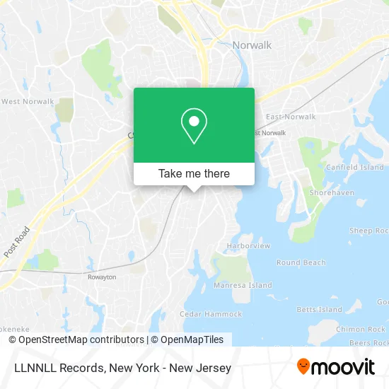
See LLNNLL Records, Norwalk, on the map
Public Transit to LLNNLL Records in Norwalk
Wondering how to get to LLNNLL Records in Norwalk? Moovit helps you find the best way to get to LLNNLL Records with step-by-step directions from the nearest public transit station.
Moovit provides free maps and live directions to help you navigate through your city. View schedules, routes, timetables, and find out how long does it take to get to LLNNLL Records in real time.
Looking for the nearest stop or station to LLNNLL Records? Check out this list of stops closest to your destination: South Main & Grove; Burritt & Woodward; Lowe & Mlk S; South Norwalk.
Bus: 2, 3, 341, 5.Train: 3, 5.
Want to see if there’s another route that gets you there at an earlier time? Moovit helps you find alternative routes or times. Get directions from and directions to LLNNLL Records easily from the Moovit App or Website.
We make riding to LLNNLL Records easy, which is why over 1.5 million users, including users in Norwalk, trust Moovit as the best app for public transit. You don’t need to download an individual bus app or train app, Moovit is your all-in-one transit app that helps you find the best bus time or train time available.
For information on prices of bus and train, costs and ride fares to LLNNLL Records, please check the Moovit app.
Use the app to navigate to popular places including to the airport, hospital, stadium, grocery store, mall, coffee shop, school, college, and university.
LLNNLL Records Address: 10 Olean St Norwalk, CT 06854 street in Norwalk
- Saints' Temple Studios: Recording, Production, Mixdown & Mastering,
- Llnnll Records,
- First Choice Turf Supply Llc,
- Spacecat Brewing Company,
- The Mariner & the Muse,
- Art Monster Studio,
- High Ridge Hydroponics Urban Farm,
- Coop Italian Food North America,
- Big East Labs,
- Norwalk Community Health Center,
- Faith Lighthouse Restoration Ministry,
- Open Doors,
- Jose,
- Norwalk New and Used Tires,
- Dbi Development,
- Crespo Liquors,
- Norwalk Church Of God,
- Connecticut Materials Testing Lab, Inc.,
- Western Union,
- Beth Israel Synagogue (Norwalk, Connecticut)
Places Near LLNNLL Records (Norwalk)
- Mountainside Hospital, Glen Ridge,
- Katz's Deli, Manhattan,
- Hudson Yards, Manhattan,
- 26 Federal Plaza, Manhattan,
- SoHo, Manhattan,
- 911 Memorial, Manhattan,
- San Gennaro Feast, Manhattan,
- 1 Police Plaza, Manhattan,
- 3 Stone St, Manhattan,
- 111 Centre New York City Supreme Court, Manhattan,
- Pier 83, Manhattan,
- qqqq, Manhattan,
- Chinatown, Manhattan,
- Rockefeller Center, Manhattan,
- Queens Center Mall, Queens,
- Times Square, Manhattan,
- Bellevue Hospital, Manhattan,
- Wall Street, Manhattan,
- 376 Hudson Street, Manhattan,
- 66 John Street, Manhattan
How to get to popular places in New York - New Jersey with public transit
Get around Norwalk by public transit!
Traveling around Norwalk has never been so easy. See step by step directions as you travel to any attraction, street or major public transit station. View bus and train schedules, arrival times, service alerts and detailed routes on a map, so you know exactly how to get to anywhere in Norwalk.
When traveling to any destination around Norwalk use Moovit's Live Directions with Get Off Notifications to know exactly where and how far to walk, how long to wait for your line, and how many stops are left. Moovit will alert you when it's time to get off — no need to constantly re-check whether yours is the next stop.
Wondering how to use public transit in Norwalk or how to pay for public transit in Norwalk? Moovit public transit app can help you navigate your way with public transit easily, and at minimum cost. It includes public transit fees, ticket prices, and costs. Looking for a map of Norwalk public transit lines? Moovit public transit app shows all public transit maps in Norwalk with all Bus, Train, Subway, Light Rail, Ferry and Cable Car routes and stops on an interactive map.
New York - New Jersey has 6 transit type(s), including: Bus, Train, Subway, Light Rail, Ferry and Cable Car, operated by several transit agencies, including MTA Subway, Metro-North Railroad, LIRR, PATH, MTA New York City Transit - Express routes, MTA Bus, NJ Transit, NYC Ferry, NICE bus, Bee-Line Bus, NJ Transit Rail, Norwalk Transit District, Hartford Line, River Valley Transit and HART