How to get to La Chilanguita by bus?
Click on the bus route to see step by step directions with maps, line arrival times and updated time schedules.
From Centro de tecnología Educativa UMBRAL, Aguascalientes
48 minFrom Chichimeco, Aguascalientes
42 minFrom Colegio Marista, Aguascalientes
41 minFrom Sat, Aguascalientes
42 minFrom Funeraria Los Encinos, Aguascalientes
41 minFrom Chichimeco 119, Aguascalientes
42 minFrom Finanzas, Aguascalientes
44 minFrom Central De Autobuses, Aguascalientes
47 minFrom Fracc. Municipio Libre, Aguascalientes
53 minFrom Funeraria Hernández, Aguascalientes
60 min
Bus stops near La Chilanguita in Aguascalientes
Bus lines to La Chilanguita in Aguascalientes
What are the closest stations to La Chilanguita?
The closest stations to La Chilanguita are:
- Terminal Chicahuales is 20 meters away, 1 min walk.
- Circunvalación, 107 is 808 meters away, 11 min walk.
Which bus line stops near La Chilanguita?
RUTA 28 (Jesús María)
What’s the nearest bus station to La Chilanguita in Aguascalientes?
The nearest bus station to La Chilanguita in Aguascalientes is Terminal Chicahuales. It’s a 1 min walk away.
What time is the first bus to La Chilanguita in Aguascalientes?
The RUTA 50 is the first bus that goes to La Chilanguita in Aguascalientes. It stops nearby at 5:45 AM.
What time is the last bus to La Chilanguita in Aguascalientes?
The RUTA 50 is the last bus that goes to La Chilanguita in Aguascalientes. It stops nearby at 10:54 PM.
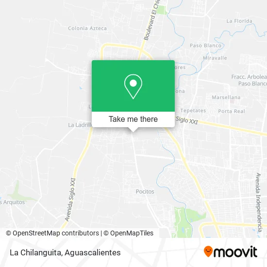
See La Chilanguita, Aguascalientes, on the map
Public Transit to La Chilanguita in Aguascalientes
Wondering how to get to La Chilanguita in Aguascalientes? Moovit helps you find the best way to get to La Chilanguita with step-by-step directions from the nearest public transit station.
Moovit provides free maps and live directions to help you navigate through your city. View schedules, routes, timetables, and find out how long does it take to get to La Chilanguita in real time.
Looking for the nearest stop or station to La Chilanguita? Check out this list of stops closest to your destination: Terminal Chicahuales; Circunvalación.
Bus: RUTA 28, RUTA 50, RUTA 50B.
Want to see if there’s another route that gets you there at an earlier time? Moovit helps you find alternative routes or times. Get directions from and directions to La Chilanguita easily from the Moovit App or Website.
We make riding to La Chilanguita easy, which is why over 1.5 million users, including users in Aguascalientes, trust Moovit as the best app for public transit. You don’t need to download an individual bus app or train app, Moovit is your all-in-one transit app that helps you find the best bus time or train time available.
For information on prices of bus, costs and ride fares to La Chilanguita, please check the Moovit app.
Use the app to navigate to popular places including to the airport, hospital, stadium, grocery store, mall, coffee shop, school, college, and university.
La Chilanguita Address: Calle Quiriguá 1108, Lomas de Jesús María, 20925 Jesús María, Aguascalientes street in Aguascalientes
- Tiendas 3B,
- Champoton I Bjx,
- Grupo Sm Equipos contra Incendio,
- Escuela de Futbol Pro Sport Center,
- Fracc. Colinas del Sol,
- Fracc. Lomas de Jesús María,
- Kines,
- Fraccionamiento Puerta Grande Residencial,
- Fracc. Puerta Grande Residencial,
- Campestre Yalta residencial,
- Abada Residencial,
- Xochicalco,
- Parque,
- Fraccionamiento Misantla,
- Yalta Campestre,
- Taiyari,
- Preparatoria VIP Virtual Innova Preparatoria,
- Colegio Greenfield,
- Abarrotes Hernandez,
- Almacen de Metales Caballero
Places Near La Chilanguita (Aguascalientes)
- Centro, Aguascalientes,
- Imss Clinica 1, Aguascalientes,
- Centro Comercial Altaria, Aguascalientes,
- Aeropuerto de Aguascalientes S.A. de C.V., Aguascalientes,
- Terminal De Combis, Aguascalientes,
- Jesús María, Aguascalientes,
- Isla San Marcos, Aguascalientes,
- Hospital Imss No. 3, Aguascalientes,
- Universidad Autónoma de Aguascalientes, Aguascalientes,
- Ciudad industrial, Aguascalientes,
- clinica 3 uaa, Aguascalientes,
- Parque Las Tres Centurias, Aguascalientes,
- ESPACIOS, Aguascalientes,
- Villasuncion, Aguascalientes,
- Nuevo Hospital Hidalgo, Aguascalientes,
- La Isla San Marcos, Aguascalientes,
- Villas de Nuestra Señora de la Asunción, Aguascalientes,
- Agropecuario, Aguascalientes,
- Blvd. Luis Donaldo Colosio, Aguascalientes,
- Central De Autobuses, Aguascalientes
How to get to popular places in Aguascalientes with public transit
Get around Aguascalientes by public transit!
Traveling around Aguascalientes has never been so easy. See step by step directions as you travel to any attraction, street or major public transit station. View bus and train schedules, arrival times, service alerts and detailed routes on a map, so you know exactly how to get to anywhere in Aguascalientes.
When traveling to any destination around Aguascalientes use Moovit's Live Directions with Get Off Notifications to know exactly where and how far to walk, how long to wait for your line, and how many stops are left. Moovit will alert you when it's time to get off — no need to constantly re-check whether yours is the next stop.
Wondering how to use public transit in Aguascalientes or how to pay for public transit in Aguascalientes? Moovit public transit app can help you navigate your way with public transit easily, and at minimum cost. It includes public transit fees, ticket prices, and costs. Looking for a map of Aguascalientes public transit lines? Moovit public transit app shows all public transit maps in Aguascalientes with all bus routes and stops on an interactive map.
Aguascalientes has 1 transit type(s), including: bus, operated by several transit agencies, including Coordinación General de Movilidad