How to get to La Chulapa by bus?
Click on the bus route to see step by step directions with maps, line arrival times and updated time schedules.
From Hotel Ana Maria, Granada
39 minFrom Facultad de Filosofia y Letras, Granada
62 minFrom CITROËN STELLANTIS&YOU GRANADA, Granada
77 minFrom Polígono de Almanjayar, Granada
47 minFrom Mercadillo de Almanjayar, Granada
61 minFrom Iglesia Virgen De Las Angustias, Granada
25 minFrom Mercadillo del Polígono, Granada
60 minFrom Mercadillo Chana, Granada
54 minFrom Reina Mora, Granada
35 minFrom Estación de tren de Granada, Granada
36 min
Bus stops near La Chulapa in La Zubia
Metro station near La Chulapa in La Zubia
- Andrés Segovia, 7 min walk,VIEW
Bus lines to La Chulapa in La Zubia
- L-178, Rotonda Altos De La Zubia,VIEW
- 174B, Cno. Forestal 2,VIEW
- 175, Tierno Galván - Palacio Congresos,VIEW
- L-174A, Granada. Palacio Congresosii,VIEW
- L-174B, Linea 174b Granada-La Zubia-Ogijares(Circular),VIEW
- L-175I, Linea 175 La Zubia(Laurel De La Reina)-Granada,VIEW
- L-175V, Linea 175 Granada-La Zubia(Laurel De La Reina),VIEW
- L-177 IDA, Linea 177. La Zubia(Campo De Futbol)-Granada,VIEW
- L-177 VTA, Linea 177. Granada-La Zubia(Campo De Futbol),VIEW
- L-275 IDA, Linea 275. Granada-La Zubia-Cumbres Verdes,VIEW
- L-275 VTA, Linea 275. Cumbres Verdes-La Zubia-Granada,VIEW
- 174B, Granada - Zubia - Ogíjares (Circular),VIEW
- 175, Granada - Zubia (L.Reina),VIEW
- 177, Granada - Zubia (C.Fútbol),VIEW
- 275, Granada - Zubia - C.Verdes,VIEW
- 174A, Profesor Tierno Galván 2,VIEW
- 180, Paseo De Los Basilios V,VIEW
What are the closest stations to La Chulapa?
The closest stations to La Chulapa are:
- Garcia Lorca N 14 is 139 meters away, 2 min walk.
- Parque De La Encina is 270 meters away, 4 min walk.
- La Zubia is 279 meters away, 4 min walk.
- El Puente. is 281 meters away, 4 min walk.
- Ayto. La Zubia is 284 meters away, 4 min walk.
- Parque De La Encina V is 294 meters away, 4 min walk.
- Pablo Iglesias is 326 meters away, 5 min walk.
- Andrés Segovia is 495 meters away, 7 min walk.
Which bus lines stop near La Chulapa?
These bus lines stop near La Chulapa: 175, 275, L-175V, L-275 IDA.
What’s the nearest metro station to La Chulapa in La Zubia?
The nearest metro station to La Chulapa in La Zubia is Andrés Segovia. It’s a 7 min walk away.
What’s the nearest bus station to La Chulapa in La Zubia?
The nearest bus station to La Chulapa in La Zubia is Garcia Lorca N 14. It’s a 2 min walk away.
What time is the first metro to La Chulapa in La Zubia?
The 1 is the first metro that goes to La Chulapa in La Zubia. It stops nearby at 6:39 AM.
What time is the last metro to La Chulapa in La Zubia?
The 1 is the last metro that goes to La Chulapa in La Zubia. It stops nearby at 11:42 PM.
What time is the first bus to La Chulapa in La Zubia?
The L-175I is the first bus that goes to La Chulapa in La Zubia. It stops nearby at 8:00 AM.
What time is the last bus to La Chulapa in La Zubia?
The L-175V is the last bus that goes to La Chulapa in La Zubia. It stops nearby at 11:15 PM.
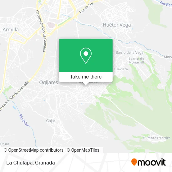
See La Chulapa, La Zubia, on the map
Public Transit to La Chulapa in La Zubia
Wondering how to get to La Chulapa in La Zubia? Moovit helps you find the best way to get to La Chulapa with step-by-step directions from the nearest public transit station.
Moovit provides free maps and live directions to help you navigate through your city. View schedules, routes, timetables, and find out how long does it take to get to La Chulapa in real time.
Looking for the nearest stop or station to La Chulapa? Check out this list of stops closest to your destination: Garcia Lorca N 14; Parque De La Encina; La Zubia; El Puente.; Ayto. La Zubia; Parque De La Encina V; Pablo Iglesias; Andrés Segovia.
Bus: 175, 275, L-175V, L-275 IDA, L-178, 174B, L-174A, L-174B, L-175I, L-177 IDA, L-177 VTA, 174B, 177.Metro: 1.
Want to see if there’s another route that gets you there at an earlier time? Moovit helps you find alternative routes or times. Get directions from and directions to La Chulapa easily from the Moovit App or Website.
We make riding to La Chulapa easy, which is why over 1.5 million users, including users in La Zubia, trust Moovit as the best app for public transit. You don’t need to download an individual bus app or train app, Moovit is your all-in-one transit app that helps you find the best bus time or train time available.
For information on prices of bus and metro, costs and ride fares to La Chulapa, please check the Moovit app.
Use the app to navigate to popular places including to the airport, hospital, stadium, grocery store, mall, coffee shop, school, college, and university.
La Chulapa Address: Calle Empedrado Alto, 2 18140 La Zubia street in La Zubia
- Júpiter Fitness,
- Paneles y Estruccturas Termicos,
- Hair Studio by Nerea,
- La Tienda D La Esquina,
- Vilchez Rienda,
- Kaiwixxx,
- El Tocador de Natalia,
- Café Bar Sabores - La Zubia - Cafetería - Restaurante,
- Instalaciones La Zubia,
- Chino MEGAZUBIA,
- Ilnoco Granada 2007,
- Productos Mavi,
- La Salud,
- Gestión Inmobiliaria Llamezi,
- Cafeteria Sol y Luna,
- Bar Pescaito Casa Juan,
- Joyería Bazan,
- Muveni,
- Farmacia del Moral,
- Zapatería Baltanas
Places Near La Chulapa (La Zubia)
- Palacio de Congresos de Granada, Granada,
- Albaicín, Granada,
- Palacio De Congresos, Granada,
- Centro Comercial Nevada Shopping, Armilla,
- PTS, Granada,
- Hospital de trauma, Granada,
- Hospital Vithas, Granada,
- Carmen De Los Mártires, Granada,
- Nevada Shopping, Armilla,
- Centro Comercial Kinépolis, Pulianas,
- Serrallo Plaza, Granada,
- Estación De Autobuses De Granada, Granada,
- Plaza de Toros, Granada,
- Renfe Estación de Tren, Granada,
- Auditorio Manuel de Falla, Granada,
- La Zubia, La Zubia,
- La Chana, Granada,
- Jefatura Provincial De Tráfico, Granada,
- Hospital Hla Inmaculada, Granada,
- Estadio Nuevo Los Carmenes, Granada
How to get to popular places in Granada with public transit
Get around La Zubia by public transit!
Traveling around La Zubia has never been so easy. See step by step directions as you travel to any attraction, street or major public transit station. View bus and train schedules, arrival times, service alerts and detailed routes on a map, so you know exactly how to get to anywhere in La Zubia.
When traveling to any destination around La Zubia use Moovit's Live Directions with Get Off Notifications to know exactly where and how far to walk, how long to wait for your line, and how many stops are left. Moovit will alert you when it's time to get off — no need to constantly re-check whether yours is the next stop.
Wondering how to use public transit in La Zubia or how to pay for public transit in La Zubia? Moovit public transit app can help you navigate your way with public transit easily, and at minimum cost. It includes public transit fees, ticket prices, and costs. Looking for a map of La Zubia public transit lines? Moovit public transit app shows all public transit maps in La Zubia with all Bus, Train and Metro routes and stops on an interactive map.
Granada has 3 transit type(s), including: Bus, Train and Metro, operated by several transit agencies, including Metro de Granada, Bus urbano Granada, TranspRober, Consorcio de Transporte Metropolitano de Granada, ALSA, Grupo Fajardo - Motril, Grupo Fajardo - Almuñécar, Grupo Fajardo - Salobreña, Paco Campos and Renfe