How to get to La Poderina by bus?
Click on the bus route to see step by step directions with maps, line arrival times and updated time schedules.
From Prada - Space Outlet, Arezzo
126 minFrom Rapolano Terme, Rapolano Terme
210 minFrom San Donato-Emergency Room, Arezzo
30 minFrom Medici Fortress, Arezzo
55 minFrom Fratta Hospital, Arezzo
161 minFrom Arezzo Court, Arezzo
65 minFrom Florida Aquapark Swimming Pool, Arezzo
125 minFrom Gruccia Hospital, Montevarchi
574 minFrom Ipercoop, Arezzo
65 minFrom Antica Querciolaia Thermal Baths, Rapolano Terme
216 min
Train station near La Poderina in Arezzo
- Chiari Street, 54 min walk,VIEW
Bus lines to La Poderina in Arezzo
What are the closest stations to La Poderina?
The closest stations to La Poderina are:
- Ruscello 28 is 427 meters away, 6 min walk.
- San Giuliano No. 7 is 472 meters away, 7 min walk.
- Chiari Street is 4202 meters away, 54 min walk.
Which bus lines stop near La Poderina?
These bus lines stop near La Poderina: 21S, F, I.
What’s the nearest bus station to La Poderina in Arezzo?
The nearest bus station to La Poderina in Arezzo is Ruscello 28. It’s a 6 min walk away.
What time is the first bus to La Poderina in Arezzo?
The F is the first bus that goes to La Poderina in Arezzo. It stops nearby at 9:26 AM.
What time is the last bus to La Poderina in Arezzo?
The F is the last bus that goes to La Poderina in Arezzo. It stops nearby at 8:11 PM.
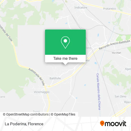
See La Poderina, Arezzo, on the map
Public Transit to La Poderina in Arezzo
Wondering how to get to La Poderina in Arezzo? Moovit helps you find the best way to get to La Poderina with step-by-step directions from the nearest public transit station.
Moovit provides free maps and live directions to help you navigate through your city. View schedules, routes, timetables, and find out how long does it take to get to La Poderina in real time.
Looking for the nearest stop or station to La Poderina? Check out this list of stops closest to your destination: Ruscello 28; San Giuliano No. 7; Chiari Street.
Bus: 21S, F, I, LS1N, LS1N.Train: RL.
Want to see if there’s another route that gets you there at an earlier time? Moovit helps you find alternative routes or times. Get directions from and directions to La Poderina easily from the Moovit App or Website.
We make riding to La Poderina easy, which is why over 1.5 million users, including users in Arezzo, trust Moovit as the best app for public transit. You don’t need to download an individual bus app or train app, Moovit is your all-in-one transit app that helps you find the best bus time or train time available.
For information on prices of bus and train, costs and ride fares to La Poderina, please check the Moovit app.
Use the app to navigate to popular places including to the airport, hospital, stadium, grocery store, mall, coffee shop, school, college, and university.
La Poderina Address: Località Ruscello, 100 52100 Arezzo street in Arezzo
- The Ginestra,
- Le Ginestre Camping,
- Ocio Festival in Ruscello,
- Le Ginestre Village,
- Rossella Menci,
- La Bottegaccia dal Randello,
- Arimak,
- Battifolle,
- Paggetti Luigi & Sons,
- Mamalù Tavola Calda,
- Le Ginestre Camping Arezzo Tuscany,
- Skydive Toscana,
- BEYFIN,
- Rosa Moretti Kindergarten,
- Innocenti Spider and Coupe Club,
- Hotel Il Gentiluomo,
- Ser Gian,
- Battifolle Sports Club,
- Villa Mezzacollina,
- Esso
Places Near La Poderina (Arezzo)
- Visarno Hippodrome, Florence,
- OOO, Florence,
- IKEA Florence, Sesto Fiorentino,
- Torregalli Hospital Scandicci *, Scandicci,
- Visarno Arena, Florence,
- Field of Mars, Florence,
- Nelson Mandela Forum, Florence,
- Santa Maria Novella Station, Florence,
- Santa Maria Nuova Hospital, Florence,
- Mandela Forum (Nelson Mandela Forum), Florence,
- Verdi Theater, Florence,
- Michelangelo Square, Florence,
- Piero Palagi Hospital Facility-Florence, Florence,
- Cascine Park, Florence,
- Asmana, Campi Bisenzio,
- Artemio Franchi Municipal Stadium, Florence,
- Tobacco Manufacture, Florence,
- I Gigli, Campi Bisenzio,
- Campi Bisenzio, Campi Bisenzio,
- Michelangelo Square, Florence
How to get to popular places in Florence with public transit
Get around Arezzo by public transit!
Traveling around Arezzo has never been so easy. See step by step directions as you travel to any attraction, street or major public transit station. View bus and train schedules, arrival times, service alerts and detailed routes on a map, so you know exactly how to get to anywhere in Arezzo.
When traveling to any destination around Arezzo use Moovit's Live Directions with Get Off Notifications to know exactly where and how far to walk, how long to wait for your line, and how many stops are left. Moovit will alert you when it's time to get off — no need to constantly re-check whether yours is the next stop.
Wondering how to use public transit in Arezzo or how to pay for public transit in Arezzo? Moovit public transit app can help you navigate your way with public transit easily, and at minimum cost. It includes public transit fees, ticket prices, and costs. Looking for a map of Arezzo public transit lines? Moovit public transit app shows all public transit maps in Arezzo with all Bus, Train, Light Rail, Ferry and Funicular routes and stops on an interactive map.
Florence has 5 transit type(s), including: Bus, Train, Light Rail, Ferry and Funicular, operated by several transit agencies, including Florence Urban - Tuscan Bus Lines, GEST, Florence and Province - Tuscan Bus Lines, Tuscan Bus Lines, Livorno and Province - Tuscan Bus Lines, Arezzo, Florence and Provinces - Tuscan Bus Lines, Prato and Province - Tuscan Bus Lines, Lucca and Province - Tuscan Bus Lines, Massa, Carrara and Province - Tuscan Bus Lines, Pisa and Province - Tuscan Bus Lines, Grosseto, Siena and Provinces - Tuscan Bus Lines, Arezzo, Siena and Provinces - Tuscan Bus Lines, Pistoia and Province - Tuscan Bus Lines, Siena and Province - Tuscan Bus Lines and Arezzo and Province - Tuscan Bus Lines