Directions to Labcorp (Augusta County) with public transportation
The following transit lines have routes that pass near Labcorp
 Bus: AFTON EXPRESS, STUARTS DRAFT LINK.
How to get to Labcorp by bus?
Click on the bus route to see step by step directions with maps, line arrival times and updated time schedules.
Bus stops near Labcorp in Augusta County
Bus lines to Labcorp in Augusta County
What are the closest stations to Labcorp?
The closest stations to Labcorp are:
- Fishersville Park & Ride is 199 yards away, 3 min walk.
- Cho1 - Amazon Fulfilment Center is 282 yards away, 4 min walk.
Which bus lines stop near Labcorp?
These bus lines stop near Labcorp: AFTON EXPRESS, STUARTS DRAFT LINK.
What’s the nearest bus station to Labcorp in Augusta County?
The nearest bus station to Labcorp in Augusta County is Fishersville Park & Ride. It’s a 3 min walk away.
What time is the first bus to Labcorp in Augusta County?
The AFTON EXPRESS is the first bus that goes to Labcorp in Augusta County. It stops nearby at 5:00 AM.
What time is the last bus to Labcorp in Augusta County?
The AFTON EXPRESS is the last bus that goes to Labcorp in Augusta County. It stops nearby at 8:40 PM.
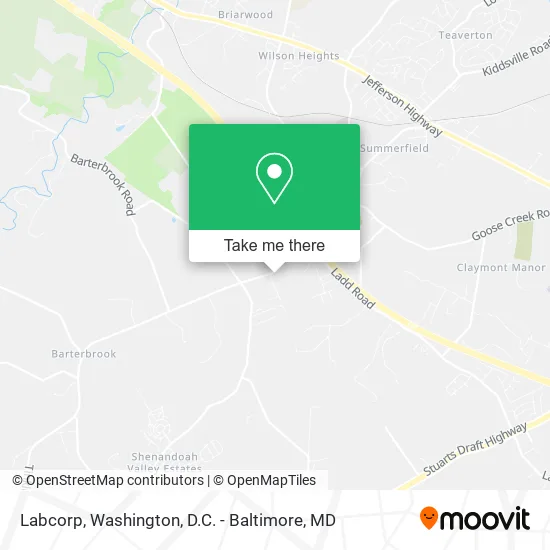
See Labcorp, Augusta County, on the map
Public Transit to Labcorp in Augusta County
Wondering how to get to Labcorp in Augusta County? Moovit helps you find the best way to get to Labcorp with step-by-step directions from the nearest public transit station.
Moovit provides free maps and live directions to help you navigate through your city. View schedules, routes, timetables, and find out how long does it take to get to Labcorp in real time.
Looking for the nearest stop or station to Labcorp? Check out this list of stops closest to your destination: Fishersville Park & Ride; Cho1 - Amazon Fulfilment Center.
Bus: AFTON EXPRESS, STUARTS DRAFT LINK.
Want to see if there’s another route that gets you there at an earlier time? Moovit helps you find alternative routes or times. Get directions from and directions to Labcorp easily from the Moovit App or Website.
We make riding to Labcorp easy, which is why over 1.5 million users, including users in Augusta County, trust Moovit as the best app for public transit. You don’t need to download an individual bus app or train app, Moovit is your all-in-one transit app that helps you find the best bus time or train time available.
For information on prices of bus and train, costs and ride fares to Labcorp, please check the Moovit app.
Use the app to navigate to popular places including to the airport, hospital, stadium, grocery store, mall, coffee shop, school, college, and university.
Labcorp Address: 16 Ivy Ridge Ln Fishersville, VA 22939 street in Augusta County
- Bella Capelli Hair Studio,
- Kevin Miller, D O,
- Tanlines & Nails,
- Fluffy Fannies,
- Edward Jones Investments,
- Augusta Surgery,
- Surge Staffing,
- Crossfit Saw,
- Kaman Industrial Technologies,
- Celebration Station,
- Sidelines Sports Bar & Grill,
- McKibbin William Blake MD,
- Skyline Fog,
- Shenandoah Dermatology,
- Dr. Mary Mather,
- Storage Wise Fishersvi,
- Ivy Ridge Self Storage,
- Old Dominion Freight Line,
- Credit Union 1,
- US Bank
Places Near Labcorp (Augusta County)
- National Mall, Washington,
- Sibley Memorial Hospital, Washington,
- Warner Theatre, Washington,
- Capital One Arena, Washington,
- National Museum of African American History and Culture, Washington,
- Washington DC VA Medical Center, Washington,
- M&T Bank Stadium, Baltimore,
- Museum Of The Bible, Washington,
- Camden Yards, Baltimore,
- Pennsylvania Ave NW (3rd st and pennsylvania), Washington,
- Westfield Montgomery Mall, Montgomery County,
- Amazon Hq2, Arlington County,
- National Zoo, Washington,
- Rock Creek Tennis Center, Washington,
- Marriott Marquis Washington, DC, Washington,
- Georgetown, Washington,
- The Anthem, Washington,
- Basilica of the National Shrine, Washington,
- PG Mall, Prince George's County,
- Washington National Cathedral, Washington
How to get to popular places in Washington, D.C. - Baltimore, MD with public transit
Get around Augusta County by public transit!
Traveling around Augusta County has never been so easy. See step by step directions as you travel to any attraction, street or major public transit station. View bus and train schedules, arrival times, service alerts and detailed routes on a map, so you know exactly how to get to anywhere in Augusta County.
When traveling to any destination around Augusta County use Moovit's Live Directions with Get Off Notifications to know exactly where and how far to walk, how long to wait for your line, and how many stops are left. Moovit will alert you when it's time to get off — no need to constantly re-check whether yours is the next stop.
Wondering how to use public transit in Augusta County or how to pay for public transit in Augusta County? Moovit public transit app can help you navigate your way with public transit easily, and at minimum cost. It includes public transit fees, ticket prices, and costs. Looking for a map of Augusta County public transit lines? Moovit public transit app shows all public transit maps in Augusta County with all Bus, Train, Metro, Light Rail and Ferry routes and stops on an interactive map.
Washington, D.C. - Baltimore, MD has 5 transit type(s), including: Bus, Train, Metro, Light Rail and Ferry, operated by several transit agencies, including WMATA, Montgomery County Ride On, Fairfax Connector, TheBus, PRTC, DASH - Alexandria, Arlington Transit (ART), RTA of Central Maryland, MDOT MTA, MDOT MTA Light RailLink, MDOT MTA Commuter Bus, MDOT MTA Local Bus, FXBGO!, Virginia Railway Express (VRE) and MARC