Directions to Lafayette Express (Roanoke) with public transportation
The following transit lines have routes that pass near Lafayette Express
 Bus: 85, GREYHOUND US0600, 86, 91, 92.
- Train: NORTHEAST REGIONAL.
How to get to Lafayette Express by bus?
Click on the bus route to see step by step directions with maps, line arrival times and updated time schedules.
Bus stops near Lafayette Express in Roanoke
Train station near Lafayette Express in Roanoke
- Roanoke, 9 min walk,VIEW
Bus lines to Lafayette Express in Roanoke
What are the closest stations to Lafayette Express?
The closest stations to Lafayette Express are:
- Lafayette Nb at New York is 30 yards away, 1 min walk.
- Lafayette Sb at New York is 57 yards away, 1 min walk.
- Melrose Wb at Lafayette (Opposite Goodwill) is 400 yards away, 5 min walk.
- Melrose Eb at Lafayette (Goodwill) is 400 yards away, 5 min walk.
- Roanoke is 691 yards away, 9 min walk.
Which bus lines stop near Lafayette Express?
These bus lines stop near Lafayette Express: 85, GREYHOUND US0600.
What’s the nearest train station to Lafayette Express in Roanoke?
The nearest train station to Lafayette Express in Roanoke is Roanoke. It’s a 9 min walk away.
What’s the nearest bus station to Lafayette Express in Roanoke?
The nearest bus stations to Lafayette Express in Roanoke are Lafayette Nb at New York and Lafayette Sb at New York. The closest one is a 1 min walk away.
What time is the first train to Lafayette Express in Roanoke?
The NORTHEAST REGIONAL is the first train that goes to Lafayette Express in Roanoke. It stops nearby at 9:35 AM.
What time is the last train to Lafayette Express in Roanoke?
The NORTHEAST REGIONAL is the last train that goes to Lafayette Express in Roanoke. It stops nearby at 10:13 PM.
What time is the first bus to Lafayette Express in Roanoke?
The 86 is the first bus that goes to Lafayette Express in Roanoke. It stops nearby at 5:55 AM.
What time is the last bus to Lafayette Express in Roanoke?
The 85 is the last bus that goes to Lafayette Express in Roanoke. It stops nearby at 8:31 PM.
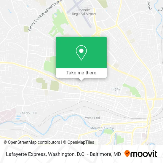
See Lafayette Express, Roanoke, on the map
Public Transit to Lafayette Express in Roanoke
Wondering how to get to Lafayette Express in Roanoke? Moovit helps you find the best way to get to Lafayette Express with step-by-step directions from the nearest public transit station.
Moovit provides free maps and live directions to help you navigate through your city. View schedules, routes, timetables, and find out how long does it take to get to Lafayette Express in real time.
Looking for the nearest stop or station to Lafayette Express? Check out this list of stops closest to your destination: Lafayette Nb at New York; Lafayette Sb at New York; Melrose Wb at Lafayette (Opposite Goodwill); Melrose Eb at Lafayette (Goodwill); Roanoke.
Bus: 85, GREYHOUND US0600, 86, 91, 92.Train: NORTHEAST REGIONAL.
Want to see if there’s another route that gets you there at an earlier time? Moovit helps you find alternative routes or times. Get directions from and directions to Lafayette Express easily from the Moovit App or Website.
We make riding to Lafayette Express easy, which is why over 1.5 million users, including users in Roanoke, trust Moovit as the best app for public transit. You don’t need to download an individual bus app or train app, Moovit is your all-in-one transit app that helps you find the best bus time or train time available.
For information on prices of bus, metro and train, costs and ride fares to Lafayette Express, please check the Moovit app.
Use the app to navigate to popular places including to the airport, hospital, stadium, grocery store, mall, coffee shop, school, college, and university.
Lafayette Express Address: 1035 Lafayette Blvd NW Roanoke, VA 24017 street in Roanoke
- Lafayette Blvd NW Building 1118,
- Villa Heights Baptist Church,
- Lashay's Hair Design,
- Church Of the Living God,
- Agape Home Health Care,
- Unique Unlimited Catering,
- Crescent St NW Building 1202,
- Phillips Pub,
- Parker & Poindexter Plastering,
- Villa Heights Recreation Center,
- USPS Collection Box - Blue Box,
- 757 Grill Cafe,
- Haley Law Firm,
- White William Sr,
- R&A Landscapes and Design,
- Mojai Boutique,
- The Gathering Place,
- First Impressions Hair Designs,
- S & B Tax Service and Bookkeeping,
- Villa Heights Park
Places Near Lafayette Express (Roanoke)
- Pennsylvania Ave NW (3rd st and pennsylvania), Washington,
- PG Mall, Prince George's County,
- Camden Yards, Baltimore,
- National Zoo, Washington,
- Washington National Cathedral, Washington,
- Rock Creek Tennis Center, Washington,
- National Theatre, Washington,
- Museum Of The Bible, Washington,
- Westfield Montgomery Mall, Montgomery County,
- Georgetown, Washington,
- Capital One Arena, Washington,
- Warner Theatre, Washington,
- Amazon Hq2, Arlington County,
- Washington DC VA Medical Center, Washington,
- National Museum of African American History and Culture, Washington,
- Marriott Marquis Washington, DC, Washington,
- M&T Bank Stadium, Baltimore,
- Sibley Memorial Hospital, Washington,
- Basilica of the National Shrine, Washington,
- The Anthem, Washington
How to get to popular places in Washington, D.C. - Baltimore, MD with public transit
Get around Roanoke by public transit!
Traveling around Roanoke has never been so easy. See step by step directions as you travel to any attraction, street or major public transit station. View bus and train schedules, arrival times, service alerts and detailed routes on a map, so you know exactly how to get to anywhere in Roanoke.
When traveling to any destination around Roanoke use Moovit's Live Directions with Get Off Notifications to know exactly where and how far to walk, how long to wait for your line, and how many stops are left. Moovit will alert you when it's time to get off — no need to constantly re-check whether yours is the next stop.
Wondering how to use public transit in Roanoke or how to pay for public transit in Roanoke? Moovit public transit app can help you navigate your way with public transit easily, and at minimum cost. It includes public transit fees, ticket prices, and costs. Looking for a map of Roanoke public transit lines? Moovit public transit app shows all public transit maps in Roanoke with all Bus, Train, Metro, Light Rail and Ferry routes and stops on an interactive map.
Washington, D.C. - Baltimore, MD has 5 transit type(s), including: Bus, Train, Metro, Light Rail and Ferry, operated by several transit agencies, including WMATA, Montgomery County Ride On, Fairfax Connector, TheBus, PRTC, DASH - Alexandria, Arlington Transit (ART), RTA of Central Maryland, MDOT MTA, MDOT MTA Light RailLink, MDOT MTA Commuter Bus, MDOT MTA Local Bus, FXBGO!, Virginia Railway Express (VRE) and MARC