Lasalle station - Saturday schedule
| Line | Direction | Time |
|---|---|---|
| UP-NW | Chicago OTC | 5:05 AM |
| UP-NW | Harvard/McHenry | 5:13 AM |
| UP-NW | Chicago OTC | 5:20 AM |
| UP-NW | Harvard/McHenry | 5:28 AM |
| UP-NW | Chicago OTC | 5:35 AM |
| UP-NW | Harvard/McHenry | 5:43 AM |
| UP-NW | Chicago OTC | 5:50 AM |
| UP-NW | Harvard/McHenry | 5:58 AM |
| UP-NW | Chicago OTC | 6:05 AM |
| UP-NW | Harvard/McHenry | 6:13 AM |
| UP-NW | Chicago OTC | 6:15 AM |
| UP-NW | Harvard/McHenry | 6:23 AM |
| UP-NW | Chicago OTC | 6:25 AM |
| UP-NW | Harvard/McHenry | 6:33 AM |
| UP-NW | Chicago OTC | 6:35 AM |
| UP-NW | Harvard/McHenry | 6:43 AM |
| UP-NW | Chicago OTC | 6:45 AM |
| UP-NW | Harvard/McHenry | 6:53 AM |
| UP-NW | Chicago OTC | 6:55 AM |
| UP-NW | Harvard/McHenry | 7:03 AM |
| UP-NW | Chicago OTC | 7:05 AM |
| UP-NW | Harvard/McHenry | 7:13 AM |
| UP-NW | Chicago OTC | 7:15 AM |
| UP-NW | Harvard/McHenry | 7:23 AM |
| UP-NW | Chicago OTC | 7:25 AM |
Directions to Lasalle station (Chicago) with public transit
The following transit lines have routes that pass near Lasalle
 Bus: 126, 146, 22, 24, 36.
- Train: BNSF, MD-N, ME, UP-N, RI.
- Chicago 'L': BLUE LINE, BROWN LINE, PINK LINE, PURPLE LINE, RED LINE.
How to get to Lasalle station by bus?
Click on the bus route to see step by step directions with maps, line arrival times and updated time schedules.
How to get to Lasalle station by train?
Click on the train route to see step by step directions with maps, line arrival times and updated time schedules.
How to get to Lasalle station by Chicago 'L'?
Click on the Chicago 'L' route to see step by step directions with maps, line arrival times and updated time schedules.
Bus stops near Lasalle stop in Chicago
- Clark & Harrison (South), 2 min walk,
- Clark & Van Buren (South), 2 min walk,
- Dearborn St & Ida B. Wells Dr (Drop Off Only), 3 min walk,
- Dearborn & Ida B Wells Drive (North), 3 min walk,
- 350 S. Clark Street (Chicago), 3 min walk,
- Jackson & Financial Place (East), 5 min walk,
- Van Buren & Franklin (West), 6 min walk,
Train stations near Lasalle station in Chicago
- Lasalle Street, 2 min walk,
Chicago 'L' stations near Lasalle station in Chicago
- Lasalle/Van Buren, 2 min walk,
- Jackson-Blue, 5 min walk,
Bus lines to Lasalle station in Chicago
- 24, Racine & 87th Street Terminal (West),
- 36, Devon & Clark (West),
- 22, Paulina & Howard Terminal,
- 130, Solidarity Dr & Planetarium (East),
- 850, North Bolingbrook – East Loop Express,
- 851, South Bolingbrook – East Loop Express,
- 855, Plainfield-East Loop Express,
- 62, State & Marina City (South),
- CHICAGO DASH, Chicago,
- 1, Bronzeville/Union Station,
- 7, Harrison,
- 28, Stony Island,
- 126, Jackson,
- 151, Sheridan,
- 37, Clinton Blue Line Station (South),
What are the closest stations to Lasalle?
The closest stations to Lasalle are:
- Clark & Harrison (South) stop is 114 yards away, 2 min walk.
- Clark & Van Buren (South) stop is 120 yards away, 2 min walk.
- Lasalle Street station is 150 yards away, 2 min walk.
- Lasalle/Van Buren station is 166 yards away, 2 min walk.
- Dearborn St & Ida B. Wells Dr (Drop Off Only) stop is 188 yards away, 3 min walk.
- Dearborn & Ida B Wells Drive (North) stop is 191 yards away, 3 min walk.
- 350 S. Clark Street (Chicago) stop is 214 yards away, 3 min walk.
- Jackson & Financial Place (East) stop is 397 yards away, 5 min walk.
- Jackson-Blue station is 429 yards away, 5 min walk.
- Van Buren & Franklin (West) stop is 501 yards away, 6 min walk.
Which bus lines stop near Lasalle?
These bus lines stop near Lasalle: 126, 146, 22, 24, 36, 6.
Which train lines stop near Lasalle?
These train lines stop near Lasalle: BNSF, MD-N, ME, UP-N.
Which Chicago 'L' lines stop near Lasalle?
These Chicago 'L' lines stop near Lasalle: BLUE LINE, BROWN LINE, PINK LINE, PURPLE LINE, RED LINE.
What’s the nearest Chicago 'L' station to Lasalle in Chicago?
The nearest Chicago 'L' station to Lasalle in Chicago is Lasalle/Van Buren. It’s a 2 min walk away.
What’s the nearest train station to Lasalle in Chicago?
The nearest train station to Lasalle in Chicago is Lasalle Street. It’s a 2 min walk away.
What’s the nearest bus station to Lasalle in Chicago?
The nearest bus stations to Lasalle in Chicago are Clark & Harrison (South) and Clark & Van Buren (South). The closest one is a 2 min walk away.
What time is the first Chicago 'L' to Lasalle in Chicago?
The BLUE LINE is the first Chicago 'L' that goes to Lasalle in Chicago. It stops nearby at 3:07 AM.
What time is the last Chicago 'L' to Lasalle in Chicago?
The BLUE LINE is the last Chicago 'L' that goes to Lasalle in Chicago. It stops nearby at 3:32 AM.
What time is the first train to Lasalle in Chicago?
The RI is the first train that goes to Lasalle in Chicago. It stops nearby at 5:32 AM.
What time is the last train to Lasalle in Chicago?
The RI is the last train that goes to Lasalle in Chicago. It stops nearby at 12:25 AM.
What time is the first bus to Lasalle in Chicago?
The 22 is the first bus that goes to Lasalle in Chicago. It stops nearby at 3:00 AM.
What time is the last bus to Lasalle in Chicago?
The 22 is the last bus that goes to Lasalle in Chicago. It stops nearby at 3:23 AM.
Lasalle station
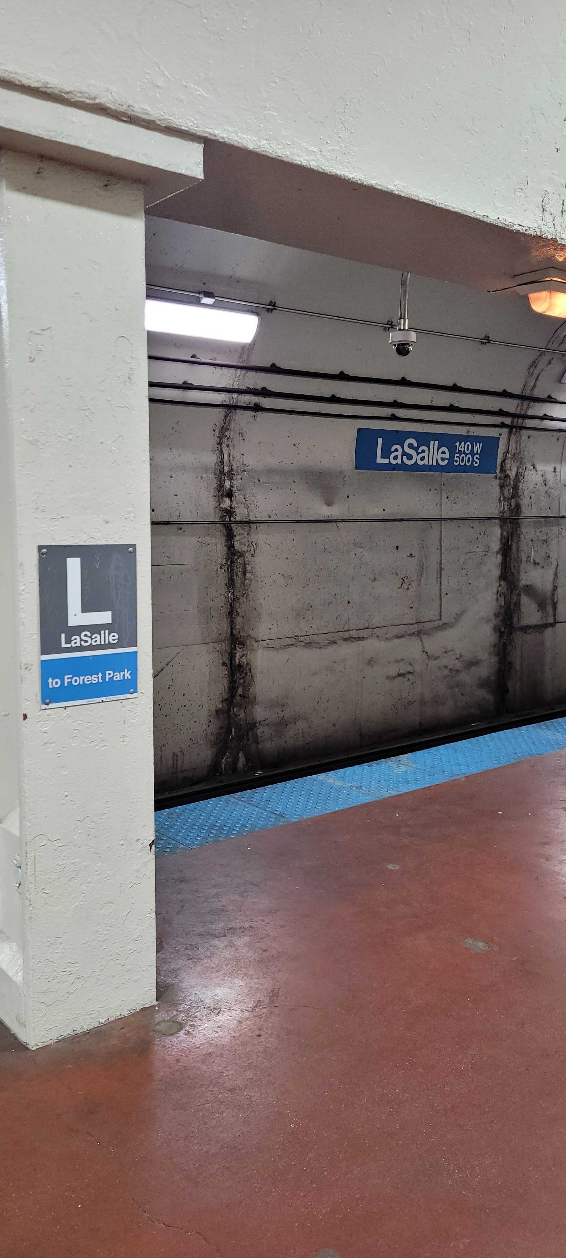 Taken by Anonymous
See Lasalle station, Chicago, on the map
Public transit to Lasalle station in Chicago
Looking for directions to Lasalle in Chicago, United States?
Download the Moovit App to find the current schedule and step-by-step directions for Bus, Chicago 'L' or Train routes that pass through Lasalle.
Looking for the nearest stops closest to Lasalle ? Check out this list of closest stops to your destination: Clark & Harrison (South); Clark & Van Buren (South); Lasalle Street; Lasalle/Van Buren; Dearborn St & Ida B. Wells Dr (Drop Off Only); Dearborn & Ida B Wells Drive (North); 350 S. Clark Street (Chicago); Jackson & Financial Place (East); Jackson-Blue; Van Buren & Franklin (West).
Bus: 126, 146, 22, 24, 36, 6, 130, 850, 851, 855.Train: BNSF, MD-N, ME, UP-N, RI.Chicago 'L': BLUE LINE, BROWN LINE, PINK LINE, PURPLE LINE, RED LINE, ORANGE LINE.
We make riding on public transit to Lasalle easy, which is why over 1.7 billion users, including users in Chicago trust Moovit as the best app for public transit.
Use the app to navigate to popular places including to the airport, hospital, stadium, grocery store, mall, coffee shop, school, college, and university.
The station has the following entrances: W. Congress (Btwn Clark & La Salle), W. Congress (Btwn Clark & La Salle), W. Congress (Btwn Clark & La Salle) and W. Congress (Btwn Clark & La Salle)
The first line to this station is UP-NW, at 5:05 AM, and the last line is UP-NW at 4:58 AM.
534 S La Salle St, Central, Chicago, IL, USA
This station serves Metra’s lines
Popular routes from Lasalle station, Chicago
- Clark & Harrison (South),
- Clark & Van Buren (South),
- Dearborn St & Ida B. Wells Dr (Drop Off Only),
- Dearborn & Ida B Wells Drive (North),
- 350 S. Clark Street (Chicago),
- Jackson & Financial Place (East),
- Van Buren & Franklin (West)
Bus stops near Lasalle stop
- Lasalle Street
Train station near Lasalle station
- Lasalle/Van Buren,
- Jackson-Blue
Chicago 'L' stations near Lasalle station
- 95th St & 83rd Ave,
- Stateville Prison,
- Thorndale,
- Halsted St & Vollmer Rd,
- Monroe St & Wabash Ave (Drop Off Only),
- 183rd St & Oak Park Ave,
- 69th Street & Halsted (West),
- Thatcher/Arnold/Metra Station,
- 59th Street & Halsted (West),
- Racine & 71st Street (South),
- Riverside,
- California & Diversey (North),
- Archer & 47th Street (Sw),
- 63rd Street & Kenwood (West),
- Fullerton & Riverfront Mall (1800 W) (West),
- Michigan Ave & Randolph St (Pick Up Only),
- Harlem Ave & Lake St,
- California & Pratt (North),
- Pulaski & Ogden (South),
- Cicero & 55th Street
Popular public transit stations in Chicago
Get around Chicago by public transit!
Traveling around Chicago has never been so easy. See step by step directions as you travel to any attraction, street or major public transit station. View bus and train schedules, arrival times, service alerts and detailed routes on a map, so you know exactly how to get to anywhere in Chicago.
When traveling to any destination around Chicago use Moovit's Live Directions with Get Off Notifications to know exactly where and how far to walk, how long to wait for your line, and how many stops are left. Moovit will alert you when it's time to get off — no need to constantly re-check whether yours is the next stop.
Wondering how to use public transit in Chicago or how to pay for public transit in Chicago? Moovit public transit app can help you navigate your way with public transit easily, and at minimum cost. It includes public transit fees, ticket prices, and costs. Looking for a map of Chicago public transit lines? Moovit public transit app shows all public transit maps in Chicago with all Bus, Train and Chicago 'L' routes and stops on an interactive map.
Chicago has 3 transit type(s), including: Bus, Train and Chicago 'L', operated by several transit agencies, including CTA 'L', Metra, Northern Indiana Commuter Transportation District, CTA, PACE, O'Hare International Airport Shuttle Bus, Gary Public Transit, Amtrak, River Valley Metro, Valpo Transit, DeKalb Public Transit, FlixBus-us, Greyhound-us, Van Galder (Coach USA) and Wisconsin Coach Lines