Lavaca/4th stop - Saturday schedule
| Line | Direction | Time |
|---|---|---|
| 486 | 486 Downtown Nb | 3:28 AM |
| 483 | 483 Downtown Nb | 3:28 AM |
| 486 | 486 Downtown Nb | 3:58 AM |
| 483 | 483 Downtown Nb | 3:58 AM |
| 5 | 5 Techi Center Eb | 6:20 AM |
| 7 | 7 Crestview Station Nb | 6:26 AM |
| 20 | 20 University Of Texas Nb | 6:27 AM |
| 10 | 10 Norwood Transit Center Nb | 6:28 AM |
| 2 | 2 Springdale Nb | 6:29 AM |
| 30 | 30 Northcross Nb | 6:37 AM |
| 5 | 5 Techi Center Eb | 6:50 AM |
| 7 | 7 Crestview Station Nb | 6:56 AM |
| 20 | 20 University Of Texas Nb | 6:57 AM |
| 10 | 10 Norwood Transit Center Nb | 6:58 AM |
| 2 | 2 Springdale Nb | 6:59 AM |
| 7 | 7 Crestview Station Nb | 7:11 AM |
| 30 | 30 Northcross Nb | 7:12 AM |
| 10 | 10 Norwood Transit Center Nb | 7:13 AM |
| 5 | 5 Techi Center Eb | 7:20 AM |
| 7 | 7 Crestview Station Nb | 7:26 AM |
| 20 | 20 University Of Texas Nb | 7:27 AM |
| 10 | 10 Norwood Transit Center Nb | 7:28 AM |
| 2 | 2 Springdale Nb | 7:29 AM |
| 7 | 7 Crestview Station Nb | 7:41 AM |
| 10 | 10 Norwood Transit Center Nb | 7:42 AM |
Directions to Lavaca/4th stop (Austin) with public transit
The following transit lines have routes that pass near Lavaca/4th
 Bus: 1, 10, 2, 30, 7.
How to get to Lavaca/4th stop by bus?
Click on the bus route to see step by step directions with maps, line arrival times and updated time schedules.
Bus stops near Lavaca/4th stop in Austin
- Republic Square Station (Nb), 1 min walk,
- Lavaca/3rd, 2 min walk,
- Guadalupe/4th, 3 min walk,
- 5th/Guadalupe (Republic Square), 4 min walk,
- 178 6th/Colorado, 4 min walk,
- 517 Lavaca/6th, 5 min walk,
- 416 6th/San Antonio, 6 min walk,
Light Rail stations near Lavaca/4th station in Austin
- Downtown Station, 10 min walk,
Bus lines to Lavaca/4th stop in Austin
- 1, 1 Tech Ridge Park & Ride Nb,
- 3, 3 Southpark Meadows Sb,
- 801, 801 Southpark Meadows Sb,
- 803, 803 Westgate Transit Center Sb,
- 1511X, Austin Eastside Bus Plaza,
- 105, 105 Westgate Sb,
- 111, 111 Downtown/University Of Texas Nb,
- 142, 142 Parmer Nb,
- 171, 171 Oak Hill Sb,
- 990, 990 Downtown/University Of Texas Wb,
- 2, 2 Springdale Nb,
- 5, 5 Northcross Wb,
- 7, 7 William Cannon Sb,
- 10, 10 Southpark Meadows Sb,
- 20, 20 Abia Airport Sb,
- 30, 30 Westgate Transit Center Sb,
- 483, 483 Downtown Nb,
- 486, 486 Downtown Nb,
- 4, 4 Mopac Wb,
- 484, 484 Downtown Nb,
What are the closest stations to Lavaca/4th?
The closest stations to Lavaca/4th are:
- Republic Square Station (Nb) is 65 yards away, 1 min walk.
- Lavaca/3rd stop is 118 yards away, 2 min walk.
- Guadalupe/4th stop is 179 yards away, 3 min walk.
- 5th/Guadalupe (Republic Square) stop is 268 yards away, 4 min walk.
- 178 6th/Colorado stop is 276 yards away, 4 min walk.
- 517 Lavaca/6th stop is 355 yards away, 5 min walk.
- 416 6th/San Antonio stop is 430 yards away, 6 min walk.
- Downtown Station is 848 yards away, 10 min walk.
Which bus lines stop near Lavaca/4th?
These bus lines stop near Lavaca/4th: 1, 10, 2, 30, 7, 801, 837.
What’s the nearest light rail station to Lavaca/4th in Austin?
The nearest light rail station to Lavaca/4th in Austin is Downtown Station. It’s a 10 min walk away.
What’s the nearest bus station to Lavaca/4th in Austin?
The nearest bus station to Lavaca/4th in Austin is Republic Square Station (Nb). It’s a 1 min walk away.
What time is the first light rail to Lavaca/4th in Austin?
The 550 is the first light rail that goes to Lavaca/4th in Austin. It stops nearby at 6:39 AM.
What time is the last light rail to Lavaca/4th in Austin?
The 550 is the last light rail that goes to Lavaca/4th in Austin. It stops nearby at 7:25 PM.
What time is the first bus to Lavaca/4th in Austin?
The 486 is the first bus that goes to Lavaca/4th in Austin. It stops nearby at 3:00 AM.
What time is the last bus to Lavaca/4th in Austin?
The 483 is the last bus that goes to Lavaca/4th in Austin. It stops nearby at 3:31 AM.
Lavaca/4th station
 Taken by Alexis W.
See Lavaca/4th stop, Austin, on the map
Public transit to Lavaca/4th stop (ID: 2643) in Austin
Looking for directions to Lavaca/4th in Austin, United States?
Download the Moovit App to find the current schedule and step-by-step directions for Bus routes that pass through Lavaca/4th.
Looking for the nearest stops closest to Lavaca/4th ? Check out this list of closest stops to your destination: Republic Square Station (Nb); Lavaca/3rd; Guadalupe/4th; 5th/Guadalupe (Republic Square); 178 6th/Colorado; 517 Lavaca/6th; 416 6th/San Antonio; Downtown Station.
Bus: 1, 10, 2, 30, 7, 801, 837, 3, 803, 1511X, 105, 111, 142, 171, 990, 5, 20, 4, 484, 481, 485.
We make riding on public transit to Lavaca/4th easy, which is why over 1.7 billion users, including users in Austin trust Moovit as the best app for public transit.
Use the app to navigate to popular places including to the airport, hospital, stadium, grocery store, mall, coffee shop, school, college, and university.
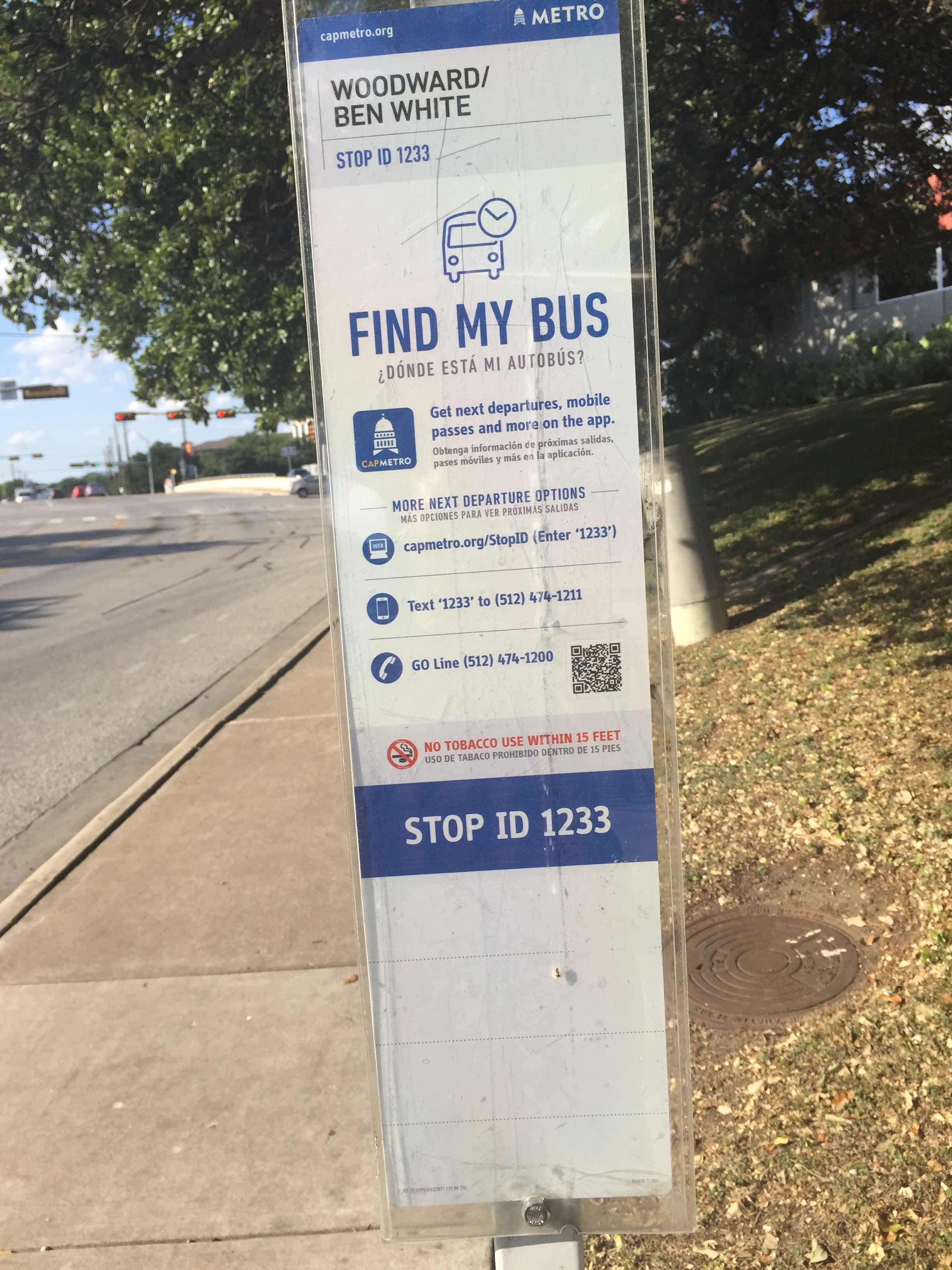
Lavaca/4th stop’s code is 2643
The first line to this stop is 486, at 3:28 AM, and the last line is 483 at 2:58 AM.
317 Lavaca St, Austin, TX, USA
This stop serves Capital Metro-Bus’s lines
Popular routes from Lavaca/4th stop, Austin
- Republic Square Station (Nb),
- Lavaca/3rd,
- Guadalupe/4th,
- 5th/Guadalupe (Republic Square),
- 178 6th/Colorado,
- 517 Lavaca/6th,
- 416 6th/San Antonio
Bus stops near Lavaca/4th stop
- Downtown Station
Light Rail station near Lavaca/4th station
- 12th/Navasota,
- 1801 Cesar Chavez/Chicon,
- 1766 71/Thornberry,
- 1498 Martin Luther King/Comal,
- 6611 1st/William Cannon,
- 6201 Lamar/Denson,
- 6th/Campbell,
- 3505 Lamar/37th,
- Pinnacle Park And Ride,
- Mays/Mays Crossing,
- 2529 S 1st/Herndon,
- 821 Airport/Glissman,
- 5638 290 Hwy/Westcreek,
- Burnet/Teakwood,
- Masterson Station (Sb),
- 4309 Red River/44th,
- Hobby Horse/Gracy Farms,
- Briarcliff/Nassau,
- 1005 Lamar/10th,
- 601 Lamar/6th
Popular public transit stations in Austin
Get around Austin by public transit!
Traveling around Austin has never been so easy. See step by step directions as you travel to any attraction, street or major public transit station. View bus and train schedules, arrival times, service alerts and detailed routes on a map, so you know exactly how to get to anywhere in Austin.
When traveling to any destination around Austin use Moovit's Live Directions with Get Off Notifications to know exactly where and how far to walk, how long to wait for your line, and how many stops are left. Moovit will alert you when it's time to get off — no need to constantly re-check whether yours is the next stop.
Wondering how to use public transit in Austin or how to pay for public transit in Austin? Moovit public transit app can help you navigate your way with public transit easily, and at minimum cost. It includes public transit fees, ticket prices, and costs. Looking for a map of Austin public transit lines? Moovit public transit app shows all public transit maps in Austin with all Bus and Light Rail routes and stops on an interactive map.
Austin has 2 transit type(s), including: Bus and Light Rail, operated by several transit agencies, including Capital Metro-Bus, Capital Metro-Tram, CARTS, Capital Area Rural Transportation System, San Marcos Transit, Greyhound-us, FlixBus-us and Bobcat Shuttle