Lawrence St & 16th Street stop - Sunday schedule
| Line | Direction | Time |
|---|---|---|
| 15 | Union Station Downtown | 4:22 AM |
| 0 | Union Station | 4:30 AM |
| 15 | Union Station Downtown | 4:52 AM |
| 38 | Clear Creek Xing | 4:56 AM |
| 15 | Union Station Downtown | 5:07 AM |
| 15 | Union Station Downtown | 5:22 AM |
| 0 | Union Station | 5:30 AM |
| 15 | Union Station Downtown | 5:37 AM |
| 15 | Union Station Downtown | 5:52 AM |
| 15 | Union Station Downtown | 6:07 AM |
| 38 | Clear Creek Xing | 6:17 AM |
| 15 | Union Station Downtown | 6:22 AM |
| 0 | Union Station | 6:30 AM |
| 15 | Union Station Downtown | 6:37 AM |
| 52 | Ward & 64th Via W 50th Ave | 6:38 AM |
| 38 | Clear Creek Xing | 6:47 AM |
| 15 | Union Station Downtown | 6:52 AM |
| 0 | Union Station | 7:00 AM |
| 15 | Union Station Downtown | 7:07 AM |
| 38 | Clear Creek Xing | 7:17 AM |
| 15 | Union Station Downtown | 7:22 AM |
| 0 | Union Station | 7:30 AM |
| 15 | Union Station Downtown | 7:37 AM |
| 52 | Ward & 64th Via W 50th Ave | 7:38 AM |
| 38 | Clear Creek Xing | 7:47 AM |
Directions to Lawrence St & 16th Street stop (Denver) with public transit
The following transit lines have routes that pass near Lawrence St & 16th Street
 Bus: 0, 1, 15, 38, 43.
- Train: G.
How to get to Lawrence St & 16th Street stop by bus?
Click on the bus route to see step by step directions with maps, line arrival times and updated time schedules.
How to get to Lawrence St & 16th Street stop by train?
Click on the train route to see step by step directions with maps, line arrival times and updated time schedules.
Bus stops near Lawrence St & 16th Street stop in Denver
- 16th Street & Lawrence St, 1 min walk,
- 17th St & Lawrence St, 3 min walk,
- Curtis St & 16th Street, 4 min walk,
Light Rail stations near Lawrence St & 16th Street station in Denver
- 18th & California Station, 11 min walk,
Bus lines to Lawrence St & 16th Street stop in Denver
- FREERIDE, Free Mallride Union Station,
- 0, Broadway,
- 1, West 1st Avenue,
- 6, East 6th Avenue,
- 9, West 10th Avenue,
- 10, East 12th Avenue,
- 15, East Colfax Avenue,
- 15L, East Colfax Limited,
- 19, North Pecos,
- 20, 20th Avenue,
- 28, 28th Avenue,
- 32, West 32nd Avenue,
- 38, West 38th Avenue,
- 43, Martin Luther King Blvd,
- 44, 44th Avenue,
- 52, W 52nd Avenue / South Bannock,
- 8, Wagon Rd Pnr,
- 48, 60th & Dahlia Via 48th & Brighton Stn,
What are the closest stations to Lawrence St & 16th Street?
The closest stations to Lawrence St & 16th Street are:
- 16th Street & Lawrence St is 32 yards away, 1 min walk.
- 17th St & Lawrence St is 191 yards away, 3 min walk.
- Curtis St & 16th Street is 267 yards away, 4 min walk.
- 18th & California Station is 849 yards away, 11 min walk.
Which bus lines stop near Lawrence St & 16th Street?
These bus lines stop near Lawrence St & 16th Street: 0, 1, 15, 38, 43, 52, 6, FREERIDE.
Which train line stops near Lawrence St & 16th Street?
G (Union Station)
What’s the nearest light rail station to Lawrence St & 16th Street in Denver?
The nearest light rail station to Lawrence St & 16th Street in Denver is 18th & California Station. It’s a 11 min walk away.
What’s the nearest bus station to Lawrence St & 16th Street in Denver?
The nearest bus station to Lawrence St & 16th Street in Denver is 16th Street & Lawrence St. It’s a 1 min walk away.
What time is the first light rail to Lawrence St & 16th Street in Denver?
The D is the first light rail that goes to Lawrence St & 16th Street in Denver. It stops nearby at 4:50 AM.
What time is the last light rail to Lawrence St & 16th Street in Denver?
The D is the last light rail that goes to Lawrence St & 16th Street in Denver. It stops nearby at 12:24 AM.
What time is the first bus to Lawrence St & 16th Street in Denver?
The 15 is the first bus that goes to Lawrence St & 16th Street in Denver. It stops nearby at 3:46 AM.
What time is the last bus to Lawrence St & 16th Street in Denver?
The 43 is the last bus that goes to Lawrence St & 16th Street in Denver. It stops nearby at 1:20 AM.
Lawrence St & 16th Street station
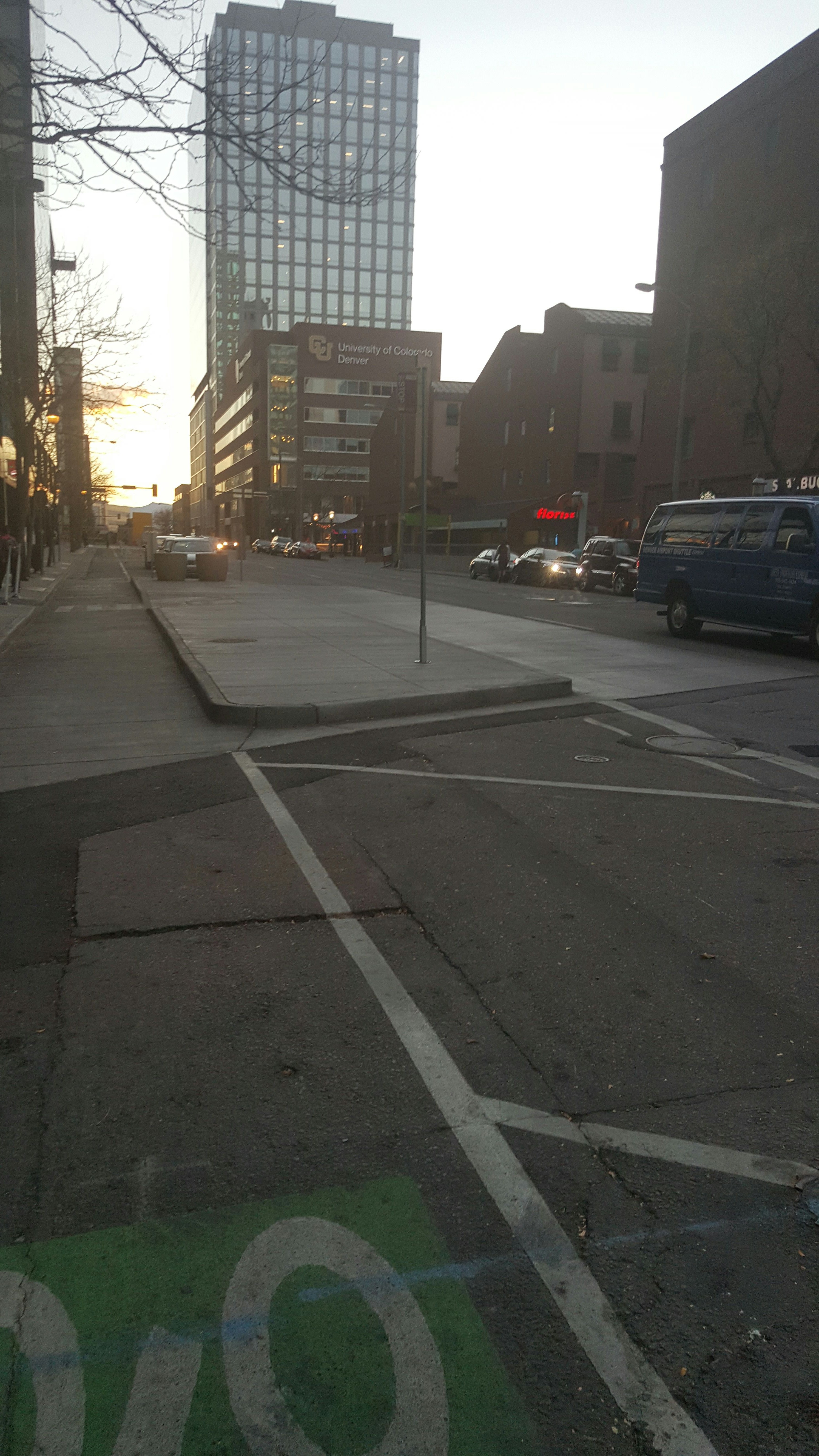 Taken by Anonymous
See Lawrence St & 16th Street stop, Denver, on the map
Public transit to Lawrence St & 16th Street stop (ID: 17752) in Denver
Looking for directions to Lawrence St & 16th Street in Denver, United States?
Download the Moovit App to find the current schedule and step-by-step directions for Bus or Train routes that pass through Lawrence St & 16th Street.
Looking for the nearest stops closest to Lawrence St & 16th Street ? Check out this list of closest stops to your destination: 16th Street & Lawrence St; 17th St & Lawrence St; Curtis St & 16th Street; 18th & California Station.
Bus: 0, 1, 15, 38, 43, 52, 6, FREERIDE, 9, 10, 8, 48.Train: G.
We make riding on public transit to Lawrence St & 16th Street easy, which is why over 1.5 million users, including users in Denver trust Moovit as the best app for public transit.
Use the app to navigate to popular places including to the airport, hospital, stadium, grocery store, mall, coffee shop, school, college, and university.
Lawrence St & 16th Street stop’s code is 17752
The first line to this stop is 15, at 4:22 AM, and the last line is 38 at 12:17 AM.
1580 Lawrence St, Denver, CO, USA
This stop serves Regional Transportation District’s lines
Popular routes from Lawrence St & 16th Street stop, Denver
- 16th Street & Lawrence St,
- 17th St & Lawrence St,
- Curtis St & 16th Street
Bus stops near Lawrence St & 16th Street stop
- 18th & California Station
Light Rail station near Lawrence St & 16th Street station
- Iliff Ave & S Havana St,
- Eastlake /124th Ave,
- Sheridan Blvd & W 26th Ave,
- S Colorado Blvd & Virginia Ave,
- 104th Ave & Colorado Blvd,
- Co 119 & S Hover St,
- 104th Ave & Walden St,
- Horizon Drive East Of 12th Street (Safeway),
- S Simms St & W Bowles Ave,
- S Parker Rd & Hilltop Rd,
- 10th / Osage Station,
- Colfax Ave & Cherry St,
- Wadsworth Blvd & W 13th Ave,
- Colfax Ave & Nome St,
- 30th St & Walnut St,
- 40th Ave & Steele St,
- Horizon Drive And Crossroads Boulevard (Grand Vista Hotel),
- S Peoria St & S Parker Rd,
- Aurora Metro Center Station,
- Thornton Pnr Gate C
Popular public transit stations in Denver
Get around Denver by public transit!
Traveling around Denver has never been so easy. See step by step directions as you travel to any attraction, street or major public transit station. View bus and train schedules, arrival times, service alerts and detailed routes on a map, so you know exactly how to get to anywhere in Denver.
When traveling to any destination around Denver use Moovit's Live Directions with Get Off Notifications to know exactly where and how far to walk, how long to wait for your line, and how many stops are left. Moovit will alert you when it's time to get off — no need to constantly re-check whether yours is the next stop.
Wondering how to use public transit in Denver or how to pay for public transit in Denver? Moovit public transit app can help you navigate your way with public transit easily, and at minimum cost. It includes public transit fees, ticket prices, and costs. Looking for a map of Denver public transit lines? Moovit public transit app shows all public transit maps in Denver with all Bus, Train, Light Rail and Gondola routes and stops on an interactive map.
Denver - Boulder, CO has 4 transit type(s), including: Bus, Train, Light Rail and Gondola, operated by several transit agencies, including Regional Transportation District, Colorado Department of Transportation, University of Colorado Boulder, Summit Stage, Groome Transportation, City of Boulder, Transfort, Bustang Outrider, Pueblo Transit, Rocky Mountain National Park Shuttles, Epic Mountain Express, Peak 1 Express, Boulder County, Breckenridge Free Ride and RFTA