How to get to Lclm by bus?
Click on the bus route to see step by step directions with maps, line arrival times and updated time schedules.
From Citi Open, Washington
47 minFrom Holy Cross Hospital, Montgomery County
40 minFrom National Institutes of Health (NIH), Montgomery County
37 minFrom 5454 Wisconsin, Montgomery County
79 minFrom Clyde's of Chevy Chase, Montgomery County
76 minFrom The Mall at Prince Georges, Prince George's County
52 minFrom Riderwood Village, Montgomery County
49 minFrom Germantown Md, Washington
50 minFrom Walter Reed National Military Medical Center, Montgomery County
38 minFrom William Hg Fitzgerald Tennis Center, Washington
46 min
How to get to Lclm by metro?
Click on the metro route to see step by step directions with maps, line arrival times and updated time schedules.
From Holy Cross Hospital, Montgomery County
51 minFrom National Institutes of Health (NIH), Montgomery County
82 minFrom 5454 Wisconsin, Montgomery County
77 minFrom Clyde's of Chevy Chase, Montgomery County
75 minFrom The Mall at Prince Georges, Prince George's County
67 minFrom Walter Reed National Military Medical Center, Montgomery County
85 min
Bus stops near Lclm in Montgomery County
Metro station near Lclm in Montgomery County
- Glenmont, 25 min walk,VIEW
Bus lines to Lclm in Montgomery County
What are the closest stations to Lclm?
The closest stations to Lclm are:
- Arcola Ave & Lamberton Dr is 82 yards away, 2 min walk.
- University W Blvd & @1135 (Arcola Towers) is 594 yards away, 8 min walk.
- The Warwick Towers;1131 University is 774 yards away, 10 min walk.
- Glenmont is 2158 yards away, 25 min walk.
Which bus lines stop near Lclm?
These bus lines stop near Lclm: 9, M12.
Which metro line stops near Lclm?
RED (Glenmont)
What’s the nearest metro station to Lclm in Montgomery County?
The nearest metro station to Lclm in Montgomery County is Glenmont. It’s a 25 min walk away.
What’s the nearest bus station to Lclm in Montgomery County?
The nearest bus station to Lclm in Montgomery County is Arcola Ave & Lamberton Dr. It’s a 2 min walk away.
What time is the first metro to Lclm in Montgomery County?
The RED is the first metro that goes to Lclm in Montgomery County. It stops nearby at 5:00 AM.
What time is the last metro to Lclm in Montgomery County?
The RED is the last metro that goes to Lclm in Montgomery County. It stops nearby at 12:37 AM.
What time is the first bus to Lclm in Montgomery County?
The M12 is the first bus that goes to Lclm in Montgomery County. It stops nearby at 4:37 AM.
What time is the last bus to Lclm in Montgomery County?
The M12 is the last bus that goes to Lclm in Montgomery County. It stops nearby at 2:25 AM.
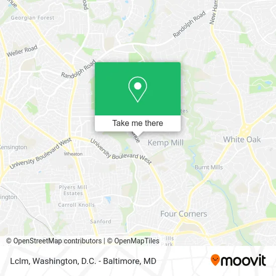
See Lclm, Montgomery County, on the map
Public Transit to Lclm in Montgomery County
Wondering how to get to Lclm in Montgomery County? Moovit helps you find the best way to get to Lclm with step-by-step directions from the nearest public transit station.
Moovit provides free maps and live directions to help you navigate through your city. View schedules, routes, timetables, and find out how long does it take to get to Lclm in real time.
Looking for the nearest stop or station to Lclm? Check out this list of stops closest to your destination: Arcola Ave & Lamberton Dr; University W Blvd & @1135 (Arcola Towers); The Warwick Towers;1131 University; Glenmont.
Bus: 9, M12, 8.Metro: RED.
Want to see if there’s another route that gets you there at an earlier time? Moovit helps you find alternative routes or times. Get directions from and directions to Lclm easily from the Moovit App or Website.
We make riding to Lclm easy, which is why over 1.5 million users, including users in Montgomery County, trust Moovit as the best app for public transit. You don’t need to download an individual bus app or train app, Moovit is your all-in-one transit app that helps you find the best bus time or train time available.
For information on prices of bus and metro, costs and ride fares to Lclm, please check the Moovit app.
Use the app to navigate to popular places including to the airport, hospital, stadium, grocery store, mall, coffee shop, school, college, and university.
Location: Montgomery County, Washington, D.C. - Baltimore, MD
- Suntrust,
- Motor Vehicle Administration - Kemp Mill,
- Norma's Hair Design (Simon Hair Design, Walk-Ins or Appointments, Welcome),
- James B Remodeling (James Bond Garage Doors),
- Rita Rich Media Services,
- The Warwick Apartments,
- Connection Dental,
- Grady Management,
- Susan Pearson, DDS (Dental Office of Dr. Susan Pearson),
- Fantasy Nail,
- Weight Watchers,
- Iddpmi Palabra de Vida,
- MCPS Transitions School,
- Arcola Ave And University Blvd Silver Spring, Md,
- Northwood High School,
- Contact US,
- Montgomery County School District,
- Eitan Arusy,
- Odessa Shannon Middle School,
- Kids Afterhours
Places Near Lclm (Montgomery County)
- Rock Creek Tennis Center, Washington,
- Basilica of the National Shrine, Washington,
- Westfield Montgomery Mall, Montgomery County,
- Sibley Memorial Hospital, Washington,
- Washington DC VA Medical Center, Washington,
- PG Mall, Prince George's County,
- Warner Theatre, Washington,
- National Museum of African American History and Culture, Washington,
- Museum Of The Bible, Washington,
- Georgetown, Washington,
- Washington National Cathedral, Washington,
- National Theatre, Washington,
- The Anthem, Washington,
- Capital One Arena, Washington,
- Camden Yards, Baltimore,
- M&T Bank Stadium, Baltimore,
- National Zoo, Washington,
- Pennsylvania Ave NW (3rd st and pennsylvania), Washington,
- Amazon Hq2, Arlington County,
- Marriott Marquis Washington, DC, Washington
How to get to popular places in Washington, D.C. - Baltimore, MD with public transit
Get around Montgomery County by public transit!
Traveling around Montgomery County has never been so easy. See step by step directions as you travel to any attraction, street or major public transit station. View bus and train schedules, arrival times, service alerts and detailed routes on a map, so you know exactly how to get to anywhere in Montgomery County.
When traveling to any destination around Montgomery County use Moovit's Live Directions with Get Off Notifications to know exactly where and how far to walk, how long to wait for your line, and how many stops are left. Moovit will alert you when it's time to get off — no need to constantly re-check whether yours is the next stop.
Wondering how to use public transit in Montgomery County or how to pay for public transit in Montgomery County? Moovit public transit app can help you navigate your way with public transit easily, and at minimum cost. It includes public transit fees, ticket prices, and costs. Looking for a map of Montgomery County public transit lines? Moovit public transit app shows all public transit maps in Montgomery County with all Bus, Train, Metro, Light Rail and Ferry routes and stops on an interactive map.
Washington, D.C. - Baltimore, MD has 5 transit type(s), including: Bus, Train, Metro, Light Rail and Ferry, operated by several transit agencies, including WMATA, Montgomery County Ride On, Fairfax Connector, TheBus, PRTC, DASH - Alexandria, Arlington Transit (ART), RTA of Central Maryland, MDOT MTA, MDOT MTA Light RailLink, MDOT MTA Commuter Bus, MDOT MTA Local Bus, FXBGO!, Virginia Railway Express (VRE) and MARC