How to get to Le Triangle by bus?
Click on the bus route to see step by step directions with maps, line arrival times and updated time schedules.
From Ancienne Gare De Manduel-Redessan, Manduel
44 minFrom Route de Poulx, Marguerittes
40 minFrom Rodilhan, Rodilhan
43 minFrom 30980, Saint-Dionizy
73 minFrom Poulx, Poulx
55 minFrom ibis Budget, Marguerittes
45 minFrom Gare SNCF de Manduel - Redessan, Manduel
44 minFrom Ccas Marguerittes, Marguerittes
47 minFrom Saint-Dionisy, Saint-Dionizy
68 minFrom Intermarché Super, Caveirac
28 min
Bus stops near Le Triangle in Nimes
Bus lines to Le Triangle in Nimes
- 51, Nîmes Gare Routiere,VIEW
- 52, Saint Come Et Maruejols,VIEW
- 61, Nîmes Gare Feucheres,VIEW
- 77, Jaures,VIEW
- T2, Paloma,VIEW
- T3, Gare Feucheres,VIEW
- 70, Hauts De Nîmes,VIEW
- 78, Jaures,VIEW
- 16, Ville Active,VIEW
- 804A, Saint - Genies,VIEW
- 804B, Nîmes Gare Routiere,VIEW
- 227, Saint - Dionisy,VIEW
- 15, Laennec,VIEW
- 13, Mas Des Rosiers,VIEW
- T1, Gambetta - Coupole,VIEW
- T4, Caissargues,VIEW
What are the closest stations to Le Triangle?
The closest stations to Le Triangle are:
- Jaurès is 149 meters away, 3 min walk.
- Europe is 243 meters away, 4 min walk.
- Dhuoda is 354 meters away, 5 min walk.
- Puech Du Teil is 398 meters away, 6 min walk.
Which bus lines stop near Le Triangle?
These bus lines stop near Le Triangle: 15, 16, 51, T4.
What’s the nearest bus station to Le Triangle in Nimes?
The nearest bus station to Le Triangle in Nimes is Jaurès. It’s a 3 min walk away.
What time is the first bus to Le Triangle in Nimes?
The T1 is the first bus that goes to Le Triangle in Nimes. It stops nearby at 5:29 AM.
What time is the last bus to Le Triangle in Nimes?
The T2 is the last bus that goes to Le Triangle in Nimes. It stops nearby at 1:04 AM.
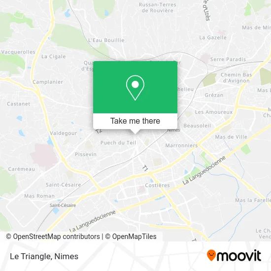
See Le Triangle, Nimes, on the map
Public Transit to Le Triangle in Nimes
Wondering how to get to Le Triangle in Nimes? Moovit helps you find the best way to get to Le Triangle with step-by-step directions from the nearest public transit station.
Moovit provides free maps and live directions to help you navigate through your city. View schedules, routes, timetables, and find out how long does it take to get to Le Triangle in real time.
Looking for the nearest stop or station to Le Triangle? Check out this list of stops closest to your destination: Jaurès; Europe; Dhuoda; Puech Du Teil.
Bus: 15, 16, 51, T4, 52, 61, 77, T2, 70, 78, 804A, 804B, 227, 13, T1.
Want to see if there’s another route that gets you there at an earlier time? Moovit helps you find alternative routes or times. Get directions from and directions to Le Triangle easily from the Moovit App or Website.
We make riding to Le Triangle easy, which is why over 1.5 million users, including users in Nimes, trust Moovit as the best app for public transit. You don’t need to download an individual bus app or train app, Moovit is your all-in-one transit app that helps you find the best bus time or train time available.
For information on prices of bus, costs and ride fares to Le Triangle, please check the Moovit app.
Use the app to navigate to popular places including to the airport, hospital, stadium, grocery store, mall, coffee shop, school, college, and university.
Le Triangle Address: 55 Avenue Jean Jaurès 30900 Nîmes street in Nimes
- Pediatrie Severine,
- Comet-Didierjean Pauline,
- Dr. Boucoiran Jacques,
- Maurel Serge,
- A Bruni Bizet,
- Sdf Maréschal Assurances,
- Iacono di Cacito Bernard,
- Banque Populaire du Midi Agence Nîmes Severine,
- Severine Market,
- Diététicienne Naturhouse Nîmes,
- Matmut Assurances,
- Roger Peinture,
- In Extenso Gard,
- Jaussaud Alain,
- Dr. Andrieu Christian,
- A S Expertise Révision Sarl Standard,
- Leffilochee,
- Optic Tendance,
- Le Centre Capillaire,
- La Mutuelle Générale
Places Near Le Triangle (Nimes)
- Clinique Franciscaine,
- Centre hospitalier Caremeau,
- Parc Kennedy,
- Polyclinique Du Grand Sud,
- Saint-Césaire,
- Kinepolis,
- Geant Casino,
- Aire De Covoiturage Nîmes Ouest,
- Rond-Point Kilomètre Delta, Nîmes,
- Les 7 Collines,
- La Galerie - Cap Costières,
- VILLE ACTIVE, Nîmes,
- Jardins de la Fontaine,
- Carrefour Nîmes Sud,
- Rue Gilles Roberval 285,
- E.Leclerc,
- Le Parnasse, Nîmes,
- CHU de Nîmes - Hôpital universitaire Carémeau,
- École Nationale De Police,
- Hôpital Privé Les Franciscaines
How to get to popular places in Nimes with public transit
Get around Nimes by public transit!
Traveling around Nimes has never been so easy. See step by step directions as you travel to any attraction, street or major public transit station. View bus and train schedules, arrival times, service alerts and detailed routes on a map, so you know exactly how to get to anywhere in Nimes.
When traveling to any destination around Nimes use Moovit's Live Directions with Get Off Notifications to know exactly where and how far to walk, how long to wait for your line, and how many stops are left. Moovit will alert you when it's time to get off — no need to constantly re-check whether yours is the next stop.
Wondering how to use public transit in Nimes or how to pay for public transit in Nimes? Moovit public transit app can help you navigate your way with public transit easily, and at minimum cost. It includes public transit fees, ticket prices, and costs. Looking for a map of Nimes public transit lines? Moovit public transit app shows all public transit maps in Nimes with all bus routes and stops on an interactive map.
Nimes has 1 transit type(s), including: bus, operated by several transit agencies, including TANGO