Directions to Lees Transportation Photo (Petersburg) with public transportation
The following transit lines have routes that pass near Lees Transportation Photo
 Bus: 3, 95, GREYHOUND US0670, 23.
- Train: CAROLINIAN, FLORIDIAN, NORTHEAST REGIONAL, PALMETTO, SILVER METEOR.
How to get to Lees Transportation Photo by bus?
Click on the bus route to see step by step directions with maps, line arrival times and updated time schedules.
From Rose Gaming Resort, Prince William County
557 minFrom Lorton, VA, Fairfax County
541 minFrom Lorton, VA - Amtrak Auto Train Station (LOR), Fairfax County
547 minFrom Potomac Mills Mall, Prince William County
532 minFrom Busch Gardens Williamsburg (Employee Parking Lot), James City County
353 minFrom UVA Hospital Medical Center, Charlottesville
621 minFrom Amazon Fulfillment Center-Ric3, Richmond
211 minFrom Woodbridge, VA, Prince William County
292 min
Bus stop near Lees Transportation Photo in Petersburg
- Halifax Street And Cool Springs Drive (Northbound), 4 min walk,VIEW
Train station near Lees Transportation Photo in Petersburg
- Petersburg Amtrak Station, 62 min walk,VIEW
Bus lines to Lees Transportation Photo in Petersburg
- 23, Petersburg Station,VIEW
What are the closest stations to Lees Transportation Photo?
The closest stations to Lees Transportation Photo are:
- Halifax Street And Cool Springs Drive (Northbound) is 260 yards away, 4 min walk.
- Petersburg Amtrak Station is 5262 yards away, 62 min walk.
Which bus lines stop near Lees Transportation Photo?
These bus lines stop near Lees Transportation Photo: 3, 95, GREYHOUND US0670.
What’s the nearest bus station to Lees Transportation Photo in Petersburg?
The nearest bus station to Lees Transportation Photo in Petersburg is Halifax Street And Cool Springs Drive (Northbound). It’s a 4 min walk away.
What time is the first train to Lees Transportation Photo in Petersburg?
The NORTHEAST REGIONAL is the first train that goes to Lees Transportation Photo in Petersburg. It stops nearby at 10:25 AM.
What time is the last train to Lees Transportation Photo in Petersburg?
The SILVER METEOR is the last train that goes to Lees Transportation Photo in Petersburg. It stops nearby at 2:53 AM.
What time is the first bus to Lees Transportation Photo in Petersburg?
The 23 is the first bus that goes to Lees Transportation Photo in Petersburg. It stops nearby at 6:52 AM.
What time is the last bus to Lees Transportation Photo in Petersburg?
The 23 is the last bus that goes to Lees Transportation Photo in Petersburg. It stops nearby at 10:02 PM.
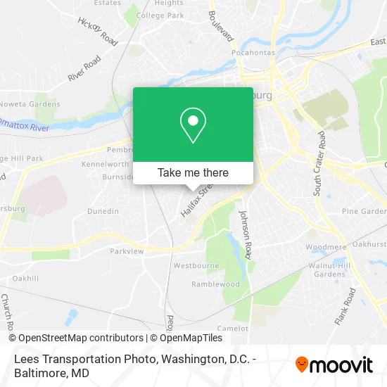
See Lees Transportation Photo, Petersburg, on the map
Public Transit to Lees Transportation Photo in Petersburg
Wondering how to get to Lees Transportation Photo in Petersburg? Moovit helps you find the best way to get to Lees Transportation Photo with step-by-step directions from the nearest public transit station.
Moovit provides free maps and live directions to help you navigate through your city. View schedules, routes, timetables, and find out how long does it take to get to Lees Transportation Photo in real time.
Looking for the nearest stop or station to Lees Transportation Photo? Check out this list of stops closest to your destination: Halifax Street And Cool Springs Drive (Northbound); Petersburg Amtrak Station.
Bus: 3, 95, GREYHOUND US0670, 23.Train: CAROLINIAN, FLORIDIAN, NORTHEAST REGIONAL, PALMETTO, SILVER METEOR.
Want to see if there’s another route that gets you there at an earlier time? Moovit helps you find alternative routes or times. Get directions from and directions to Lees Transportation Photo easily from the Moovit App or Website.
We make riding to Lees Transportation Photo easy, which is why over 1.5 million users, including users in Petersburg, trust Moovit as the best app for public transit. You don’t need to download an individual bus app or train app, Moovit is your all-in-one transit app that helps you find the best bus time or train time available.
For information on prices of bus and train, costs and ride fares to Lees Transportation Photo, please check the Moovit app.
Use the app to navigate to popular places including to the airport, hospital, stadium, grocery store, mall, coffee shop, school, college, and university.
Lees Transportation Photo Address: 109 Walkover St Petersburg, VA 23803 street in Petersburg
- City of Petersburg Social Services Department,
- A D T Security Services,
- City of Petersburg Planning & Community Development,
- Petersburg Public Library,
- Petersburg City Police Department,
- Petersburg Public Library- Ap Hill Branch,
- A.P. Hill Community Center Park,
- R G C,
- Shanika Scott,
- Charlenes Family Home Daycare,
- Salvation Army,
- J's Groceries,
- Affordable Health,Wellness Services,
- Fobbs Daycare,
- Tuckers Heating Air Conditioning & Refrgrtion Service,
- Nelson Bland Literacy Center,
- Metropolitan Baptist Church,
- Cool Springs Elementary School,
- Crime Watch Systems,
- City Garage
Places Near Lees Transportation Photo (Petersburg)
- Sibley Memorial Hospital, Washington,
- Camden Yards, Baltimore,
- Rock Creek Tennis Center, Washington,
- Marriott Marquis Washington, DC, Washington,
- The Anthem, Washington,
- Westfield Montgomery Mall, Montgomery County,
- Washington DC VA Medical Center, Washington,
- Amazon Hq2, Arlington County,
- Georgetown, Washington,
- Capital One Arena, Washington,
- M&T Bank Stadium, Baltimore,
- National Mall, Washington,
- National Zoo, Washington,
- Pennsylvania Ave NW (3rd st and pennsylvania), Washington,
- PG Mall, Prince George's County,
- Basilica of the National Shrine, Washington,
- Warner Theatre, Washington,
- National Museum of African American History and Culture, Washington,
- Museum Of The Bible, Washington,
- Washington National Cathedral, Washington
How to get to popular places in Washington, D.C. - Baltimore, MD with public transit
Get around Petersburg by public transit!
Traveling around Petersburg has never been so easy. See step by step directions as you travel to any attraction, street or major public transit station. View bus and train schedules, arrival times, service alerts and detailed routes on a map, so you know exactly how to get to anywhere in Petersburg.
When traveling to any destination around Petersburg use Moovit's Live Directions with Get Off Notifications to know exactly where and how far to walk, how long to wait for your line, and how many stops are left. Moovit will alert you when it's time to get off — no need to constantly re-check whether yours is the next stop.
Wondering how to use public transit in Petersburg or how to pay for public transit in Petersburg? Moovit public transit app can help you navigate your way with public transit easily, and at minimum cost. It includes public transit fees, ticket prices, and costs. Looking for a map of Petersburg public transit lines? Moovit public transit app shows all public transit maps in Petersburg with all Bus, Train, Metro, Light Rail and Ferry routes and stops on an interactive map.
Washington, D.C. - Baltimore, MD has 5 transit type(s), including: Bus, Train, Metro, Light Rail and Ferry, operated by several transit agencies, including WMATA, Montgomery County Ride On, Fairfax Connector, TheBus, PRTC, DASH - Alexandria, Arlington Transit (ART), RTA of Central Maryland, MDOT MTA, MDOT MTA Light RailLink, MDOT MTA Commuter Bus, MDOT MTA Local Bus, FXBGO!, Virginia Railway Express (VRE) and MARC