Directions to Let's Waffle (Cape Coral) with public transportation
The following transit lines have routes that pass near Let's Waffle
 Bus: 40.
How to get to Let's Waffle by bus?
Click on the bus route to see step by step directions with maps, line arrival times and updated time schedules.
From Coastal Locksmith, Cape Coral
43 minFrom K K Paveis, Cape Coral
66 minFrom Anthony Faiella Pressure Cleaning, North Fort Myers
86 minFrom Mozzarella Puglia Pasta, Fort Myers
96 minFrom Hanson St / US-41, Fort Myers
95 minFrom Fort Myers Windshield Repair, Fort Myers
86 minFrom Team St Pete, Fort Myers
99 minFrom Lee County Government, Uncommon Friends, Waste Water Collection Lines Service & Repairs, Fort Myers
89 minFrom 1890 Pine Island Rd Parking, Cape Coral
46 minFrom McGregor Pet Care, Fort Myers
99 min
Bus stop near Let's Waffle in Cape Coral
- Santa Barbara Blvd @ SE 11th Ter, 3 min walk,VIEW
Bus lines to Let's Waffle in Cape Coral
- 40, Cape Coral Transfer Center,VIEW
What are the closest stations to Let's Waffle?
The closest stations to Let's Waffle are:
- Santa Barbara Blvd @ SE 11th Ter is 160 yards away, 3 min walk.
Which bus line stops near Let's Waffle?
40 (Cape Coral Transfer Center→Cape Coral Hospital @ SE 6th St)
What’s the nearest bus station to Let's Waffle in Cape Coral?
The nearest bus station to Let's Waffle in Cape Coral is Santa Barbara Blvd @ SE 11th Ter. It’s a 3 min walk away.
What time is the first bus to Let's Waffle in Cape Coral?
The 40 is the first bus that goes to Let's Waffle in Cape Coral. It stops nearby at 6:00 AM.
What time is the last bus to Let's Waffle in Cape Coral?
The 40 is the last bus that goes to Let's Waffle in Cape Coral. It stops nearby at 8:30 PM.
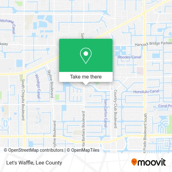
See Let's Waffle, Cape Coral, on the map
Public Transit to Let's Waffle in Cape Coral
Wondering how to get to Let's Waffle in Cape Coral? Moovit helps you find the best way to get to Let's Waffle with step-by-step directions from the nearest public transit station.
Moovit provides free maps and live directions to help you navigate through your city. View schedules, routes, timetables, and find out how long does it take to get to Let's Waffle in real time.
Looking for the nearest stop or station to Let's Waffle? Check out this list of stops closest to your destination: Santa Barbara Blvd @ SE 11th Ter.
Bus: 40.
Want to see if there’s another route that gets you there at an earlier time? Moovit helps you find alternative routes or times. Get directions from and directions to Let's Waffle easily from the Moovit App or Website.
We make riding to Let's Waffle easy, which is why over 1.5 million users, including users in Cape Coral, trust Moovit as the best app for public transit. You don’t need to download an individual bus app or train app, Moovit is your all-in-one transit app that helps you find the best bus time or train time available.
For information on prices of bus, costs and ride fares to Let's Waffle, please check the Moovit app.
Use the app to navigate to popular places including to the airport, hospital, stadium, grocery store, mall, coffee shop, school, college, and university.
Let's Waffle Address: 1031 Santa Barbara Blvd Cape Coral, FL 33991 street in Cape Coral
- Waikiki Ink Cape Coral Tattoo & Piercing,
- Eli the Barber,
- Wolf Creek Collective,
- Massage Pure Healing,
- D.R. Horton,
- New Destiny School of Ministry,
- Studio 8 Dance,
- Flawless Salon & Barbershop,
- 1021 Santa Barbara Blvd Parking,
- Affordable Garage Door Service,
- DUNKIN',
- Uitech,
- Abbott Kagan II MD,
- Cape Coral Shower & Tub Installation Plumbing,
- Ubreakifix,
- Commercial Cleaning Service,
- Dollar+Xpress,
- Sweet Science Boxing and Fitness,
- East of Chicago,
- Positive Progress Counsel
Places Near Let's Waffle (Cape Coral)
- All About U Naples Escorts, Pine Ridge,
- Miromar Outlets, Estero,
- U.S.-41 / Colonial Blvd. Intersection, Fort Myers,
- Matlacha Nude Beach, Matlacha Isles-Matlacha Shores,
- Amazon Warehouse Rsw5,
- Seminole Casino Hotel Immokalee,
- Bonita Springs, FL, Bonita Springs,
- Lee County Tax Collector, Cape Coral,
- I-75 & Colonial (Exit 136), Fort Myers,
- Ft Myers Airport RSW,
- I-75 & MLK (Exit 138), Fort Myers,
- Flixbus, Fort Myers,
- Rosa Parks Transportation Center, Fort Myers,
- Walmart Supercenter, Fort Myers,
- Bonita Beach, Bonita Springs,
- Pelican Landing Beach Shuttle, Bonita Springs,
- Lehigh Acres, FL, Lehigh Acres,
- Bonita Bay Private Beach Club, Bonita Springs,
- US-41, Fort Myers,
- Edison Mall, Fort Myers
How to get to popular places in Lee County with public transit
Get around Cape Coral by public transit!
Traveling around Cape Coral has never been so easy. See step by step directions as you travel to any attraction, street or major public transit station. View bus and train schedules, arrival times, service alerts and detailed routes on a map, so you know exactly how to get to anywhere in Cape Coral.
When traveling to any destination around Cape Coral use Moovit's Live Directions with Get Off Notifications to know exactly where and how far to walk, how long to wait for your line, and how many stops are left. Moovit will alert you when it's time to get off — no need to constantly re-check whether yours is the next stop.
Wondering how to use public transit in Cape Coral or how to pay for public transit in Cape Coral? Moovit public transit app can help you navigate your way with public transit easily, and at minimum cost. It includes public transit fees, ticket prices, and costs. Looking for a map of Cape Coral public transit lines? Moovit public transit app shows all public transit maps in Cape Coral with all bus routes and stops on an interactive map.
Lee County has 1 transit type(s), including: bus, operated by several transit agencies, including LeeTran, CAT and FlixBus-us