How to get to Letes Craft by train?
Click on the train route to see step by step directions with maps, line arrival times and updated time schedules.
Train station near Letes Craft in Pasuruan
- Stasiun Bangil, 31 min walk,VIEW
What are the closest stations to Letes Craft?
The closest stations to Letes Craft are:
- Stasiun Bangil is 2408 meters away, 31 min walk.
Which train lines stop near Letes Craft?
These train lines stop near Letes Craft: P, S.
What time is the first train to Letes Craft in Pasuruan?
The SP is the first train that goes to Letes Craft in Pasuruan. It stops nearby at 4:43 AM.
What time is the last train to Letes Craft in Pasuruan?
The SP is the last train that goes to Letes Craft in Pasuruan. It stops nearby at 2:19 AM.
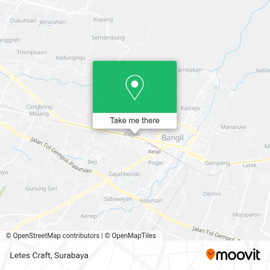
See Letes Craft, Pasuruan, on the map
Public Transit to Letes Craft in Pasuruan
Wondering how to get to Letes Craft in Pasuruan? Moovit helps you find the best way to get to Letes Craft with step-by-step directions from the nearest public transit station.
Moovit provides free maps and live directions to help you navigate through your city. View schedules, routes, timetables, and find out how long does it take to get to Letes Craft in real time.
Looking for the nearest stop or station to Letes Craft? Check out this list of stops closest to your destination: Stasiun Bangil.
Train: P, S, SP.
Want to see if there’s another route that gets you there at an earlier time? Moovit helps you find alternative routes or times. Get directions from and directions to Letes Craft easily from the Moovit App or Website.
We make riding to Letes Craft easy, which is why over 1.5 million users, including users in Pasuruan, trust Moovit as the best app for public transit. You don’t need to download an individual bus app or train app, Moovit is your all-in-one transit app that helps you find the best bus time or train time available.
For information on prices of train and bus, costs and ride fares to Letes Craft, please check the Moovit app.
Use the app to navigate to popular places including to the airport, hospital, stadium, grocery store, mall, coffee shop, school, college, and university.
Letes Craft Address: Pasuruan Kabupaten 67153 street in Pasuruan
- UD Linda Hasta Bourdiur,
- Surabi Modern,
- Bang Kodir,
- Warung Mak Kcang,
- Warkop 06,
- Warung Stand Ragil,
- Toko Nuriyah,
- Warung Rizky,
- Rawon Saminah Cabang Sentra Kuliner,
- P Djalal,
- Klinik Dokter M Zainun Sp.P,
- Serabi Duren Ody,
- Bengkel Las Dan Bubut Artomoro,
- Farida Kitchen,
- Aqobah Perus,
- Pagak,
- Cafe Kayu Manis,
- Toko Silvy,
- Herbal Lambung Alami,
- Maria Pulsa
Places Near Letes Craft (Pasuruan)
- Grand City Mall, Surabaya, Gubeng,
- PTC, Surabaya,
- Smoking Room Terminal Domestik Juanda International Airport, Sidoarjo,
- Graha Pena, Ketintang,
- Kantor Regional II BKN Surabaya, Sidoarjo,
- Taman Harmoni, Keputih,
- BG Junction Mall, Bubutan,
- Pelabuhan Tanjung Perak,
- Bg Junction, Bubutan,
- Kebun Binatang Surabaya, Darmo,
- Pakuwon Mall, Lontar,
- GBT (Gelora Bung Tomo) Surabaya, Benowo,
- Halte Bis Royal Plaza, Wonokromo,
- Stadion gelora bung tomo(surabaya,jawa timur), Surabaya,
- Bis Damri P1 (Perak-Bungurasih PP), Krembangan Selatan,
- UPN Veteran Jawa Timur, Gunung Anyar,
- Galaxy Mall Surabaya, Mulyorejo,
- Pakuwon City Mall, Keputih,
- Masjid Al-Akbar, Surabaya,
- Universitas Negeri Surabaya (UNESA), Lidah Wetan
How to get to popular places in Surabaya with public transit
Get around Pasuruan by public transit!
Traveling around Pasuruan has never been so easy. See step by step directions as you travel to any attraction, street or major public transit station. View bus and train schedules, arrival times, service alerts and detailed routes on a map, so you know exactly how to get to anywhere in Pasuruan.
When traveling to any destination around Pasuruan use Moovit's Live Directions with Get Off Notifications to know exactly where and how far to walk, how long to wait for your line, and how many stops are left. Moovit will alert you when it's time to get off — no need to constantly re-check whether yours is the next stop.
Wondering how to use public transit in Pasuruan or how to pay for public transit in Pasuruan? Moovit public transit app can help you navigate your way with public transit easily, and at minimum cost. It includes public transit fees, ticket prices, and costs. Looking for a map of Pasuruan public transit lines? Moovit public transit app shows all public transit maps in Pasuruan with all Bus and Train routes and stops on an interactive map.
Surabaya has 2 transit type(s), including: Bus and Train, operated by several transit agencies, including KAI Commuter, Angkutan Surabaya, Trans Semanggi Suroboyo, Suroboyo Bus, Feeder Wira Wiri Suroboyo, Trans Jatim and DAMRI