Army Waterfront/Monte Grappa stop - Tuesday schedule
| Line | Direction | Time |
|---|---|---|
| N201 | Piazza Venezia | 3:12 AM |
| N201 | Piazza Venezia | 3:12 AM |
| N3S | Ostiense Square-Pyramid (Metro-Rail) | 3:14 AM |
| N3S | Ostiense Square-Pyramid (Metro-Rail) | 3:14 AM |
| N201 | Piazza Venezia | 3:40 AM |
| N201 | Piazza Venezia | 3:40 AM |
| N3S | Ostiense Square-Pyramid (Metro-Rail) | 3:45 AM |
| N3S | Ostiense Square-Pyramid (Metro-Rail) | 3:45 AM |
| N201 | Piazza Venezia | 4:08 AM |
| N201 | Piazza Venezia | 4:08 AM |
| N3S | Ostiense Square-Pyramid (Metro-Rail) | 4:20 AM |
| N3S | Ostiense Square-Pyramid (Metro-Rail) | 4:20 AM |
| N201 | Piazza Venezia | 4:38 AM |
| N201 | Piazza Venezia | 4:38 AM |
| N3S | Ostiense Square-Pyramid (Metro-Rail) | 4:50 AM |
| N3S | Ostiense Square-Pyramid (Metro-Rail) | 4:50 AM |
| N201 | Piazza Venezia | 5:09 AM |
| N201 | Piazza Venezia | 5:09 AM |
| N3S | Ostiense Square-Pyramid (Metro-Rail) | 5:20 AM |
| N3S | Ostiense Square-Pyramid (Metro-Rail) | 5:20 AM |
| 982 | Quattro Venti Station | 5:39 AM |
| N201 | Piazza Venezia | 5:44 AM |
| N201 | Piazza Venezia | 5:44 AM |
| 982 | Quattro Venti Station | 6:13 AM |
| 982 | Quattro Venti Station | 6:43 AM |
Directions to Army Waterfront/Monte Grappa stop (Roma) with public transit
The following transit lines have routes that pass near Army Waterfront/Monte Grappa
 Bus: 19NAV, 490, 495, 628, 2.
- Train: FL3.
- Metro: A.
How to get to Army Waterfront/Monte Grappa stop by bus?
Click on the bus route to see step by step directions with maps, line arrival times and updated time schedules.
How to get to Army Waterfront/Monte Grappa stop by train?
Click on the train route to see step by step directions with maps, line arrival times and updated time schedules.
How to get to Army Waterfront/Monte Grappa stop by metro?
Click on the metro route to see step by step directions with maps, line arrival times and updated time schedules.
Bus stops near Army Waterfront/Monte Grappa stop in Roma
- Flaminia/Fine Arts, 2 min walk,
- Navi Waterfront, 6 min walk,
- Piazza Five Days, 6 min walk,
- Flaminia/Villa Giulia, 6 min walk,
Metro stations near Army Waterfront/Monte Grappa station in Roma
- Lepanto, 20 min walk,
Bus lines to Army Waterfront/Monte Grappa stop in Roma
- 2, Flaminio (MA) - Mancini Square,
- 2BUS, Tram 2 Replacement | Flaminio (MA) - Piazza Mancini,
- C3, Tiburtina Station (Metro B),
- N3S, Ostiense Square-Pyramid (Metro-Rail),
- G04, Piazzale Flaminio (Metro),
- 19NAV, Giulio Cesare/Ottaviano (Ma),
- N201, Piazza Venezia,
- 982, Seventeenth Olympics,
- 495, Valle Aurelia/Bonaccorsi,
- 628, Baronio,
- NMA, Sostitutiva MA | Anagnina (MA) - Battistini (MA),
- N3D, Circolare destra | Piramide (MB-RL) - Trastevere - Parioli - San Lorenzo - Piramide (MB-RL),
- 87, Colli Albani (Metro A) - Lepanto (Metro A),
- 89, P.le Clodio - S. Agnese/Annibaliano (MB1),
- 301, Lepanto (MA) - Tomba di Nerone,
- 490, Tiburtina (MB-Station) - Cornelia (MA),
- 590, Cipro (MA) - Cinecittà (MA),
- G40, Grottarossa Station,
What are the closest stations to Army Waterfront/Monte Grappa?
The closest stations to Army Waterfront/Monte Grappa are:
- Flaminia/Fine Arts stop is 102 meters away, 2 min walk.
- Navi Waterfront stop is 409 meters away, 6 min walk.
- Piazza Five Days stop is 422 meters away, 6 min walk.
- Flaminia/Villa Giulia stop is 440 meters away, 6 min walk.
- Lepanto station is 1513 meters away, 20 min walk.
Which bus lines stop near Army Waterfront/Monte Grappa?
These bus lines stop near Army Waterfront/Monte Grappa: 19NAV, 490, 495, 628.
Which train line stops near Army Waterfront/Monte Grappa?
FL3 (Viterbo)
Which metro line stops near Army Waterfront/Monte Grappa?
A (Battistini)
What’s the nearest metro station to Army Waterfront/Monte Grappa in Roma?
The nearest metro station to Army Waterfront/Monte Grappa in Roma is Lepanto. It’s a 20 min walk away.
What’s the nearest bus station to Army Waterfront/Monte Grappa in Roma?
The nearest bus station to Army Waterfront/Monte Grappa in Roma is Flaminia/Fine Arts. It’s a 2 min walk away.
What time is the first light rail to Army Waterfront/Monte Grappa in Roma?
The 2 is the first light rail that goes to Army Waterfront/Monte Grappa in Roma. It stops nearby at 5:10 AM.
What time is the last light rail to Army Waterfront/Monte Grappa in Roma?
The 2 is the last light rail that goes to Army Waterfront/Monte Grappa in Roma. It stops nearby at 12:30 AM.
What time is the first bus to Army Waterfront/Monte Grappa in Roma?
The N201 is the first bus that goes to Army Waterfront/Monte Grappa in Roma. It stops nearby at 3:03 AM.
What time is the last bus to Army Waterfront/Monte Grappa in Roma?
The NMA is the last bus that goes to Army Waterfront/Monte Grappa in Roma. It stops nearby at 3:39 AM.
Army Waterfront/Monte Grappa station
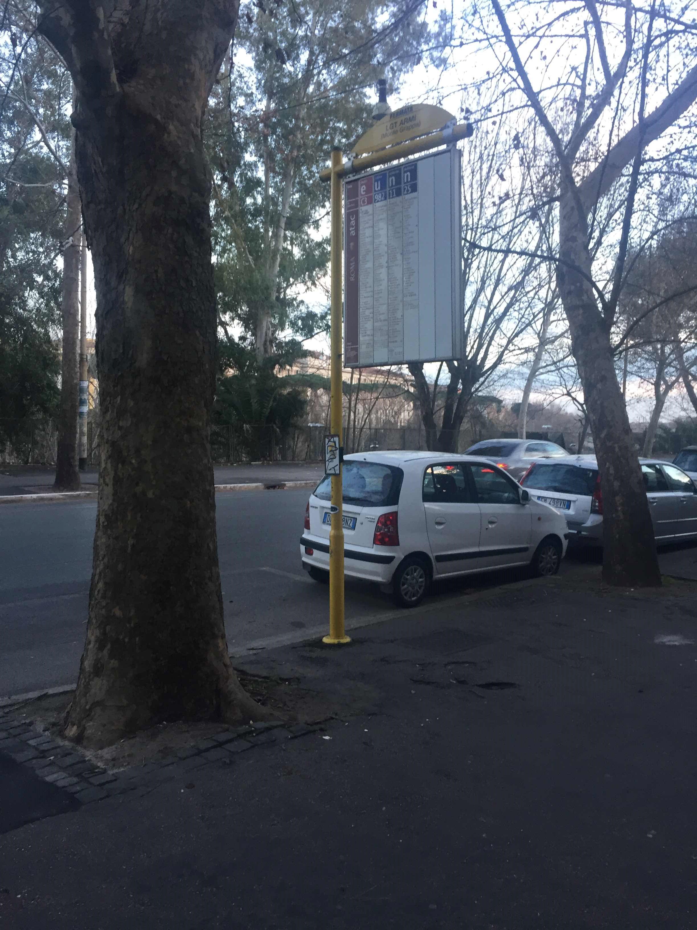 Taken by Anonymous
See Army Waterfront/Monte Grappa stop, Roma, on the map
Public transit to Army Waterfront/Monte Grappa stop (ID: 78062) in Roma
Looking for directions to Army Waterfront/Monte Grappa in Roma, Italy?
Download the Moovit App to find the current schedule and step-by-step directions for Bus, Metro or Train routes that pass through Army Waterfront/Monte Grappa.
Looking for the nearest stops closest to Army Waterfront/Monte Grappa ? Check out this list of closest stops to your destination: Flaminia/Fine Arts; Navi Waterfront; Piazza Five Days; Flaminia/Villa Giulia; Lepanto.
Bus: 19NAV, 490, 495, 628, 2, 2BUS, C3, N3S, G04, N201, NMA, N3D, 87, 89, 301, G40.Train: FL3.Metro: A.
We make riding on public transit to Army Waterfront/Monte Grappa easy, which is why over 1.7 billion users, including users in Roma trust Moovit as the best app for public transit.
Use the app to navigate to popular places including to the airport, hospital, stadium, grocery store, mall, coffee shop, school, college, and university.
Army Waterfront/Monte Grappa stop’s code is 78062
The first line to this stop is N201, at 3:12 AM, and the last line is N3S at 2:49 AM.
Via Don Giovanni Verità, Roma, Italy
This stop serves ATAC and BIS’s lines
- Flaminia/Fine Arts,
- Navi Waterfront,
- Piazza Five Days,
- Flaminia/Villa Giulia
Bus stops near Army Waterfront/Monte Grappa stop
- Lepanto
Metro station near Army Waterfront/Monte Grappa station
- Castel Gandolfo,
- Riano | Tiberina Street (Km 11),
- Poggio Nativo | Salaria Road (Km 51),
- Tor Di Valle,
- Gaeta | Fontania Beach,
- Antonelli/Ponzi,
- Schiavonetti/Tor Vergata,
- Vicovaro | Tiburtina Road Testaccio Road,
- Cortina D'Ampezzo/Cavalese,
- Zanardini/Spegazzini,
- Subiaco | Sublacense Road (Km 12),
- Risorgimento/S. Pietro,
- Torpignattara/Angeli,
- New Vines/Lumiere,
- Labicana,
- Gaeta via Italia G. Caboto Institute,
- Monte Brianzo,
- La Giustiniana (On Request),
- Cinecittà (Metro A),
- S. Maria Maggiore
Popular public transit stations in Roma
Get around Roma by public transit!
Traveling around Roma has never been so easy. See step by step directions as you travel to any attraction, street or major public transit station. View bus and train schedules, arrival times, service alerts and detailed routes on a map, so you know exactly how to get to anywhere in Roma.
When traveling to any destination around Roma use Moovit's Live Directions with Get Off Notifications to know exactly where and how far to walk, how long to wait for your line, and how many stops are left. Moovit will alert you when it's time to get off — no need to constantly re-check whether yours is the next stop.
Wondering how to use public transit in Roma or how to pay for public transit in Roma? Moovit public transit app can help you navigate your way with public transit easily, and at minimum cost. It includes public transit fees, ticket prices, and costs. Looking for a map of Roma public transit lines? Moovit public transit app shows all public transit maps in Roma with all Bus, Train, Metro, Light Rail, Ferry, Funicular and Gondola routes and stops on an interactive map.
Rome and Lazio has 7 transit type(s), including: Bus, Train, Metro, Light Rail, Ferry, Funicular and Gondola, operated by several transit agencies, including ATAC, Cotral, Trenitalia, Troiani Transportation Services, BIS, ATR Mobility, Tuscia, Shuttle, Seatour, Troiani Bus Lines, CSC Mobility, Terravision, ATRAL, Tambus and Sitbus