How to get to Liberty Chamber of Commerce by bus?
Click on the bus route to see step by step directions with maps, line arrival times and updated time schedules.
Bus stops near Liberty Chamber of Commerce in New York - New Jersey
Bus lines to Liberty Chamber of Commerce in New York - New Jersey
What are the closest stations to Liberty Chamber of Commerce?
The closest stations to Liberty Chamber of Commerce are:
- Oberferst St X Darbee Lane is 779 yards away, 10 min walk.
- N. Main St - St. Peters Church is 1058 yards away, 13 min walk.
- Main St - Liberty Cache is 1461 yards away, 18 min walk.
- 76 S. Main St - Liberty is 1467 yards away, 18 min walk.
Which bus line stops near Liberty Chamber of Commerce?
B (Walmart - Monticello)
What’s the nearest bus station to Liberty Chamber of Commerce in New York - New Jersey?
The nearest bus station to Liberty Chamber of Commerce in New York - New Jersey is Oberferst St X Darbee Lane. It’s a 10 min walk away.
What time is the first bus to Liberty Chamber of Commerce in New York - New Jersey?
The A is the first bus that goes to Liberty Chamber of Commerce in New York - New Jersey. It stops nearby at 5:30 AM.
What time is the last bus to Liberty Chamber of Commerce in New York - New Jersey?
The SHORTLINE HUDSON is the last bus that goes to Liberty Chamber of Commerce in New York - New Jersey. It stops nearby at 7:00 PM.
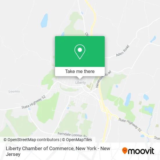
See Liberty Chamber of Commerce, New York - New Jersey, on the map
Public Transit to Liberty Chamber of Commerce in New York - New Jersey
Wondering how to get to Liberty Chamber of Commerce in New York - New Jersey? Moovit helps you find the best way to get to Liberty Chamber of Commerce with step-by-step directions from the nearest public transit station.
Moovit provides free maps and live directions to help you navigate through your city. View schedules, routes, timetables, and find out how long does it take to get to Liberty Chamber of Commerce in real time.
Looking for the nearest stop or station to Liberty Chamber of Commerce? Check out this list of stops closest to your destination: Oberferst St X Darbee Lane; N. Main St - St. Peters Church; Main St - Liberty Cache; 76 S. Main St - Liberty.
Bus: B, S, A, C, E, SHORTLINE HUDSON, SHORTLINE HUDSON.
Want to see if there’s another route that gets you there at an earlier time? Moovit helps you find alternative routes or times. Get directions from and directions to Liberty Chamber of Commerce easily from the Moovit App or Website.
We make riding to Liberty Chamber of Commerce easy, which is why over 1.5 million users, including users in New York - New Jersey, trust Moovit as the best app for public transit. You don’t need to download an individual bus app or train app, Moovit is your all-in-one transit app that helps you find the best bus time or train time available.
For information on prices of bus and train, costs and ride fares to Liberty Chamber of Commerce, please check the Moovit app.
Use the app to navigate to popular places including to the airport, hospital, stadium, grocery store, mall, coffee shop, school, college, and university.
Liberty Chamber of Commerce Address: 167 N Main St Liberty, NY 12754 street in New York - New Jersey
- Liberty Baseball,
- Liberty Police Department,
- Libertybiketrail.Org,
- Village of Liberty Police Department,
- Binder Bail Bonds,
- Children's Home Sullivan County,
- Bags for Justice,
- Internal Medicine Hematology and Cancer Care P.C.,
- Nv Health,
- Pankonin Insurance Center,
- A.M. La Hanko Fine Art,
- Town Of Liberty Parks and Recreation Department,
- Lapolt Park,
- Creative Impulse,
- Village of Liberty,
- Western Union,
- Liberty North Main Mobil,
- Exxon,
- Krispy Krunchy Chicken,
- Town of Liberty Parks and Recreation
Places Near Liberty Chamber of Commerce (New York - New Jersey)
- 66 John Street, Manhattan,
- Rockefeller Center, Manhattan,
- San Gennaro Feast, Manhattan,
- 3 Stone St, Manhattan,
- Chinatown, Manhattan,
- 911 Memorial, Manhattan,
- SoHo, Manhattan,
- 376 Hudson Street, Manhattan,
- Times Square, Manhattan,
- Pier 83, Manhattan,
- qqqq, Manhattan,
- 26 Federal Plaza, Manhattan,
- Hudson Yards, Manhattan,
- Mountainside Hospital, Glen Ridge,
- Bellevue Hospital, Manhattan,
- Queens Center Mall, Queens,
- 111 Centre New York City Supreme Court, Manhattan,
- Wall Street, Manhattan,
- Katz's Deli, Manhattan,
- 1 Police Plaza, Manhattan
How to get to popular places in New York - New Jersey with public transit
Get around New York - New Jersey by public transit!
Traveling around New York - New Jersey has never been so easy. See step by step directions as you travel to any attraction, street or major public transit station. View bus and train schedules, arrival times, service alerts and detailed routes on a map, so you know exactly how to get to anywhere in New York - New Jersey.
When traveling to any destination around New York - New Jersey use Moovit's Live Directions with Get Off Notifications to know exactly where and how far to walk, how long to wait for your line, and how many stops are left. Moovit will alert you when it's time to get off — no need to constantly re-check whether yours is the next stop.
Wondering how to use public transit in New York - New Jersey or how to pay for public transit in New York - New Jersey? Moovit public transit app can help you navigate your way with public transit easily, and at minimum cost. It includes public transit fees, ticket prices, and costs. Looking for a map of New York - New Jersey public transit lines? Moovit public transit app shows all public transit maps in New York - New Jersey with all Bus, Train, Subway, Light Rail, Ferry and Cable Car routes and stops on an interactive map.
New York - New Jersey has 6 transit type(s), including: Bus, Train, Subway, Light Rail, Ferry and Cable Car, operated by several transit agencies, including MTA Subway, Metro-North Railroad, LIRR, PATH, MTA New York City Transit - Express routes, MTA Bus, NJ Transit, NYC Ferry, NICE bus, Bee-Line Bus, NJ Transit Rail, Norwalk Transit District, Hartford Line, River Valley Transit and HART