Directions to Lido Dei Pini (Terracina) with public transportation
The following transit lines have routes that pass near Lido Dei Pini
 Bus: COTRAL.
How to get to Lido Dei Pini by bus?
Click on the bus route to see step by step directions with maps, line arrival times and updated time schedules.
From Latina Beach, Latina
116 minFrom Latina Fiori Shopping Center, Latina
97 minFrom Latina Court, Latina
79 minFrom 300 Steps Beach, Gaeta
116 minFrom Sant'Agostino Plain, Gaeta
117 minFrom Temple of Jupiter Anxur, Terracina
55 minFrom Latina Beach, Latina
110 minFrom Tower 8 Orchids - Staircase A, Latina
99 minFrom Santa Maria Goretti Hospital, Latina
79 minFrom Icot Latina, Latina
93 min
Bus stops near Lido Dei Pini in Terracina
- Terracina | Via Pontina Riva Margherite, 10 min walk,VIEW
Bus lines to Lido Dei Pini in Terracina
What are the closest stations to Lido Dei Pini?
The closest stations to Lido Dei Pini are:
- Terracina | Via Pontina Riva Margherite is 714 meters away, 10 min walk.
Which bus line stops near Lido Dei Pini?
COTRAL (Latina Bus Terminal→Terracina Railway Station)
What’s the nearest bus station to Lido Dei Pini in Terracina?
The nearest bus station to Lido Dei Pini in Terracina is Terracina | Via Pontina Riva Margherite. It’s a 10 min walk away.
What time is the first bus to Lido Dei Pini in Terracina?
The COTRAL is the first bus that goes to Lido Dei Pini in Terracina. It stops nearby at 7:27 AM.
What time is the last bus to Lido Dei Pini in Terracina?
The D is the last bus that goes to Lido Dei Pini in Terracina. It stops nearby at 8:40 PM.
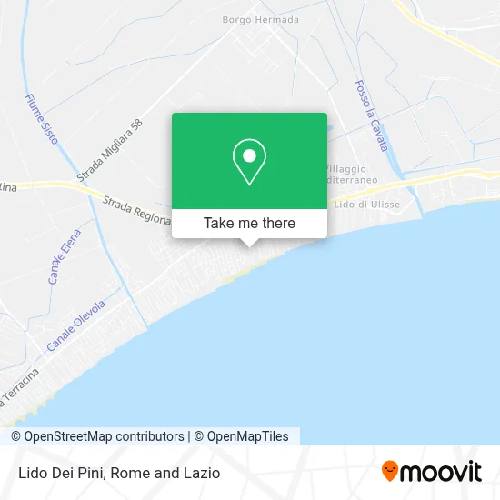
See Lido Dei Pini, Terracina, on the map
Public Transit to Lido Dei Pini in Terracina
Wondering how to get to Lido Dei Pini in Terracina? Moovit helps you find the best way to get to Lido Dei Pini with step-by-step directions from the nearest public transit station.
Moovit provides free maps and live directions to help you navigate through your city. View schedules, routes, timetables, and find out how long does it take to get to Lido Dei Pini in real time.
Looking for the nearest stop or station to Lido Dei Pini? Check out this list of stops closest to your destination: Terracina | Via Pontina Riva Margherite.
Bus: COTRAL.
Want to see if there’s another route that gets you there at an earlier time? Moovit helps you find alternative routes or times. Get directions from and directions to Lido Dei Pini easily from the Moovit App or Website.
We make riding to Lido Dei Pini easy, which is why over 1.5 million users, including users in Terracina, trust Moovit as the best app for public transit. You don’t need to download an individual bus app or train app, Moovit is your all-in-one transit app that helps you find the best bus time or train time available.
For information on prices of bus, costs and ride fares to Lido Dei Pini, please check the Moovit app.
Use the app to navigate to popular places including to the airport, hospital, stadium, grocery store, mall, coffee shop, school, college, and university.
Location: Terracina, Rome and Lazio
- Giove Beach,
- Circeo Wave,
- Residence Terra Salute Terracina,
- Telma Hotel,
- Albasol Street-Weekend,
- Conad Comodo Bistro,
- Pontine Highway SS 148 km103.300,
- Cestra Sergio,
- Corona Hotel - Locanda di Mezzo Restaurant,
- Nine Pearls Zodiac Villas,
- Two Palms Pizzeria,
- Reclamation Consortium N.5,
- Italcanada Beach Establishment,
- Bar Ciao 90,
- Sisto Riverbank,
- Two Palms Bzr,
- Blue Beach,
- Circeo Beach / Pontina Road,
- Recchiuti Angela,
- I.V.R. Recreational Vehicles Industry
Places Near Lido Dei Pini (Terracina)
- Cristo Re Hospital, Roma,
- Paths, Roma,
- Termini Station, Roma,
- Sandro Pertini Hospital, Roma,
- The Sail, Roma,
- Tor Vergata, Roma,
- Gemelli Polyclinic, Roma,
- Santa Maria Maggiore, Roma,
- Gravity, Roma,
- Auditorium Music Park, Roma,
- Roma Est Shopping Center, Roma,
- IDI (Dermopatico Dell'Immacolata Institute), Roma,
- Coppedè Quarter, Roma,
- Villa Borghese, Roma,
- The Wow Side, Fiumicino,
- Olympic Stadium, Rome, Roma,
- Casilino Polyclinic, Roma,
- Trastevere Quarter, Roma,
- Tiber Island, Roma,
- Scuderie Del Quirinale, Roma
How to get to popular places in Rome and Lazio with public transit
Get around Terracina by public transit!
Traveling around Terracina has never been so easy. See step by step directions as you travel to any attraction, street or major public transit station. View bus and train schedules, arrival times, service alerts and detailed routes on a map, so you know exactly how to get to anywhere in Terracina.
When traveling to any destination around Terracina use Moovit's Live Directions with Get Off Notifications to know exactly where and how far to walk, how long to wait for your line, and how many stops are left. Moovit will alert you when it's time to get off — no need to constantly re-check whether yours is the next stop.
Wondering how to use public transit in Terracina or how to pay for public transit in Terracina? Moovit public transit app can help you navigate your way with public transit easily, and at minimum cost. It includes public transit fees, ticket prices, and costs. Looking for a map of Terracina public transit lines? Moovit public transit app shows all public transit maps in Terracina with all Bus, Train, Metro, Light Rail, Ferry, Funicular and Gondola routes and stops on an interactive map.
Rome and Lazio has 7 transit type(s), including: Bus, Train, Metro, Light Rail, Ferry, Funicular and Gondola, operated by several transit agencies, including ATAC, Cotral, Trenitalia, Troiani Transportation Services, BIS, ATR Mobility, Tuscia, Shuttle, Seatour, Troiani Bus Lines, CSC Mobility, Terravision, ATRAL, Tambus and Sitbus