How to get to Lifebridge Red Run by bus?
Click on the bus route to see step by step directions with maps, line arrival times and updated time schedules.
From Pimlico Race Course, Baltimore
61 minFrom Sinai Hospital, Baltimore
76 minFrom Mva, Baltimore
42 minFrom I-695 @ Exit 18 (Liberty Rd/MD 26), Baltimore County
74 minFrom Johns Hopkins Medicine at Green Spring Station, Baltimore County
103 minFrom Baltimore Poly Tech High School, Baltimore
76 minFrom Reisterstown Road Plaza, Baltimore
37 minFrom I-70 at Security Blvd Baltimore City Lot Park & Ride, Baltimore
98 minFrom I-83 Exit 16 (Timonium Road), Baltimore County
123 minFrom I-695 @ Exit 17 (Security Blvd/MD 122), Baltimore County
74 min
How to get to Lifebridge Red Run by metro?
Click on the metro route to see step by step directions with maps, line arrival times and updated time schedules.
Bus stop near Lifebridge Red Run in Baltimore County
- Painters Mill Rd & Red Run Blvd FS Eb, 9 min walk,VIEW
Metro station near Lifebridge Red Run in Baltimore County
- Owings Mills Metro, 19 min walk,VIEW
What are the closest stations to Lifebridge Red Run?
The closest stations to Lifebridge Red Run are:
- Painters Mill Rd & Red Run Blvd FS Eb is 712 yards away, 9 min walk.
- Owings Mills Metro is 1612 yards away, 19 min walk.
Which bus lines stop near Lifebridge Red Run?
These bus lines stop near Lifebridge Red Run: 87, 89.
Which metro line stops near Lifebridge Red Run?
METRO (Towards Owing Mills)
What’s the nearest metro station to Lifebridge Red Run in Baltimore County?
The nearest metro station to Lifebridge Red Run in Baltimore County is Owings Mills Metro. It’s a 19 min walk away.
What’s the nearest bus station to Lifebridge Red Run in Baltimore County?
The nearest bus station to Lifebridge Red Run in Baltimore County is Painters Mill Rd & Red Run Blvd FS Eb. It’s a 9 min walk away.
What time is the first metro to Lifebridge Red Run in Baltimore County?
The METRO is the first metro that goes to Lifebridge Red Run in Baltimore County. It stops nearby at 4:28 AM.
What time is the last metro to Lifebridge Red Run in Baltimore County?
The METRO is the last metro that goes to Lifebridge Red Run in Baltimore County. It stops nearby at 12:31 AM.
What time is the first bus to Lifebridge Red Run in Baltimore County?
The 87 is the first bus that goes to Lifebridge Red Run in Baltimore County. It stops nearby at 3:59 AM.
What time is the last bus to Lifebridge Red Run in Baltimore County?
The 89 is the last bus that goes to Lifebridge Red Run in Baltimore County. It stops nearby at 1:00 AM.
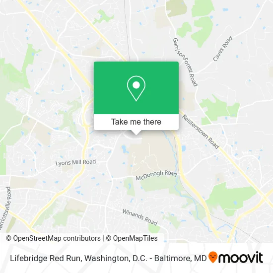
See Lifebridge Red Run, Baltimore County, on the map
Public Transit to Lifebridge Red Run in Baltimore County
Wondering how to get to Lifebridge Red Run in Baltimore County? Moovit helps you find the best way to get to Lifebridge Red Run with step-by-step directions from the nearest public transit station.
Moovit provides free maps and live directions to help you navigate through your city. View schedules, routes, timetables, and find out how long does it take to get to Lifebridge Red Run in real time.
Looking for the nearest stop or station to Lifebridge Red Run? Check out this list of stops closest to your destination: Painters Mill Rd & Red Run Blvd FS Eb; Owings Mills Metro.
Bus: 87, 89.Metro: METRO.
Want to see if there’s another route that gets you there at an earlier time? Moovit helps you find alternative routes or times. Get directions from and directions to Lifebridge Red Run easily from the Moovit App or Website.
We make riding to Lifebridge Red Run easy, which is why over 1.5 million users, including users in Baltimore County, trust Moovit as the best app for public transit. You don’t need to download an individual bus app or train app, Moovit is your all-in-one transit app that helps you find the best bus time or train time available.
For information on prices of bus, metro and light rail, costs and ride fares to Lifebridge Red Run, please check the Moovit app.
Use the app to navigate to popular places including to the airport, hospital, stadium, grocery store, mall, coffee shop, school, college, and university.
Lifebridge Red Run Address: 10090 Red Run Blvd Owings Mills, MD 21117 street in Baltimore County
- Alek Repair Garage Door Openers,
- Donadio Insurance Group,
- Amit Desai at Guaranteed Rate,
- Baltimore District Zionist Foundation,
- Who A Staffing Company,
- Associates NH,
- Greenberg Gibbons Commercial,
- White Marlin Mall,
- Workers United,
- CGM Labdaq,
- Eisneramper,
- The Prosperity Consulting Group, LLC,
- PAINTERS MILL RD RED RUN BLVD wb,
- Owings Mills Metro Station,
- Painters Mill Rd and Red Run,
- Painters Mill Rd Locksmith Company,
- STARBUCKS,
- M&T Bank,
- Marriott Owings Mills Metro Centre,
- Blink Charging
Places Near Lifebridge Red Run (Baltimore County)
- National Museum of African American History and Culture, Washington,
- National Zoo, Washington,
- National Mall, Washington,
- Marriott Marquis Washington, DC, Washington,
- Rock Creek Tennis Center, Washington,
- Westfield Montgomery Mall, Montgomery County,
- Washington National Cathedral, Washington,
- Pennsylvania Ave NW (3rd st and pennsylvania), Washington,
- Warner Theatre, Washington,
- PG Mall, Prince George's County,
- Washington DC VA Medical Center, Washington,
- Amazon Hq2, Arlington County,
- Georgetown, Washington,
- M&T Bank Stadium, Baltimore,
- Capital One Arena, Washington,
- Camden Yards, Baltimore,
- Basilica of the National Shrine, Washington,
- The Anthem, Washington,
- Museum Of The Bible, Washington,
- Sibley Memorial Hospital, Washington
How to get to popular places in Washington, D.C. - Baltimore, MD with public transit
Get around Baltimore County by public transit!
Traveling around Baltimore County has never been so easy. See step by step directions as you travel to any attraction, street or major public transit station. View bus and train schedules, arrival times, service alerts and detailed routes on a map, so you know exactly how to get to anywhere in Baltimore County.
When traveling to any destination around Baltimore County use Moovit's Live Directions with Get Off Notifications to know exactly where and how far to walk, how long to wait for your line, and how many stops are left. Moovit will alert you when it's time to get off — no need to constantly re-check whether yours is the next stop.
Wondering how to use public transit in Baltimore County or how to pay for public transit in Baltimore County? Moovit public transit app can help you navigate your way with public transit easily, and at minimum cost. It includes public transit fees, ticket prices, and costs. Looking for a map of Baltimore County public transit lines? Moovit public transit app shows all public transit maps in Baltimore County with all Bus, Train, Metro, Light Rail and Ferry routes and stops on an interactive map.
Washington, D.C. - Baltimore, MD has 5 transit type(s), including: Bus, Train, Metro, Light Rail and Ferry, operated by several transit agencies, including WMATA, Montgomery County Ride On, Fairfax Connector, TheBus, PRTC, DASH - Alexandria, Arlington Transit (ART), RTA of Central Maryland, MDOT MTA, MDOT MTA Light RailLink, MDOT MTA Commuter Bus, MDOT MTA Local Bus, FXBGO!, Virginia Railway Express (VRE) and MARC