Directions to Liffré with public transportation
The following transit lines have routes that pass near Liffré
 Bus: 70, 94, 51.
Bus stop near Liffré
- Cropy, 84 min walk,
Bus lines to Liffré
- 51, Betton - Chevaigné - Saint-Sulpice-La-Forêt,
- 70, Saint-Sulpice-La-Forêt,
- 94, Betton Centre,
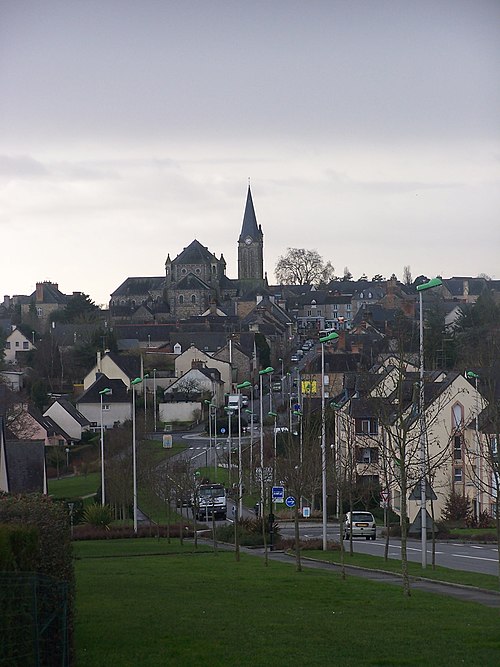
Liffré (French pronunciation: [lifʁe]; Breton: Liverieg; Gallo: Lifrei) is a commune in the Ille-et-Vilaine department in Brittany in northwestern France. It is in the center of the region.Wiki
- Aire de Jeux,
- Karaté Club de Rennes,
- Once upon a Pa,
- Saint-Sulpice-La-Forêt,
- Toitures Gf,
- Amicia,
- Rj Sculpture,
- Saint-Denis,
- Stephan le Chatrejane,
- Ap Energies,
- Mennesson Arnaud Jean-Paul Michel,
- Le Tronchay,
- Karaté Club de Rennes,
- PC Habitat,
- Épargé,
- Carrefour De La Petite Lune,
- Cwr Fforest,
- Coeur Chapeau,
- Stade De Poprune,
- Jp2a
Places Near Liffré
- Préfecture, Rennes,
- Hôpital Sud, Rennes,
- CHP Saint-Grégoire, Saint-Grégoire,
- Braderie Saint Martin, Rennes,
- Route de Lorient, Rennes,
- Centre Leclerc Cleunay, Rennes,
- E.Leclerc Cleunay, Rennes,
- Hôpital Privé Sévigné, Cesson-Sévigné,
- Étangs d'Apigné, Rennes,
- Polyclinique Cesson Sevigne, Cesson-Sévigné,
- Grand Quartier, Rennes,
- Lycée Ozanam, Cesson-Sévigné,
- CENTRE COMMERCIAL ALMA, Rennes,
- Polyclinique Saint-Laurent, Rennes,
- Lycée Brequigny, Rennes,
- Ikea Rennes - Pacé, Pacé,
- Centre Hospitalier Guillaume Régnier, Rennes,
- Clinique la Sagesse, Rennes,
- Hôpital Pontchaillou, Rennes,
- La Mézière, Rennes
How to get to popular places in Rennes with public transit
What are the closest stations to Liffré?
The closest stations to Liffré are:
- Cropy stop is 6506 meters away, 84 min walk.
Which bus lines stop near Liffré?
These bus lines stop near Liffré: 70, 94.
See Liffré on the map
Public Transportation to Liffré
Wondering how to get to Liffré? Moovit helps you find the best way to get to Liffré with step-by-step directions from the nearest public transit station.
Moovit provides free maps and live directions to help you navigate through your city. View schedules, routes, timetables, and find out how long does it take to get to Liffré in real time.
Looking for the nearest stop or station to Liffré? Check out this list of stops closest to your destination: Cropy.
Bus: 70, 94, 51.
Want to see if there’s another route that gets you there at an earlier time? Moovit helps you find alternative routes or times. Get directions from and directions to Liffré easily from the Moovit App or Website.
We make riding to Liffré easy, which is why over 1.7 billion users, including users in Liffré, trust Moovit as the best app for public transit. You don’t need to download an individual bus app or train app, Moovit is your all-in-one transit app that helps you find the best bus time or train time available.
For information on prices of bus and metro, costs and ride fares to Liffré, please check the Moovit app.
Use the app to navigate to popular places including to the airport, hospital, stadium, grocery store, mall, coffee shop, school, college, and university.
Location: Liffré, Rennes
Get around Liffré by public transit!
Traveling around Liffré has never been so easy. See step by step directions as you travel to any attraction, street or major public transit station. View bus and train schedules, arrival times, service alerts and detailed routes on a map, so you know exactly how to get to anywhere in Liffré.
When traveling to any destination around Liffré use Moovit's Live Directions with Get Off Notifications to know exactly where and how far to walk, how long to wait for your line, and how many stops are left. Moovit will alert you when it's time to get off — no need to constantly re-check whether yours is the next stop.
Wondering how to use public transit in Liffré or how to pay for public transit in Liffré? Moovit public transit app can help you navigate your way with public transit easily, and at minimum cost. It includes public transit fees, ticket prices, and costs. Looking for a map of Liffré public transit lines? Moovit public transit app shows all public transit maps in Liffré with all Bus, Train and Metro routes and stops on an interactive map.
Rennes has 3 transit type(s), including: Bus, Train and Metro, operated by several transit agencies, including STAR, OCEdefault and SNCF VOYAGEURS