How to get to Lilly Catering & Events by bus?
Click on the bus route to see step by step directions with maps, line arrival times and updated time schedules.
From Suncoast High School, Riviera Beach
46 minFrom Good Samaritan Hospital, West Palm Beach
65 minFrom Congress/45th Street, West Palm Beach
63 minFrom I-95, West Palm Beach
69 minFrom Inlet Grove Community High School, Riviera Beach
42 minFrom Brightline, West Palm Beach
72 minFrom Magnolia Park, West Palm Beach
69 minFrom Tanger Outlets Palm Beach, West Palm Beach
96 minFrom Palm Beach Outlets, West Palm Beach
96 minFrom Saint Marys Hospital, West Palm Beach
61 min
Bus stops near Lilly Catering & Events in Riviera Beach
Bus lines to Lilly Catering & Events in Riviera Beach
What are the closest stations to Lilly Catering & Events?
The closest stations to Lilly Catering & Events are:
- PGA BLVD at FAIRCHILD GARDENS AVE is 347 yards away, 5 min walk.
- GARDENS E DR at TALL OAKS DR is 735 yards away, 9 min walk.
Which bus lines stop near Lilly Catering & Events?
These bus lines stop near Lilly Catering & Events: 3, 33.
What’s the nearest bus station to Lilly Catering & Events in Riviera Beach?
The nearest bus station to Lilly Catering & Events in Riviera Beach is PGA BLVD at FAIRCHILD GARDENS AVE. It’s a 5 min walk away.
What time is the first bus to Lilly Catering & Events in Riviera Beach?
The 3 is the first bus that goes to Lilly Catering & Events in Riviera Beach. It stops nearby at 5:17 AM.
What time is the last bus to Lilly Catering & Events in Riviera Beach?
The 3 is the last bus that goes to Lilly Catering & Events in Riviera Beach. It stops nearby at 9:38 PM.
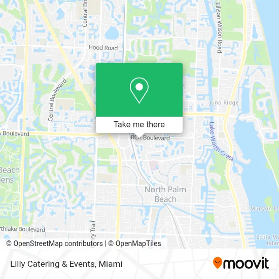
See Lilly Catering & Events, Riviera Beach, on the map
Public Transit to Lilly Catering & Events in Riviera Beach
Wondering how to get to Lilly Catering & Events in Riviera Beach? Moovit helps you find the best way to get to Lilly Catering & Events with step-by-step directions from the nearest public transit station.
Moovit provides free maps and live directions to help you navigate through your city. View schedules, routes, timetables, and find out how long does it take to get to Lilly Catering & Events in real time.
Looking for the nearest stop or station to Lilly Catering & Events? Check out this list of stops closest to your destination: PGA BLVD at FAIRCHILD GARDENS AVE; GARDENS E DR at TALL OAKS DR.
Bus: 3, 33.
Want to see if there’s another route that gets you there at an earlier time? Moovit helps you find alternative routes or times. Get directions from and directions to Lilly Catering & Events easily from the Moovit App or Website.
We make riding to Lilly Catering & Events easy, which is why over 1.7 million users, including users in Riviera Beach, trust Moovit as the best app for public transit. You don’t need to download an individual bus app or train app, Moovit is your all-in-one transit app that helps you find the best bus time or train time available.
For information on prices of bus, costs and ride fares to Lilly Catering & Events, please check the Moovit app.
Use the app to navigate to popular places including to the airport, hospital, stadium, grocery store, mall, coffee shop, school, college, and university.
Lilly Catering & Events Address: 3660 RCA Blvd street in Riviera Beach
- Palm Beach Gardens Medical Center,
- North County Courthouse - Palm Beach County,
- The Gardens (Gardens Mall),
- Palm Beach State College-Palm Beach Gardens,
- Downtown at The Gardens,
- Palm Beach Gardens,
- Gardens Mall TRM @ Sears TRM (The Gardens Mall - Palm Beach Gardens),
- Hl Watkins Middle School (Howell L Watkins Middle School),
- King's Academy Preschool (The King's Academy Pre-School),
- Lake Park,
- Evelyn-Palm Beach Hair Salon,
- William T Dwyer High,
- Palm Beach Gardens Fl,
- Michael Onorato,
- Bordeaux Ct,
- Palm Beach Gardens, FL 33410,
- United Healthcare,
- Evergrene,
- Dreamscapes of Belize,
- Fpl / Juno Beach 06
Places Near Lilly Catering & Events (Riviera Beach)
- Dolphin Mall, Miami,
- Brickell City Centre, Miami,
- Miami-Dade County Courthouse, Miami,
- Sawgrass mall ( FL ), Miami Beach,
- Zoo Miami, Miami,
- Aventura Mall, Miami,
- Port of Miami Cruise Terminal, Miami,
- Little Havana, Miami,
- Hard Rock Stadium, Miami Gardens,
- Dolphin Mall Bus, Miami,
- Miami Freedom Park, Miami,
- Miami VA Hospital, Miami,
- Aventura Mall, Miami Beach,
- Keiser University Flagship Campus, West Palm Beach,
- Wynwood, Miami,
- Sawgrass Mall, Miami,
- Richard E. Gerstein Justice Building, Miami,
- Marlins Park, Miami,
- Bayside Marketplace, Miami,
- Miami Design District, Miami
How to get to popular places in Miami with public transit
Get around Riviera Beach by public transit!
Traveling around Riviera Beach has never been so easy. See step by step directions as you travel to any attraction, street or major public transit station. View bus and train schedules, arrival times, service alerts and detailed routes on a map, so you know exactly how to get to anywhere in Riviera Beach.
When traveling to any destination around Riviera Beach use Moovit's Live Directions with Get Off Notifications to know exactly where and how far to walk, how long to wait for your line, and how many stops are left. Moovit will alert you when it's time to get off — no need to constantly re-check whether yours is the next stop.
Wondering how to use public transit in Riviera Beach or how to pay for public transit in Riviera Beach? Moovit public transit app can help you navigate your way with public transit easily, and at minimum cost. It includes public transit fees, ticket prices, and costs. Looking for a map of Riviera Beach public transit lines? Moovit public transit app shows all public transit maps in Riviera Beach with all Bus, Train, Light Rail and Ferry routes and stops on an interactive map.
Miami has 4 transit type(s), including: Bus, Train, Light Rail and Ferry, operated by several transit agencies, including Broward County Transit, Miami-Dade Transit, Metrorail, Palm Tran, Tri-Rail, Brightline, MARTY, City of Homestead Trolley, Key West Transit, Treasure Coast Connector, GoLine IRT, Amtrak, Greyhound-us, FlixBus-us and Aventura Express Shuttle Bus