Directions to Lilly's Place Assisted Living (Anne Arundel County) with public transportation
The following transit lines have routes that pass near Lilly's Place Assisted Living
 Bus: 69, 70, SHUTTLE.
- Light Rail: LIGHT RAILLINK.
How to get to Lilly's Place Assisted Living by bus?
Click on the bus route to see step by step directions with maps, line arrival times and updated time schedules.
From Port of Baltimore - Cruise Maryland Terminal, Baltimore
80 minFrom Archbishop Spalding High School, Severn
61 minFrom Horseshoe Baltimore, Baltimore
83 minFrom Maryland Live! Casino, Anne Arundel County
67 minFrom University Of Maryland Baltimore (Umbc), Baltimore County
115 minFrom MD Live Casino Arundel Mills, Anne Arundel County
63 minFrom Horseshoe Casino Baltimore, Baltimore
83 minFrom Walmart, Baltimore County
78 minFrom Maryland, Baltimore
78 minFrom Topgolf, Baltimore
87 min
Light Rail stations near Lilly's Place Assisted Living in Anne Arundel County
- Bwi Business District, 12 min walk,VIEW
What are the closest stations to Lilly's Place Assisted Living?
The closest stations to Lilly's Place Assisted Living are:
- Bwi Business District is 945 yards away, 12 min walk.
Which bus lines stop near Lilly's Place Assisted Living?
These bus lines stop near Lilly's Place Assisted Living: 69, 70, SHUTTLE.
Which light rail line stops near Lilly's Place Assisted Living?
LIGHT RAILLINK (Soutbound)
What’s the nearest light rail station to Lilly's Place Assisted Living in Anne Arundel County?
The nearest light rail station to Lilly's Place Assisted Living in Anne Arundel County is Bwi Business District. It’s a 12 min walk away.
What time is the first light rail to Lilly's Place Assisted Living in Anne Arundel County?
The LIGHT RAILLINK is the first light rail that goes to Lilly's Place Assisted Living in Anne Arundel County. It stops nearby at 4:32 AM.
What time is the last light rail to Lilly's Place Assisted Living in Anne Arundel County?
The LIGHT RAILLINK is the last light rail that goes to Lilly's Place Assisted Living in Anne Arundel County. It stops nearby at 12:48 AM.
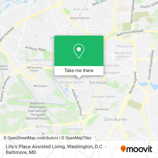
See Lilly's Place Assisted Living, Anne Arundel County, on the map
Public Transit to Lilly's Place Assisted Living in Anne Arundel County
Wondering how to get to Lilly's Place Assisted Living in Anne Arundel County? Moovit helps you find the best way to get to Lilly's Place Assisted Living with step-by-step directions from the nearest public transit station.
Moovit provides free maps and live directions to help you navigate through your city. View schedules, routes, timetables, and find out how long does it take to get to Lilly's Place Assisted Living in real time.
Looking for the nearest stop or station to Lilly's Place Assisted Living? Check out this list of stops closest to your destination: Bwi Business District.
Bus: 69, 70, SHUTTLE.Light Rail: LIGHT RAILLINK.
Want to see if there’s another route that gets you there at an earlier time? Moovit helps you find alternative routes or times. Get directions from and directions to Lilly's Place Assisted Living easily from the Moovit App or Website.
We make riding to Lilly's Place Assisted Living easy, which is why over 1.7 million users, including users in Anne Arundel County, trust Moovit as the best app for public transit. You don’t need to download an individual bus app or train app, Moovit is your all-in-one transit app that helps you find the best bus time or train time available.
For information on prices of bus and light rail, costs and ride fares to Lilly's Place Assisted Living, please check the Moovit app.
Use the app to navigate to popular places including to the airport, hospital, stadium, grocery store, mall, coffee shop, school, college, and university.
Lilly's Place Assisted Living Address: 228 Ferndale Rd street in Anne Arundel County
- MD-648 (SH-648),
- I-97 Exit 16 (Baltimore Annapolis Blvd / MD 648),
- Cromwell Station/Glen Burnie,
- Cromwell Station / Glen Burnie Light Rail Station,
- Cromwell Light Rail Station Bay 2,
- Terminal D - Bwi - Thurgood Marshall Airport,
- US Customs & Border Protection - BWI Airport,
- BWI, American Airlines Gate,
- 8th Avenue Flea Market,
- Bradford Airport Logistics,
- Sawmill Skate Park,
- Baltimore / Washington International Thurgood Marshall Airport (BWI),
- Linthicum Community Library: Anne Arundel County Public Library (AACPL),
- Phillips Seafood,
- Pinkberry,
- Frontier Airlines Ticket Counter - BWI,
- SP+ Parking @ BWI Hourly Airport Garage,
- BWI SOUTHWEST AIRLINES eb,
- BWI Cargo-North Cargo Complex,
- BWI-Employee Parking
Places Near Lilly's Place Assisted Living (Anne Arundel County)
- Washington National Cathedral, Washington,
- PG Mall, Prince George's County,
- National Zoo, Washington,
- Amazon Hq2, Arlington County,
- Sibley Memorial Hospital, Washington,
- Capital One Arena, Washington,
- Rock Creek Tennis Center, Washington,
- Museum Of The Bible, Washington,
- National Theatre, Washington,
- Camden Yards, Baltimore,
- Marriott Marquis Washington, DC, Washington,
- M&T Bank Stadium, Baltimore,
- Washington DC VA Medical Center, Washington,
- Georgetown, Washington,
- The Anthem, Washington,
- Basilica of the National Shrine, Washington,
- National Museum of African American History and Culture, Washington,
- Pennsylvania Ave NW (3rd st and pennsylvania), Washington,
- Warner Theatre, Washington,
- Westfield Montgomery Mall, Montgomery County
How to get to popular places in Washington, D.C. - Baltimore, MD with public transit
Get around Anne Arundel County by public transit!
Traveling around Anne Arundel County has never been so easy. See step by step directions as you travel to any attraction, street or major public transit station. View bus and train schedules, arrival times, service alerts and detailed routes on a map, so you know exactly how to get to anywhere in Anne Arundel County.
When traveling to any destination around Anne Arundel County use Moovit's Live Directions with Get Off Notifications to know exactly where and how far to walk, how long to wait for your line, and how many stops are left. Moovit will alert you when it's time to get off — no need to constantly re-check whether yours is the next stop.
Wondering how to use public transit in Anne Arundel County or how to pay for public transit in Anne Arundel County? Moovit public transit app can help you navigate your way with public transit easily, and at minimum cost. It includes public transit fees, ticket prices, and costs. Looking for a map of Anne Arundel County public transit lines? Moovit public transit app shows all public transit maps in Anne Arundel County with all Bus, Train, Metro, Light Rail and Ferry routes and stops on an interactive map.
Washington, D.C. - Baltimore, MD has 5 transit type(s), including: Bus, Train, Metro, Light Rail and Ferry, operated by several transit agencies, including WMATA, Montgomery County Ride On, Fairfax Connector, TheBus, PRTC, DASH - Alexandria, Arlington Transit (ART), RTA of Central Maryland, MDOT MTA, MDOT MTA Light RailLink, MDOT MTA Commuter Bus, MDOT MTA Local Bus, FXBGO!, Virginia Railway Express (VRE) and MARC