How to get to Local Lock Smith Service Inc by bus?
Click on the bus route to see step by step directions with maps, line arrival times and updated time schedules.
From Kendall, FL, Kendall-Palmetto Bay
46 minFrom US 1@SW 248 St, Princeton-Goulds
45 minFrom Miami Palmetto Senior High School, Kendall-Palmetto Bay
56 minFrom Baptist Hospital of Miami, Kendall-Palmetto Bay
82 minFrom SW 104th St / US-1, Kendall-Palmetto Bay
46 minFrom Herbert Ammons Middle School, Kendale Lakes-Tamiami
61 minFrom The Falls, Kendall-Palmetto Bay
35 minFrom Baptist Hospital, Kendall-Palmetto Bay
82 minFrom Colombian Massage And Food, Kendall-Palmetto Bay
27 minFrom Miami Cancer Institute, Kendall-Palmetto Bay
99 min
Bus stop near Local Lock Smith Service Inc in Princeton-Goulds
- Caribbean Bd @ Cutler Ridge Dr, 4 min walk,VIEW
Bus lines to Local Lock Smith Service Inc in Princeton-Goulds
What are the closest stations to Local Lock Smith Service Inc?
The closest stations to Local Lock Smith Service Inc are:
- Caribbean Bd @ Cutler Ridge Dr is 276 yards away, 4 min walk.
Which bus lines stop near Local Lock Smith Service Inc?
These bus lines stop near Local Lock Smith Service Inc: 107, 97.
What’s the nearest bus station to Local Lock Smith Service Inc in Princeton-Goulds?
The nearest bus station to Local Lock Smith Service Inc in Princeton-Goulds is Caribbean Bd @ Cutler Ridge Dr. It’s a 4 min walk away.
What time is the first bus to Local Lock Smith Service Inc in Princeton-Goulds?
The 97 is the first bus that goes to Local Lock Smith Service Inc in Princeton-Goulds. It stops nearby at 7:00 AM.
What time is the last bus to Local Lock Smith Service Inc in Princeton-Goulds?
The 97 is the last bus that goes to Local Lock Smith Service Inc in Princeton-Goulds. It stops nearby at 7:40 PM.
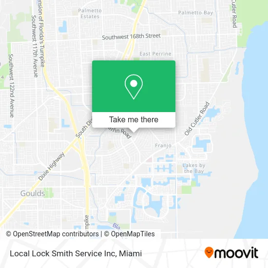
See Local Lock Smith Service Inc, Princeton-Goulds, on the map
Public Transit to Local Lock Smith Service Inc in Princeton-Goulds
Wondering how to get to Local Lock Smith Service Inc in Princeton-Goulds? Moovit helps you find the best way to get to Local Lock Smith Service Inc with step-by-step directions from the nearest public transit station.
Moovit provides free maps and live directions to help you navigate through your city. View schedules, routes, timetables, and find out how long does it take to get to Local Lock Smith Service Inc in real time.
Looking for the nearest stop or station to Local Lock Smith Service Inc? Check out this list of stops closest to your destination: Caribbean Bd @ Cutler Ridge Dr.
Bus: 107, 97, 500.
Want to see if there’s another route that gets you there at an earlier time? Moovit helps you find alternative routes or times. Get directions from and directions to Local Lock Smith Service Inc easily from the Moovit App or Website.
We make riding to Local Lock Smith Service Inc easy, which is why over 1.5 million users, including users in Princeton-Goulds, trust Moovit as the best app for public transit. You don’t need to download an individual bus app or train app, Moovit is your all-in-one transit app that helps you find the best bus time or train time available.
For information on prices of bus, costs and ride fares to Local Lock Smith Service Inc, please check the Moovit app.
Use the app to navigate to popular places including to the airport, hospital, stadium, grocery store, mall, coffee shop, school, college, and university.
Local Lock Smith Service Inc Address: 9520 Thanksgiving Dr Cutler Bay, FL 33157 street in Princeton-Goulds
- Vaylas Gourmet Shaved Ice,
- Copponex Vehicle Insurance Group,
- Our Films,
- Puppy Spa on Wheels,
- Franks Rod and Reel Repair Service,
- Childrens Crime Prevention,
- Aacme Locksmith,
- Lt Express Super P,
- Comfort Air Duct Cleaning,
- Village Church,
- Jsa Systems,
- AJ Used Auto Parts,
- Kralice Bellydance,
- Miami Southridge Senior High School,
- Magnus Security & Communications,
- Miami Tech Solutions,
- Hydra Recovery,
- Contrywide Gold Buyers,
- Teen Nail & Spa,
- American Bronze Tanning & Boutique
Places Near Local Lock Smith Service Inc (Princeton-Goulds)
- Miami Design District, Miami,
- Aventura Mall, Miami Beach,
- Miami-Dade County Courthouse, Miami,
- Sawgrass Mall, Miami,
- Miami Freedom Park, Miami,
- Dolphin Mall, Miami,
- Bayside Marketplace, Miami,
- Hard Rock Stadium, Miami Gardens,
- Port of Miami Cruise Terminal, Miami,
- Sawgrass mall ( FL ), Miami Beach,
- Brickell City Centre, Miami,
- Little Havana, Miami,
- Miami VA Hospital, Miami,
- Aventura Mall, Miami,
- Wynwood, Miami,
- Dolphin Mall Bus, Miami,
- Keiser University Flagship Campus, West Palm Beach,
- Marlins Park, Miami,
- Zoo Miami, Miami,
- Richard E. Gerstein Justice Building, Miami
How to get to popular places in Miami with public transit
Get around Princeton-Goulds by public transit!
Traveling around Princeton-Goulds has never been so easy. See step by step directions as you travel to any attraction, street or major public transit station. View bus and train schedules, arrival times, service alerts and detailed routes on a map, so you know exactly how to get to anywhere in Princeton-Goulds.
When traveling to any destination around Princeton-Goulds use Moovit's Live Directions with Get Off Notifications to know exactly where and how far to walk, how long to wait for your line, and how many stops are left. Moovit will alert you when it's time to get off — no need to constantly re-check whether yours is the next stop.
Wondering how to use public transit in Princeton-Goulds or how to pay for public transit in Princeton-Goulds? Moovit public transit app can help you navigate your way with public transit easily, and at minimum cost. It includes public transit fees, ticket prices, and costs. Looking for a map of Princeton-Goulds public transit lines? Moovit public transit app shows all public transit maps in Princeton-Goulds with all Bus, Train, Light Rail and Ferry routes and stops on an interactive map.
Miami has 4 transit type(s), including: Bus, Train, Light Rail and Ferry, operated by several transit agencies, including Broward County Transit, Miami-Dade Transit, Metrorail, Palm Tran, Tri-Rail, Brightline, MARTY, City of Homestead Trolley, Key West Transit, Treasure Coast Connector, GoLine IRT, Amtrak, Greyhound-us, FlixBus-us and Aventura Express Shuttle Bus