How to get to Local Poubelles by bus?
Click on the bus route to see step by step directions with maps, line arrival times and updated time schedules.
From Tours in Champagne - Stéphane Demissy, Sillery
44 minFrom Kiabi, Reims
49 minFrom Photo Mathieu, Reims
44 minFrom Spirit S Art, Sillery
47 minFrom Feifei, Reims
36 minFrom Carrosserie Dufils, Reims
49 minFrom Le Relais de, Sillery
53 minFrom E. Leclerc Drive, Reims
45 minFrom Relais Nautique, Sillery
44 minFrom Mousse Pierre, Sillery
43 min
Bus stops near Local Poubelles in Reims
Bus lines to Local Poubelles in Reims
What are the closest stations to Local Poubelles?
The closest stations to Local Poubelles are:
- Campus Crx Rouge is 257 meters away, 4 min walk.
- Sculpt. Jacques is 395 meters away, 6 min walk.
- Lavoisier is 441 meters away, 6 min walk.
- Dunkerque is 719 meters away, 10 min walk.
- Marchandeau is 784 meters away, 11 min walk.
Which bus line stops near Local Poubelles?
U5 (Croix Du Sud)
Which light rail line stops near Local Poubelles?
TRAM (Gare Champ. Tgv)
What’s the nearest bus station to Local Poubelles in Reims?
The nearest bus station to Local Poubelles in Reims is Campus Crx Rouge. It’s a 4 min walk away.
What time is the first light rail to Local Poubelles in Reims?
The TRAM is the first light rail that goes to Local Poubelles in Reims. It stops nearby at 5:05 AM.
What time is the last light rail to Local Poubelles in Reims?
The TRAM is the last light rail that goes to Local Poubelles in Reims. It stops nearby at 1:07 AM.
What time is the first bus to Local Poubelles in Reims?
The U9 is the first bus that goes to Local Poubelles in Reims. It stops nearby at 5:30 AM.
What time is the last bus to Local Poubelles in Reims?
The U9 is the last bus that goes to Local Poubelles in Reims. It stops nearby at 12:31 AM.
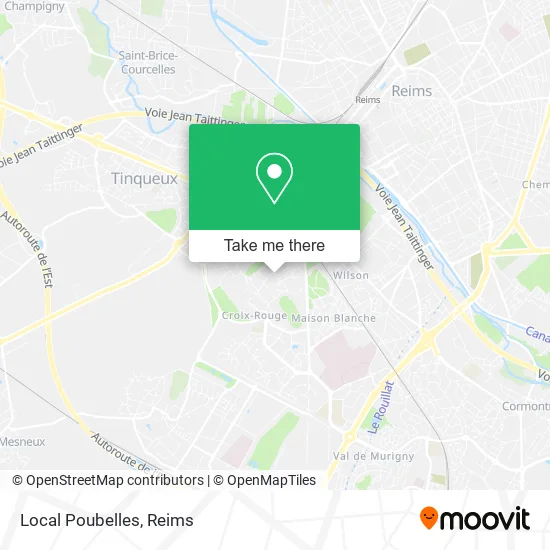
See Local Poubelles, Reims, on the map
Public Transit to Local Poubelles in Reims
Wondering how to get to Local Poubelles in Reims? Moovit helps you find the best way to get to Local Poubelles with step-by-step directions from the nearest public transit station.
Moovit provides free maps and live directions to help you navigate through your city. View schedules, routes, timetables, and find out how long does it take to get to Local Poubelles in real time.
Looking for the nearest stop or station to Local Poubelles? Check out this list of stops closest to your destination: Campus Crx Rouge; Sculpt. Jacques; Lavoisier; Dunkerque; Marchandeau.
Bus: U5, TRAM, U8, 24, U7, U9.Light Rail: TRAM.
Want to see if there’s another route that gets you there at an earlier time? Moovit helps you find alternative routes or times. Get directions from and directions to Local Poubelles easily from the Moovit App or Website.
We make riding to Local Poubelles easy, which is why over 1.5 million users, including users in Reims, trust Moovit as the best app for public transit. You don’t need to download an individual bus app or train app, Moovit is your all-in-one transit app that helps you find the best bus time or train time available.
For information on prices of bus and light rail, costs and ride fares to Local Poubelles, please check the Moovit app.
Use the app to navigate to popular places including to the airport, hospital, stadium, grocery store, mall, coffee shop, school, college, and university.
Local Poubelles Address: Rue François Legros 51100 Reims street in Reims
- Fei Fei,
- 45-57, Esplanade Général Eisenhower,
- La Poste - Centre d'Examens du Code de la Route,
- Carrelage Murat,
- Tour Du Général Eisenhower,
- Maison De Quartier Croix-Rouge - Espace Billard,
- Verzy,
- Collège François Legros,
- 14 Rue Pierre Taittinger Parking,
- La Maison Martin,
- Centre Commercial De L'Hippodrome,
- Pharmacie De L'Hippodrome,
- Square Dr Billard,
- Triolet Jacques,
- Kern Serge,
- Boucherie Hippodrome,
- One Tacos Reims,
- Market,
- Pharmacie Fége Xavier,
- Primeurs Numidia
Places Near Local Poubelles (Reims)
- Campus Croix Rouge, Reims,
- Carrefour, Tinqueux,
- Gare Tgv, Bezannes,
- Leclerc, Saint-Brice-Courcelles,
- St Remi, Reims,
- Parc Des Expositions, Reims,
- Tinqueux, Tinqueux,
- La Neuvillette, Reims,
- Hôpital Debré, Reims,
- Cormontreuil, Reims,
- CHU, Reims,
- E. Leclerc Champfleury, Champfleury,
- Moulin De La Housse, Reims,
- Hôpital Maison Blanche, Reims,
- Parc de Champagne, Reims,
- Ikea, Thillois,
- Croix Blandin, Reims,
- Bétheny, Bétheny,
- Bezannes, Bezannes,
- Polyclinique Reims Bezannes, Bezannes
How to get to popular places in Reims with public transit
Get around Reims by public transit!
Traveling around Reims has never been so easy. See step by step directions as you travel to any attraction, street or major public transit station. View bus and train schedules, arrival times, service alerts and detailed routes on a map, so you know exactly how to get to anywhere in Reims.
When traveling to any destination around Reims use Moovit's Live Directions with Get Off Notifications to know exactly where and how far to walk, how long to wait for your line, and how many stops are left. Moovit will alert you when it's time to get off — no need to constantly re-check whether yours is the next stop.
Wondering how to use public transit in Reims or how to pay for public transit in Reims? Moovit public transit app can help you navigate your way with public transit easily, and at minimum cost. It includes public transit fees, ticket prices, and costs. Looking for a map of Reims public transit lines? Moovit public transit app shows all public transit maps in Reims with all Bus and Light Rail routes and stops on an interactive map.
Reims has 2 transit type(s), including: Bus and Light Rail, operated by several transit agencies, including Transdev Reims