How to get to Lockfield Commons by bus?
Click on the bus route to see step by step directions with maps, line arrival times and updated time schedules.
From 21st & Arlington Ave., Indianapolis City (Balance)
59 minFrom Cat, Indianapolis City (Balance)
67 minFrom Pronto Taco, Beech Grove
65 minFrom Messiah Cares Child Development Center, Indianapolis City (Balance)
49 minFrom Elevated Esthetics Relax and Rejuvenate, Indianapolis City (Balance)
43 minFrom E Thompson Rd / S Shelby St, Indianapolis City (Balance)
65 minFrom 37 Place Community Center, Indianapolis City (Balance)
35 minFrom Abelard, Frank Photography, Indianapolis City (Balance)
70 minFrom Keystone Avenue Exit, Indianapolis City (Balance)
61 minFrom Excel Center, Indianapolis City (Balance)
43 min
Bus stops near Lockfield Commons in Indianapolis City (Balance)
Bus lines to Lockfield Commons in Indianapolis City (Balance)
What are the closest stations to Lockfield Commons?
The closest stations to Lockfield Commons are:
- Indiana Ave & Blake St is 96 yards away, 2 min walk.
- Dr. Mlk Jr. St & Saint Clair St is 657 yards away, 8 min walk.
- Michigan St & University Blvd is 880 yards away, 11 min walk.
Which bus lines stop near Lockfield Commons?
These bus lines stop near Lockfield Commons: 15, 37, 6.
What’s the nearest bus station to Lockfield Commons in Indianapolis City (Balance)?
The nearest bus station to Lockfield Commons in Indianapolis City (Balance) is Indiana Ave & Blake St. It’s a 2 min walk away.
What time is the first bus to Lockfield Commons in Indianapolis City (Balance)?
The 37 is the first bus that goes to Lockfield Commons in Indianapolis City (Balance). It stops nearby at 4:56 AM.
What time is the last bus to Lockfield Commons in Indianapolis City (Balance)?
The 6 is the last bus that goes to Lockfield Commons in Indianapolis City (Balance). It stops nearby at 11:56 PM.
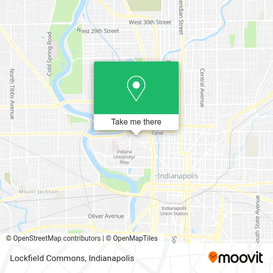
See Lockfield Commons, Indianapolis City (Balance), on the map
Public Transit to Lockfield Commons in Indianapolis City (Balance)
Wondering how to get to Lockfield Commons in Indianapolis City (Balance)? Moovit helps you find the best way to get to Lockfield Commons with step-by-step directions from the nearest public transit station.
Moovit provides free maps and live directions to help you navigate through your city. View schedules, routes, timetables, and find out how long does it take to get to Lockfield Commons in real time.
Looking for the nearest stop or station to Lockfield Commons? Check out this list of stops closest to your destination: Indiana Ave & Blake St; Dr. Mlk Jr. St & Saint Clair St; Michigan St & University Blvd.
Bus: 15, 37, 6, 34, 3, 10.
Want to see if there’s another route that gets you there at an earlier time? Moovit helps you find alternative routes or times. Get directions from and directions to Lockfield Commons easily from the Moovit App or Website.
We make riding to Lockfield Commons easy, which is why over 1.5 million users, including users in Indianapolis City (Balance), trust Moovit as the best app for public transit. You don’t need to download an individual bus app or train app, Moovit is your all-in-one transit app that helps you find the best bus time or train time available.
For information on prices of bus, costs and ride fares to Lockfield Commons, please check the Moovit app.
Use the app to navigate to popular places including to the airport, hospital, stadium, grocery store, mall, coffee shop, school, college, and university.
Lockfield Commons Address: 909 Indiana Ave Indianapolis, IN 46202 street in Indianapolis City (Balance)
- Insomnia Cookies - Iup,
- USPS Collection Box - Blue Box,
- Lockefield Commons Shopping Court,
- TACO BELL,
- Parlor Doughnuts,
- Sexton Apartment Communities,
- IUPUI: Lockefield Building,
- The Genesis Bank,
- Vitacyte,
- Iupui Off-Campus Apartments,
- Cook Regentec,
- Energy Systems Network,
- Herron School of Art and Design, Sculpture and Ceramics Building,
- Herron School of Art and Design - Eskenazi Fine Arts Center,
- Family Development Services,
- Communications Supply,
- H&R Block,
- Swinterland Sun Snowice,
- Campus Mart,
- Plantastic Indy
Places Near Lockfield Commons (Indianapolis City (Balance))
- Lilly Corporate Center (Eli Lilly & Co), Indianapolis City (Balance),
- Indianapolis Motor Speedway, Speedway,
- St. Vincent Hospital - Indianapolis, Indianapolis City (Balance),
- Indiana, Indianapolis City (Balance),
- Indianapolis Airport Zone 2, Indianapolis City (Balance),
- I-465 / I-65 Interchange, Indianapolis City (Balance),
- Indiana Convention Center, Indianapolis City (Balance),
- Gainbridge Fieldhouse, Indianapolis City (Balance),
- Methodist Hospital of Indianapolis, Indianapolis City (Balance),
- THE BALT, Indianapolis City (Balance),
- St. Vincent entrance #1, Indianapolis City (Balance),
- Eskenazi Hospital, Indianapolis City (Balance),
- Lucas Oil Stadium, Indianapolis City (Balance),
- Jersey Barn, Indianapolis City (Balance),
- Train Ride At Castleton Mall, Indianapolis City (Balance),
- 119 W 19th St Parking, Indianapolis City (Balance),
- Cotter's Massage Parlor With Happy Endings, Indianapolis City (Balance),
- Castleton Square Mall, Indianapolis,
- I U Health Methodist Hospital, Indianapolis City (Balance),
- Plainfield, IN, Plainfield
How to get to popular places in Indianapolis with public transit
Get around Indianapolis City (Balance) by public transit!
Traveling around Indianapolis City (Balance) has never been so easy. See step by step directions as you travel to any attraction, street or major public transit station. View bus and train schedules, arrival times, service alerts and detailed routes on a map, so you know exactly how to get to anywhere in Indianapolis City (Balance).
When traveling to any destination around Indianapolis City (Balance) use Moovit's Live Directions with Get Off Notifications to know exactly where and how far to walk, how long to wait for your line, and how many stops are left. Moovit will alert you when it's time to get off — no need to constantly re-check whether yours is the next stop.
Wondering how to use public transit in Indianapolis City (Balance) or how to pay for public transit in Indianapolis City (Balance)? Moovit public transit app can help you navigate your way with public transit easily, and at minimum cost. It includes public transit fees, ticket prices, and costs. Looking for a map of Indianapolis City (Balance) public transit lines? Moovit public transit app shows all public transit maps in Indianapolis City (Balance) with all bus routes and stops on an interactive map.
Indianapolis has 1 transit type(s), including: bus, operated by several transit agencies, including IndyGo, FlixBus-us and Greyhound-us