How to get to Locks Change Locksmith Pompano Beach by bus?
Click on the bus route to see step by step directions with maps, line arrival times and updated time schedules.
From Amazon Fulfillment Center-DMF3, Pompano Beach
59 minFrom Cam Transfer, Coral Springs-Margate
88 minFrom Tri-Rail-Pompano Beach Station, Pompano Beach
64 minFrom Tamarac, Coral Springs-Margate
45 minFrom Sample Rd, Deerfield Beach
49 minFrom Broward College North Campus Bldg. 48, Pompano Beach
78 minFrom Margate, FL, Coral Springs-Margate
72 minFrom North Area Transportation Terminal, Pompano Beach
79 minFrom Butterfly World, Pompano Beach
60 minFrom Intersection : N Andrews Ave & Sample Rd., Pompano Beach
60 min
Bus stops near Locks Change Locksmith Pompano Beach in Deerfield Beach
Bus lines to Locks Change Locksmith Pompano Beach in Deerfield Beach
What are the closest stations to Locks Change Locksmith Pompano Beach?
The closest stations to Locks Change Locksmith Pompano Beach are:
- University Drive/Pine Ridge Drive - (Northwest 95th Drive) is 837 yards away, 11 min walk.
- University Drive/Pine Ridge Drive is 941 yards away, 12 min walk.
Which bus lines stop near Locks Change Locksmith Pompano Beach?
These bus lines stop near Locks Change Locksmith Pompano Beach: 02, 62, 88.
What’s the nearest bus station to Locks Change Locksmith Pompano Beach in Deerfield Beach?
The nearest bus station to Locks Change Locksmith Pompano Beach in Deerfield Beach is University Drive/Pine Ridge Drive - (Northwest 95th Drive). It’s a 11 min walk away.
What time is the first bus to Locks Change Locksmith Pompano Beach in Deerfield Beach?
The 02 is the first bus that goes to Locks Change Locksmith Pompano Beach in Deerfield Beach. It stops nearby at 5:00 AM.
What time is the last bus to Locks Change Locksmith Pompano Beach in Deerfield Beach?
The 02 is the last bus that goes to Locks Change Locksmith Pompano Beach in Deerfield Beach. It stops nearby at 12:41 AM.
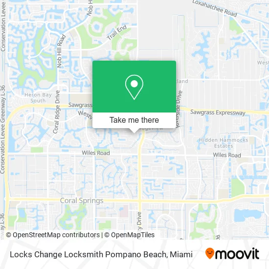
See Locks Change Locksmith Pompano Beach, Deerfield Beach, on the map
Public Transit to Locks Change Locksmith Pompano Beach in Deerfield Beach
Wondering how to get to Locks Change Locksmith Pompano Beach in Deerfield Beach? Moovit helps you find the best way to get to Locks Change Locksmith Pompano Beach with step-by-step directions from the nearest public transit station.
Moovit provides free maps and live directions to help you navigate through your city. View schedules, routes, timetables, and find out how long does it take to get to Locks Change Locksmith Pompano Beach in real time.
Looking for the nearest stop or station to Locks Change Locksmith Pompano Beach? Check out this list of stops closest to your destination: University Drive/Pine Ridge Drive - (Northwest 95th Drive); University Drive/Pine Ridge Drive.
Bus: 02, 62, 88.
Want to see if there’s another route that gets you there at an earlier time? Moovit helps you find alternative routes or times. Get directions from and directions to Locks Change Locksmith Pompano Beach easily from the Moovit App or Website.
We make riding to Locks Change Locksmith Pompano Beach easy, which is why over 1.5 million users, including users in Deerfield Beach, trust Moovit as the best app for public transit. You don’t need to download an individual bus app or train app, Moovit is your all-in-one transit app that helps you find the best bus time or train time available.
For information on prices of bus, costs and ride fares to Locks Change Locksmith Pompano Beach, please check the Moovit app.
Use the app to navigate to popular places including to the airport, hospital, stadium, grocery store, mall, coffee shop, school, college, and university.
Locks Change Locksmith Pompano Beach Address: 5070 NW 96th Way Coral Springs, FL 33076 street in Deerfield Beach
- Haftel Estates,
- STARBUCKS,
- 9600 Westview Dr Parking,
- Mas Enterprises,
- Bellows Associates,
- Yader Vargas - CMG Home Loans,
- Ed Geraghty - CMG Home Loans Mortgage,
- Buck Steel, Inc.,
- The Q-Team,
- Electric Sun,
- Navy Federal Credit Union,
- Morse Rick M CPA,
- Erika Joan Amoro - Intuit Turbotax Verified Pro,
- JM Title Services, Inc.,
- Bridgeport Capital,
- Amtrust Financial Builder's Insurance Group,
- Amazon Locker-Jeng,
- Jeff Albert,
- Direct Nursing Care Services,
- Matthew M. Slowik, PA
Places Near Locks Change Locksmith Pompano Beach (Deerfield Beach)
- Wynwood, Miami,
- Bayside Marketplace, Miami,
- Aventura Mall, Miami Beach,
- Port of Miami Cruise Terminal, Miami,
- Zoo Miami, Miami,
- Miami-Dade County Courthouse, Miami,
- Sawgrass Mall, Miami,
- Brickell City Centre, Miami,
- Miami Freedom Park, Miami,
- Aventura Mall, Miami,
- Richard E. Gerstein Justice Building, Miami,
- Dolphin Mall, Miami,
- Dolphin Mall Bus, Miami,
- Keiser University Flagship Campus, West Palm Beach,
- Little Havana, Miami,
- Marlins Park, Miami,
- Miami VA Hospital, Miami,
- Hard Rock Stadium, Miami Gardens,
- Miami Design District, Miami,
- Sawgrass mall ( FL ), Miami Beach
How to get to popular places in Miami with public transit
Get around Deerfield Beach by public transit!
Traveling around Deerfield Beach has never been so easy. See step by step directions as you travel to any attraction, street or major public transit station. View bus and train schedules, arrival times, service alerts and detailed routes on a map, so you know exactly how to get to anywhere in Deerfield Beach.
When traveling to any destination around Deerfield Beach use Moovit's Live Directions with Get Off Notifications to know exactly where and how far to walk, how long to wait for your line, and how many stops are left. Moovit will alert you when it's time to get off — no need to constantly re-check whether yours is the next stop.
Wondering how to use public transit in Deerfield Beach or how to pay for public transit in Deerfield Beach? Moovit public transit app can help you navigate your way with public transit easily, and at minimum cost. It includes public transit fees, ticket prices, and costs. Looking for a map of Deerfield Beach public transit lines? Moovit public transit app shows all public transit maps in Deerfield Beach with all Bus, Train, Light Rail and Ferry routes and stops on an interactive map.
Miami has 4 transit type(s), including: Bus, Train, Light Rail and Ferry, operated by several transit agencies, including Broward County Transit, Miami-Dade Transit, Metrorail, Palm Tran, Tri-Rail, Brightline, MARTY, City of Homestead Trolley, Key West Transit, Treasure Coast Connector, GoLine IRT, Amtrak, Greyhound-us, FlixBus-us and Aventura Express Shuttle Bus