How to get to Locks & Locksmiths by bus?
Click on the bus route to see step by step directions with maps, line arrival times and updated time schedules.
From Red Door Real Estate, Indianapolis City (Balance)
37 minFrom Sheraton Indianapolis City Centre Hotel, Indianapolis City (Balance)
39 minFrom Metropolitan, Indianapolis City (Balance)
75 minFrom Patel Brothers, Indianapolis City (Balance)
47 minFrom Aunt Polly's Pizza Ribs & Chicken Delivery, Indianapolis City (Balance)
58 minFrom Antojitos Hondureños Tia Vilma, Indianapolis City (Balance)
37 minFrom Lucas Oil Stadium, Indianapolis City (Balance)
58 minFrom Ascension St Vincent Breast Mri Services, Indianapolis City (Balance)
105 minFrom Fort Benjamin Harrison Track, Lawrence
49 minFrom CROWNE PLAZA HOTEL, Indianapolis City (Balance)
47 min
Bus stop near Locks & Locksmiths in Indianapolis City (Balance)
- Keystone Ave & 46th St, 7 min walk,VIEW
Bus lines to Locks & Locksmiths in Indianapolis City (Balance)
What are the closest stations to Locks & Locksmiths?
The closest stations to Locks & Locksmiths are:
- Keystone Ave & 46th St is 546 yards away, 7 min walk.
Which bus lines stop near Locks & Locksmiths?
These bus lines stop near Locks & Locksmiths: 19, 26.
What’s the nearest bus station to Locks & Locksmiths in Indianapolis City (Balance)?
The nearest bus station to Locks & Locksmiths in Indianapolis City (Balance) is Keystone Ave & 46th St. It’s a 7 min walk away.
What time is the first bus to Locks & Locksmiths in Indianapolis City (Balance)?
The 19 is the first bus that goes to Locks & Locksmiths in Indianapolis City (Balance). It stops nearby at 4:40 AM.
What time is the last bus to Locks & Locksmiths in Indianapolis City (Balance)?
The 26 is the last bus that goes to Locks & Locksmiths in Indianapolis City (Balance). It stops nearby at 11:09 PM.
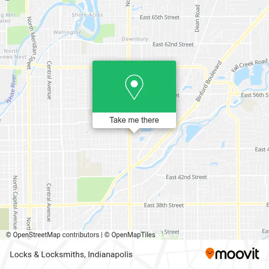
See Locks & Locksmiths, Indianapolis City (Balance), on the map
Public Transit to Locks & Locksmiths in Indianapolis City (Balance)
Wondering how to get to Locks & Locksmiths in Indianapolis City (Balance)? Moovit helps you find the best way to get to Locks & Locksmiths with step-by-step directions from the nearest public transit station.
Moovit provides free maps and live directions to help you navigate through your city. View schedules, routes, timetables, and find out how long does it take to get to Locks & Locksmiths in real time.
Looking for the nearest stop or station to Locks & Locksmiths? Check out this list of stops closest to your destination: Keystone Ave & 46th St.
Bus: 19, 26.
Want to see if there’s another route that gets you there at an earlier time? Moovit helps you find alternative routes or times. Get directions from and directions to Locks & Locksmiths easily from the Moovit App or Website.
We make riding to Locks & Locksmiths easy, which is why over 1.5 million users, including users in Indianapolis City (Balance), trust Moovit as the best app for public transit. You don’t need to download an individual bus app or train app, Moovit is your all-in-one transit app that helps you find the best bus time or train time available.
For information on prices of bus, costs and ride fares to Locks & Locksmiths, please check the Moovit app.
Use the app to navigate to popular places including to the airport, hospital, stadium, grocery store, mall, coffee shop, school, college, and university.
Locks & Locksmiths Address: 4755 Kingsway Dr Indianapolis, IN 46205 street in Indianapolis City (Balance)
- Site Technologies,
- Indiana Association for Child Care Resource & Referral,
- The Indata Depot,
- Easter Seals Crossroads,
- Head Start of Marion and Hamilton Counties,
- Deaf Community Services,
- Easterseals Crossroads (Crossroads Rehabilitation Center),
- Marion County DFR,
- Professional Assessment of Indiana,
- Indianapolis 7 Days Electrician,
- Indiana State Health Department,
- Public Storage,
- Ladycutz317,
- Purpose Driven Hands Barber Shop,
- Galleria Indy,
- ACDelco,
- Indiana Association of Area Agencies on Aging,
- Keystone Ave Locksmith Company,
- Franciscan VNS,
- Kidspeace Foster Care in Indianapolis, in
Places Near Locks & Locksmiths (Indianapolis City (Balance))
- Lucas Oil Stadium, Indianapolis City (Balance),
- St. Vincent Hospital - Indianapolis, Indianapolis City (Balance),
- Indiana, Indianapolis City (Balance),
- Indiana Convention Center, Indianapolis City (Balance),
- THE BALT, Indianapolis City (Balance),
- Indianapolis Airport Zone 2, Indianapolis City (Balance),
- Train Ride At Castleton Mall, Indianapolis City (Balance),
- Eskenazi Hospital, Indianapolis City (Balance),
- Lilly Corporate Center (Eli Lilly & Co), Indianapolis City (Balance),
- I U Health Methodist Hospital, Indianapolis City (Balance),
- Methodist Hospital of Indianapolis, Indianapolis City (Balance),
- Gainbridge Fieldhouse, Indianapolis City (Balance),
- I-465 / I-65 Interchange, Indianapolis City (Balance),
- Indianapolis Motor Speedway, Speedway,
- Plainfield, IN, Plainfield,
- Jersey Barn, Indianapolis City (Balance),
- 119 W 19th St Parking, Indianapolis City (Balance),
- St. Vincent entrance #1, Indianapolis City (Balance),
- Cotter's Massage Parlor With Happy Endings, Indianapolis City (Balance),
- Castleton Square Mall, Indianapolis
How to get to popular places in Indianapolis with public transit
Get around Indianapolis City (Balance) by public transit!
Traveling around Indianapolis City (Balance) has never been so easy. See step by step directions as you travel to any attraction, street or major public transit station. View bus and train schedules, arrival times, service alerts and detailed routes on a map, so you know exactly how to get to anywhere in Indianapolis City (Balance).
When traveling to any destination around Indianapolis City (Balance) use Moovit's Live Directions with Get Off Notifications to know exactly where and how far to walk, how long to wait for your line, and how many stops are left. Moovit will alert you when it's time to get off — no need to constantly re-check whether yours is the next stop.
Wondering how to use public transit in Indianapolis City (Balance) or how to pay for public transit in Indianapolis City (Balance)? Moovit public transit app can help you navigate your way with public transit easily, and at minimum cost. It includes public transit fees, ticket prices, and costs. Looking for a map of Indianapolis City (Balance) public transit lines? Moovit public transit app shows all public transit maps in Indianapolis City (Balance) with all bus routes and stops on an interactive map.
Indianapolis has 1 transit type(s), including: bus, operated by several transit agencies, including IndyGo, FlixBus-us and Greyhound-us