Directions to Locksmith Emergency (Baltimore County) with public transportation
The following transit lines have routes that pass near Locksmith Emergency
 Bus: 32, 37, CITYLINK PURPLE, 77.
How to get to Locksmith Emergency by bus?
Click on the bus route to see step by step directions with maps, line arrival times and updated time schedules.
From Hopkins Plaza, Baltimore
39 minFrom Enoch Pratt Free Library - Central Library, Baltimore
43 minFrom B&O Railroad Museum, Baltimore
35 minFrom Mondawmin Mall, Baltimore
50 minFrom Baltimore Convention Center, Baltimore
45 minFrom University Of Maryland Medical Center, Baltimore
39 minFrom Downtown Baltimore, Baltimore
40 minFrom NSA Friendship Annex (FANX), Anne Arundel County
88 minFrom Lord Baltimore Hotel, Baltimore
38 minFrom Reisterstown Road Plaza, Baltimore
62 min
Bus stops near Locksmith Emergency in Baltimore County
Bus lines to Locksmith Emergency in Baltimore County
What are the closest stations to Locksmith Emergency?
The closest stations to Locksmith Emergency are:
- Frederick Rd & Ingleside Ave Wb is 84 yards away, 2 min walk.
- Ingleside Ave & Melrose Ave Nb is 142 yards away, 2 min walk.
- Edmondson Ave & Ingleside Ave Wb is 447 yards away, 6 min walk.
Which bus lines stop near Locksmith Emergency?
These bus lines stop near Locksmith Emergency: 32, 37, CITYLINK PURPLE.
What’s the nearest bus station to Locksmith Emergency in Baltimore County?
The nearest bus stations to Locksmith Emergency in Baltimore County are Frederick Rd & Ingleside Ave Wb and Ingleside Ave & Melrose Ave Nb. The closest one is a 2 min walk away.
What time is the first bus to Locksmith Emergency in Baltimore County?
The 77 is the first bus that goes to Locksmith Emergency in Baltimore County. It stops nearby at 3:51 AM.
What time is the last bus to Locksmith Emergency in Baltimore County?
The 77 is the last bus that goes to Locksmith Emergency in Baltimore County. It stops nearby at 2:31 AM.
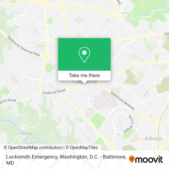
See Locksmith Emergency, Baltimore County, on the map
Public Transit to Locksmith Emergency in Baltimore County
Wondering how to get to Locksmith Emergency in Baltimore County? Moovit helps you find the best way to get to Locksmith Emergency with step-by-step directions from the nearest public transit station.
Moovit provides free maps and live directions to help you navigate through your city. View schedules, routes, timetables, and find out how long does it take to get to Locksmith Emergency in real time.
Looking for the nearest stop or station to Locksmith Emergency? Check out this list of stops closest to your destination: Frederick Rd & Ingleside Ave Wb; Ingleside Ave & Melrose Ave Nb; Edmondson Ave & Ingleside Ave Wb.
Bus: 32, 37, CITYLINK PURPLE, 77.
Want to see if there’s another route that gets you there at an earlier time? Moovit helps you find alternative routes or times. Get directions from and directions to Locksmith Emergency easily from the Moovit App or Website.
We make riding to Locksmith Emergency easy, which is why over 1.5 million users, including users in Baltimore County, trust Moovit as the best app for public transit. You don’t need to download an individual bus app or train app, Moovit is your all-in-one transit app that helps you find the best bus time or train time available.
For information on prices of bus and metro, costs and ride fares to Locksmith Emergency, please check the Moovit app.
Use the app to navigate to popular places including to the airport, hospital, stadium, grocery store, mall, coffee shop, school, college, and university.
Location: Baltimore County, Washington, D.C. - Baltimore, MD
- Caton Distributing Co,
- Dial 'N' Save Factory,
- Smith National Rd,
- Smith MD-144,
- Катонсвил,
- کیٹونسویل، میری لینڈ,
- Printed Apparel,
- Sam's Bagels,
- Ryh,
- Domain,
- Umami Global Bistro,
- Hair Weaves Extension Salon (Natural Hair Salons in Maryland),
- Catonsville Barbers,
- T Nail Lounge,
- Catonsville Nails & Spa ,
- Sprout Natural Choice,
- Charlsie's Bakehouse,
- Hair Weaves Extension Salon,
- Heavenly Hands Rejuvenation,
- James Mueller
Places Near Locksmith Emergency (Baltimore County)
- Pennsylvania Ave NW (3rd st and pennsylvania), Washington,
- Museum Of The Bible, Washington,
- Basilica of the National Shrine, Washington,
- Sibley Memorial Hospital, Washington,
- Washington National Cathedral, Washington,
- PG Mall, Prince George's County,
- Westfield Montgomery Mall, Montgomery County,
- Warner Theatre, Washington,
- Capital One Arena, Washington,
- The Anthem, Washington,
- Amazon Hq2, Arlington County,
- National Museum of African American History and Culture, Washington,
- M&T Bank Stadium, Baltimore,
- Georgetown, Washington,
- Rock Creek Tennis Center, Washington,
- Camden Yards, Baltimore,
- National Theatre, Washington,
- Washington DC VA Medical Center, Washington,
- Marriott Marquis Washington, DC, Washington,
- National Zoo, Washington
How to get to popular places in Washington, D.C. - Baltimore, MD with public transit
Get around Baltimore County by public transit!
Traveling around Baltimore County has never been so easy. See step by step directions as you travel to any attraction, street or major public transit station. View bus and train schedules, arrival times, service alerts and detailed routes on a map, so you know exactly how to get to anywhere in Baltimore County.
When traveling to any destination around Baltimore County use Moovit's Live Directions with Get Off Notifications to know exactly where and how far to walk, how long to wait for your line, and how many stops are left. Moovit will alert you when it's time to get off — no need to constantly re-check whether yours is the next stop.
Wondering how to use public transit in Baltimore County or how to pay for public transit in Baltimore County? Moovit public transit app can help you navigate your way with public transit easily, and at minimum cost. It includes public transit fees, ticket prices, and costs. Looking for a map of Baltimore County public transit lines? Moovit public transit app shows all public transit maps in Baltimore County with all Bus, Train, Metro, Light Rail and Ferry routes and stops on an interactive map.
Washington, D.C. - Baltimore, MD has 5 transit type(s), including: Bus, Train, Metro, Light Rail and Ferry, operated by several transit agencies, including WMATA, Montgomery County Ride On, Fairfax Connector, TheBus, PRTC, DASH - Alexandria, Arlington Transit (ART), RTA of Central Maryland, MDOT MTA, MDOT MTA Light RailLink, MDOT MTA Commuter Bus, MDOT MTA Local Bus, FXBGO!, Virginia Railway Express (VRE) and MARC