Lockwood Ave @ Ball Ave stop - Tuesday schedule
| Line | Direction | Time |
|---|---|---|
| 30 | Getty Square | 6:33 AM |
| 30 | Getty Square | 6:47 AM |
| 30 | Getty Square | 7:13 AM |
| 30 | Getty Square | 7:24 AM |
| 30 | Riverdale Ave @ Main St | 7:31 AM |
| 30 | Getty Square | 8:02 AM |
| 30 | Getty Square | 8:33 AM |
| 30 | Riverdale Ave @ Main St | 8:50 AM |
| 30 | Getty Square | 9:06 AM |
| 30 | Riverdale Ave @ Main St | 9:29 AM |
| 30 | Riverdale Ave @ Main St | 9:59 AM |
| 30 | Riverdale Ave @ Main St | 10:49 AM |
| 30 | Riverdale Ave @ Main St | 11:44 AM |
| 30 | Riverdale Ave @ Main St | 12:44 PM |
| 30 | Riverdale Ave @ Main St | 1:44 PM |
| 30 | Getty Square | 2:15 PM |
| 30 | Riverdale Ave @ Main St | 2:43 PM |
| 30 | Getty Square | 3:20 PM |
| 30 | Riverdale Ave @ Main St | 3:46 PM |
| 30 | Getty Square | 4:17 PM |
| 30 | Getty Square | 4:37 PM |
| 30 | Riverdale Ave @ Main St | 4:52 PM |
| 30 | Getty Square | 5:12 PM |
| 30 | Getty Square | 5:32 PM |
| 30 | Riverdale Ave @ Main St | 5:52 PM |
Directions to Lockwood Ave @ Ball Ave stop (Yonkers) with public transit
The following transit lines have routes that pass near Lockwood Ave @ Ball Ave
 Bus: 30, 8.
- Train: 1, 2, ADIRONDACK, BERKSHIRE FLYER, EMPIRE SERVICE.
How to get to Lockwood Ave @ Ball Ave stop by bus?
Click on the bus route to see step by step directions with maps, line arrival times and updated time schedules.
How to get to Lockwood Ave @ Ball Ave stop by train?
Click on the train route to see step by step directions with maps, line arrival times and updated time schedules.
Bus stops near Lockwood Ave @ Ball Ave stop in Yonkers
- Lockwood Ave @ Gavin St, 1 min walk,
- Saw Mill River Rd @ Worth St, 7 min walk,
Train stations near Lockwood Ave @ Ball Ave station in Yonkers
- Greystone, 26 min walk,
- Yonkers, 44 min walk,
- Bronxville, 48 min walk,
Bus lines to Lockwood Ave @ Ball Ave stop in Yonkers
- 30, New Rochelle,
- 8, Mount Saint Vincent,
What are the closest stations to Lockwood Ave @ Ball Ave?
The closest stations to Lockwood Ave @ Ball Ave are:
- Lockwood Ave @ Gavin St stop is 54 yards away, 1 min walk.
- Saw Mill River Rd @ Worth St stop is 566 yards away, 7 min walk.
- Greystone station is 2180 yards away, 26 min walk.
- Yonkers station is 3836 yards away, 44 min walk.
- Bronxville station is 4134 yards away, 48 min walk.
Which bus lines stop near Lockwood Ave @ Ball Ave?
These bus lines stop near Lockwood Ave @ Ball Ave: 30, 8.
Which train lines stop near Lockwood Ave @ Ball Ave?
These train lines stop near Lockwood Ave @ Ball Ave: 1, 2.
What’s the nearest train station to Lockwood Ave @ Ball Ave in Yonkers?
The nearest train station to Lockwood Ave @ Ball Ave in Yonkers is Greystone. It’s a 26 min walk away.
What’s the nearest bus station to Lockwood Ave @ Ball Ave in Yonkers?
The nearest bus station to Lockwood Ave @ Ball Ave in Yonkers is Lockwood Ave @ Gavin St. It’s a 1 min walk away.
What time is the first train to Lockwood Ave @ Ball Ave in Yonkers?
The 2 is the first train that goes to Lockwood Ave @ Ball Ave in Yonkers. It stops nearby at 4:59 AM.
What time is the last train to Lockwood Ave @ Ball Ave in Yonkers?
The 2 is the last train that goes to Lockwood Ave @ Ball Ave in Yonkers. It stops nearby at 2:33 AM.
What time is the first bus to Lockwood Ave @ Ball Ave in Yonkers?
The 8 is the first bus that goes to Lockwood Ave @ Ball Ave in Yonkers. It stops nearby at 5:31 AM.
What time is the last bus to Lockwood Ave @ Ball Ave in Yonkers?
The 8 is the last bus that goes to Lockwood Ave @ Ball Ave in Yonkers. It stops nearby at 10:29 PM.
Lockwood Ave @ Ball Ave station
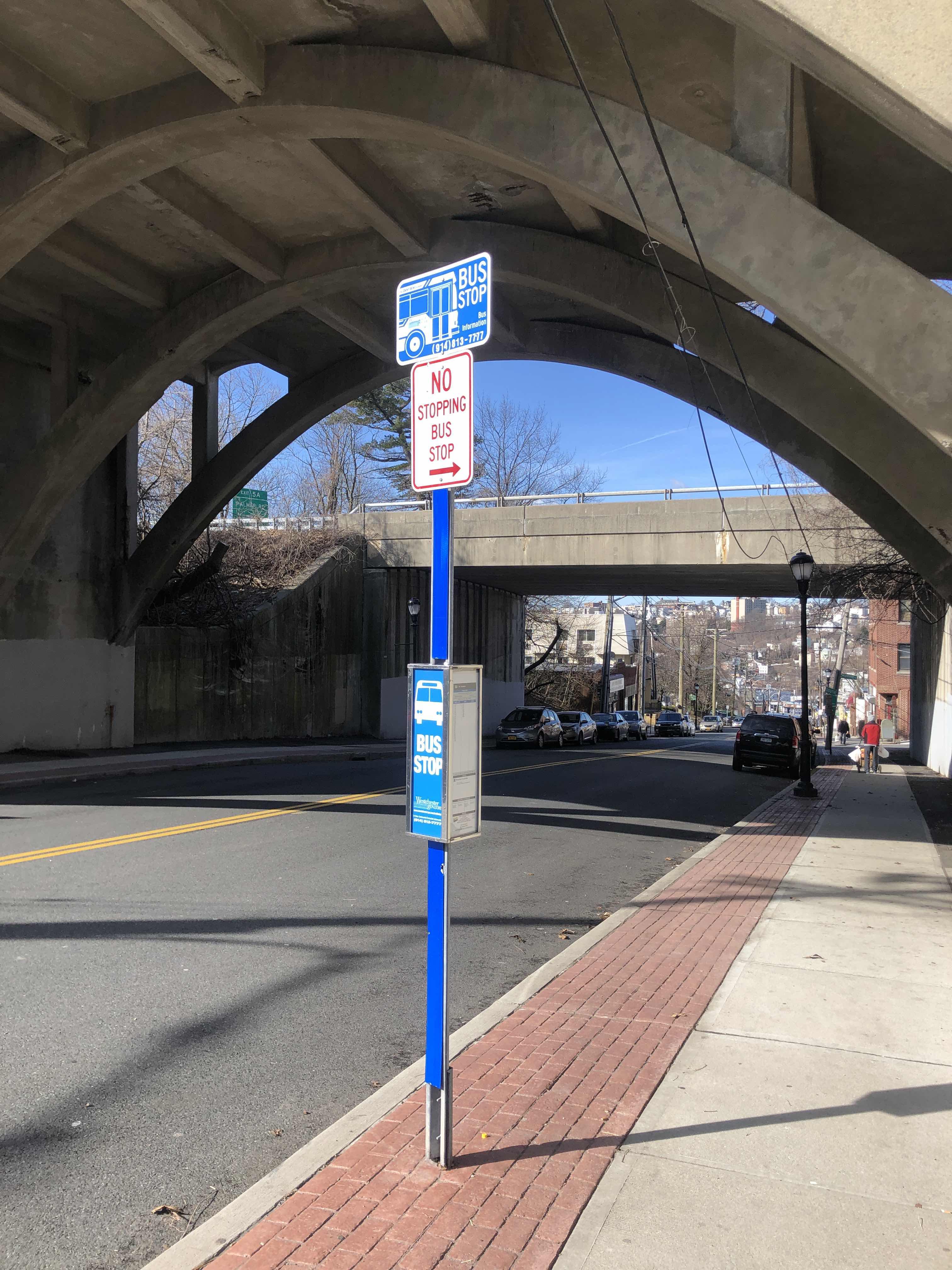 Taken by Anonymous
See Lockwood Ave @ Ball Ave stop, Yonkers, on the map
Public transit to Lockwood Ave @ Ball Ave stop (ID: 1297) in Yonkers
Looking for directions to Lockwood Ave @ Ball Ave in Yonkers, United States?
Download the Moovit App to find the current schedule and step-by-step directions for Bus, Train or Subway routes that pass through Lockwood Ave @ Ball Ave.
Looking for the nearest stops closest to Lockwood Ave @ Ball Ave ? Check out this list of closest stops to your destination: Lockwood Ave @ Gavin St; Saw Mill River Rd @ Worth St; Greystone; Yonkers; Bronxville.
Bus: 30, 8.Train: 1, 2, ADIRONDACK, BERKSHIRE FLYER, EMPIRE SERVICE, ETHAN ALLEN EXPRESS, MAPLE LEAF.
We make riding on public transit to Lockwood Ave @ Ball Ave easy, which is why over 1.7 billion users, including users in Yonkers trust Moovit as the best app for public transit.
Use the app to navigate to popular places including to the airport, hospital, stadium, grocery store, mall, coffee shop, school, college, and university.
Lockwood Ave @ Ball Ave stop’s code is 1297
The first line to this stop is 30, at 6:33 AM, and the last line is 30 at 7:49 PM.
119 Gavin Street, Yonkers, NY, USA
This stop serves Bee-Line Bus’s lines
- Lockwood Ave @ Gavin St,
- Saw Mill River Rd @ Worth St
Bus stops near Lockwood Ave @ Ball Ave stop
- Greystone,
- Yonkers,
- Bronxville
Train stations near Lockwood Ave @ Ball Ave station
- 4 Av/Dean St,
- Union St,
- South Brunswick - 8a Park and Ride,
- Grand Ave + Baldwin Ave,
- Grand Concourse/East Mount Eden Av,
- Bridgeport Ave. at Opposite I-95 Exit 34,
- East Hampton,
- East Rockaway,
- Yankees - East 153rd St,
- White Plains Rd @ E 241st St,
- Broadway/W 133 St,
- 500 Westchester Ave,
- 137 St-City College,
- Aberdeen-Matawan,
- Halsey St/Broadway,
- Pelham Pkwy/White Plains Rd,
- JFK Blvd at Cini Ave,
- Astor Pl,
- Broadway/Lorimer St,
- Fleetwood
Popular public transit stations in Yonkers
Get around Yonkers by public transit!
Traveling around Yonkers has never been so easy. See step by step directions as you travel to any attraction, street or major public transit station. View bus and train schedules, arrival times, service alerts and detailed routes on a map, so you know exactly how to get to anywhere in Yonkers.
When traveling to any destination around Yonkers use Moovit's Live Directions with Get Off Notifications to know exactly where and how far to walk, how long to wait for your line, and how many stops are left. Moovit will alert you when it's time to get off — no need to constantly re-check whether yours is the next stop.
Wondering how to use public transit in Yonkers or how to pay for public transit in Yonkers? Moovit public transit app can help you navigate your way with public transit easily, and at minimum cost. It includes public transit fees, ticket prices, and costs. Looking for a map of Yonkers public transit lines? Moovit public transit app shows all public transit maps in Yonkers with all Bus, Train, Subway, Light Rail, Ferry and Cable Car routes and stops on an interactive map.
New York - New Jersey has 6 transit type(s), including: Bus, Train, Subway, Light Rail, Ferry and Cable Car, operated by several transit agencies, including MTA Subway, Metro-North Railroad, LIRR, PATH, MTA New York City Transit - Express routes, MTA Bus, NJ Transit, NYC Ferry, NICE bus, Bee-Line Bus, NJ Transit Rail, Norwalk Transit District, CTTransit - Waterbury-Meriden, Hartford Line and River Valley Transit