How to get to Lois Chiropractic by bus?
Click on the bus route to see step by step directions with maps, line arrival times and updated time schedules.
From Rockland #45 Express Bus to Port Authority Bus Terminal, NYC, Spring Valley
225 minFrom Regeneron Pharmaceuticals Inc, Tarrytown
190 minFrom Palisades mall, West Nyack
220 minFrom Elmsford, NY, Elmsford
174 minFrom 11A Bus to Port Authority, Spring Valley
224 minFrom White Plains, NY, White Plains
172 minFrom Peekskill, NY, Peekskill
52 minFrom Outhouse Orchards, North Salem
161 minFrom Danbury, CT, Danbury
142 min
Bus stops near Lois Chiropractic in Yorktown
Bus lines to Lois Chiropractic in Yorktown
What are the closest stations to Lois Chiropractic?
The closest stations to Lois Chiropractic are:
- Lee Rd @ Bank Rd is 642 yards away, 8 min walk.
- Old Yorktown Rd @ E Main St is 1211 yards away, 15 min walk.
- Jefferson Valley Mall/Sears - Outbound is 1313 yards away, 16 min walk.
- E Main St @ Buckhorn St is 1546 yards away, 19 min walk.
Which bus lines stop near Lois Chiropractic?
These bus lines stop near Lois Chiropractic: 16, 2.
What’s the nearest bus station to Lois Chiropractic in Yorktown?
The nearest bus station to Lois Chiropractic in Yorktown is Lee Rd @ Bank Rd. It’s a 8 min walk away.
What time is the first bus to Lois Chiropractic in Yorktown?
The 10 is the first bus that goes to Lois Chiropractic in Yorktown. It stops nearby at 5:29 AM.
What time is the last bus to Lois Chiropractic in Yorktown?
The 16 is the last bus that goes to Lois Chiropractic in Yorktown. It stops nearby at 9:57 PM.
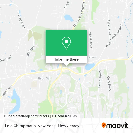
See Lois Chiropractic, Yorktown, on the map
Public Transit to Lois Chiropractic in Yorktown
Wondering how to get to Lois Chiropractic in Yorktown? Moovit helps you find the best way to get to Lois Chiropractic with step-by-step directions from the nearest public transit station.
Moovit provides free maps and live directions to help you navigate through your city. View schedules, routes, timetables, and find out how long does it take to get to Lois Chiropractic in real time.
Looking for the nearest stop or station to Lois Chiropractic? Check out this list of stops closest to your destination: Lee Rd @ Bank Rd; Old Yorktown Rd @ E Main St; Jefferson Valley Mall/Sears - Outbound; E Main St @ Buckhorn St.
Bus: 16, 2, 77, 10.
Want to see if there’s another route that gets you there at an earlier time? Moovit helps you find alternative routes or times. Get directions from and directions to Lois Chiropractic easily from the Moovit App or Website.
We make riding to Lois Chiropractic easy, which is why over 1.5 million users, including users in Yorktown, trust Moovit as the best app for public transit. You don’t need to download an individual bus app or train app, Moovit is your all-in-one transit app that helps you find the best bus time or train time available.
For information on prices of bus and train, costs and ride fares to Lois Chiropractic, please check the Moovit app.
Use the app to navigate to popular places including to the airport, hospital, stadium, grocery store, mall, coffee shop, school, college, and university.
Lois Chiropractic Address: 768 E Main St street in Yorktown
- Valley Fields Golf Course,
- Reveal Home Inspections,
- June Canavan - the Pearl Of Real Estate,
- Pattie D'Alesio Homes,
- Jill Coccaro,
- Lisa Daros,
- Samantha Forrest,
- Lisa Bucolo,
- Renee Jones Realty,
- Geraldine "Gigi" Finan, Realtor,
- Joella Deliberto's Real Estate Page For Westchester and Putnam Counties,
- Barbara Sawin's Real Estate Page For Westchester, Putnam, Dutchess & Ct,
- Marco Nogueras Real Estate Salesperson In Westchester and Putnam County,
- Bill Frattarola Jr,
- Fatima Candiotti, Realtor - Houlihan Lawrence,
- Elizabeth Finnegan Northern Westchester Real Estate,
- Yorktown / Mahopac Real Estate at Houlihan Lawrence,
- Crystal Colombo,
- Elsa Ferreira, Abr, Sres, Realtor In Westchester NY,
- Rajneesh Kaur Uppal, Md
Places Near Lois Chiropractic (Yorktown)
- Hudson Yards, Manhattan,
- SoHo, Manhattan,
- 111 Centre New York City Supreme Court, Manhattan,
- Queens Center Mall, Queens,
- Bellevue Hospital, Manhattan,
- Rockefeller Center, Manhattan,
- Katz's Deli, Manhattan,
- 376 Hudson Street, Manhattan,
- 1 Police Plaza, Manhattan,
- 26 Federal Plaza, Manhattan,
- 3 Stone St, Manhattan,
- Times Square, Manhattan,
- 66 John Street, Manhattan,
- San Gennaro Feast, Manhattan,
- 911 Memorial, Manhattan,
- Mountainside Hospital, Glen Ridge,
- Pier 83, Manhattan,
- qqqq, Manhattan,
- Wall Street, Manhattan,
- Chinatown, Manhattan
How to get to popular places in New York - New Jersey with public transit
Get around Yorktown by public transit!
Traveling around Yorktown has never been so easy. See step by step directions as you travel to any attraction, street or major public transit station. View bus and train schedules, arrival times, service alerts and detailed routes on a map, so you know exactly how to get to anywhere in Yorktown.
When traveling to any destination around Yorktown use Moovit's Live Directions with Get Off Notifications to know exactly where and how far to walk, how long to wait for your line, and how many stops are left. Moovit will alert you when it's time to get off — no need to constantly re-check whether yours is the next stop.
Wondering how to use public transit in Yorktown or how to pay for public transit in Yorktown? Moovit public transit app can help you navigate your way with public transit easily, and at minimum cost. It includes public transit fees, ticket prices, and costs. Looking for a map of Yorktown public transit lines? Moovit public transit app shows all public transit maps in Yorktown with all Bus, Train, Subway, Light Rail, Ferry and Cable Car routes and stops on an interactive map.
New York - New Jersey has 6 transit type(s), including: Bus, Train, Subway, Light Rail, Ferry and Cable Car, operated by several transit agencies, including MTA Subway, Metro-North Railroad, LIRR, PATH, MTA New York City Transit - Express routes, MTA Bus, NJ Transit, NYC Ferry, NICE bus, Bee-Line Bus, NJ Transit Rail, Norwalk Transit District, Hartford Line, River Valley Transit and HART