How to get to Lot F by bus?
Click on the bus route to see step by step directions with maps, line arrival times and updated time schedules.
From The Flower District and Event Center, Tulsa
61 minFrom Champions at Lindbergh Elementary School, Tulsa
41 minFrom Bishop Kelley Baseball Field, Tulsa
44 minFrom Unit K Tulsa Oklahoma, Tulsa
32 minFrom S Fulton Pl, Tulsa
47 minFrom New Community at Cag, Tulsa
44 minFrom LaFortune Park, Tulsa
58 minFrom Tulsa County, Tulsa
60 minFrom Tello's Mexican Grill, Tulsa
54 min
Bus stops near Lot F in Tulsa
Bus lines to Lot F in Tulsa
What are the closest stations to Lot F?
The closest stations to Lot F are:
- (8299) Boston Ave & 4th St Nb is 105 yards away, 2 min walk.
- (7610) S Cincinnati Ave & E 3rd St S Eb is 220 yards away, 3 min walk.
- (7612) Elgin Ave & 3rd St Sb is 242 yards away, 3 min walk.
- (7013) 2nd St & Boulder Ave Eb is 291 yards away, 4 min walk.
- Tulsa Bus Station is 308 yards away, 4 min walk.
- 1st And Detroit Westbo is 431 yards away, 6 min walk.
Which bus lines stop near Lot F?
These bus lines stop near Lot F: 117, 140, 150, 250, 700.
What’s the nearest bus station to Lot F in Tulsa?
The nearest bus station to Lot F in Tulsa is (8299) Boston Ave & 4th St Nb. It’s a 2 min walk away.
What time is the first bus to Lot F in Tulsa?
The 130 is the first bus that goes to Lot F in Tulsa. It stops nearby at 5:32 AM.
What time is the last bus to Lot F in Tulsa?
The GREYHOUND US1210 is the last bus that goes to Lot F in Tulsa. It stops nearby at 12:45 AM.
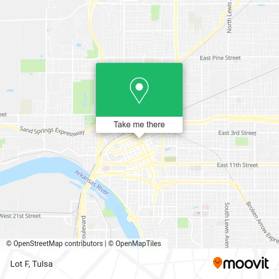
See Lot F, Tulsa, on the map
Public Transit to Lot F in Tulsa
Wondering how to get to Lot F in Tulsa? Moovit helps you find the best way to get to Lot F with step-by-step directions from the nearest public transit station.
Moovit provides free maps and live directions to help you navigate through your city. View schedules, routes, timetables, and find out how long does it take to get to Lot F in real time.
Looking for the nearest stop or station to Lot F? Check out this list of stops closest to your destination: (8299) Boston Ave & 4th St Nb; (7610) S Cincinnati Ave & E 3rd St S Eb; (7612) Elgin Ave & 3rd St Sb; (7013) 2nd St & Boulder Ave Eb; Tulsa Bus Station; 1st And Detroit Westbo.
Bus: 117, 140, 150, 250, 700, 130, GREYHOUND US1146, GREYHOUND US1210, 900.
Want to see if there’s another route that gets you there at an earlier time? Moovit helps you find alternative routes or times. Get directions from and directions to Lot F easily from the Moovit App or Website.
We make riding to Lot F easy, which is why over 1.5 million users, including users in Tulsa, trust Moovit as the best app for public transit. You don’t need to download an individual bus app or train app, Moovit is your all-in-one transit app that helps you find the best bus time or train time available.
For information on prices of bus, costs and ride fares to Lot F, please check the Moovit app.
Use the app to navigate to popular places including to the airport, hospital, stadium, grocery store, mall, coffee shop, school, college, and university.
Lot F Address: Tulsa, OK 74103 street in Tulsa
- 301 S Cincinnati Ave Parking,
- Performing Arts Center - the Annex,
- Story Catcher Studio,
- Coracle Coffee,
- System Parking,
- Veteran X,
- Greyhound Bus Lines,
- Greyhound Bus,
- Lot 126 Blue Dome Market,
- Bourbon Street Cafe,
- New Artery Experience,
- The Brook Restaurant and Bar,
- Peacemaker Lobster and Crab,
- Arnie's Lot - Premium Parking Lot #P6902,
- Tulsa Station,
- STG,
- Trikon,
- Lot 277 Fassler Hall,
- Bill & Ruths Sandwich Shop,
- Trinity Properties Ok
Places Near Lot F (Tulsa)
- Plaza Santa Cecilia, Tulsa,
- Osage Casino, Tulsa,
- St Francis South Cardinal Building, Tulsa,
- Tulsa Ok, Tulsa,
- Alagon Spa (Olympus Spa), Tulsa,
- Tulsa State Fair, Tulsa,
- St. Francis Hospital Outpatient Infusion, Tulsa,
- Bixby, OK, Bixby,
- Zavala Plus, Tulsa,
- S Garnett Rd / E 21st St, Tulsa,
- Saint Francis Hospital, Tulsa,
- 71st & Memorial, Tulsa,
- Amazon Fulfillment Center-TUL2, Tulsa,
- Hard Rock Casino, Tulsa,
- Broken Arrow, OK, Broken Arrow,
- Tulsa Zoo, Tulsa,
- River Spirit Casino, Tulsa,
- Walmart, Tulsa,
- Fallout Shelter, Tulsa,
- Woodland Hills Mall, Tulsa
How to get to popular places in Tulsa with public transit
Get around Tulsa by public transit!
Traveling around Tulsa has never been so easy. See step by step directions as you travel to any attraction, street or major public transit station. View bus and train schedules, arrival times, service alerts and detailed routes on a map, so you know exactly how to get to anywhere in Tulsa.
When traveling to any destination around Tulsa use Moovit's Live Directions with Get Off Notifications to know exactly where and how far to walk, how long to wait for your line, and how many stops are left. Moovit will alert you when it's time to get off — no need to constantly re-check whether yours is the next stop.
Wondering how to use public transit in Tulsa or how to pay for public transit in Tulsa? Moovit public transit app can help you navigate your way with public transit easily, and at minimum cost. It includes public transit fees, ticket prices, and costs. Looking for a map of Tulsa public transit lines? Moovit public transit app shows all public transit maps in Tulsa with all bus routes and stops on an interactive map.
Tulsa has 1 transit type(s), including: bus, operated by several transit agencies, including MetroLink Tulsa and Greyhound-us