Directions to Lovable Paws (Highlands) with public transportation
The following transit lines have routes that pass near Lovable Paws
 Bus: SHORTLINE HUDSON.
How to get to Lovable Paws by bus?
Click on the bus route to see step by step directions with maps, line arrival times and updated time schedules.
From 11A Bus to Port Authority, Spring Valley
116 minFrom Regeneron Pharmaceuticals Inc, Tarrytown
129 minFrom Palisades mall, West Nyack
91 minFrom Peekskill, NY, Peekskill
329 minFrom New City (New), New City
104 minFrom White Plains, NY, White Plains
186 minFrom Rockland #45 Express Bus to Port Authority Bus Terminal, NYC, Spring Valley
117 min
Bus stop near Lovable Paws in Highlands
- Main St & Webb Ln - Highland Falls, 1 min walk,VIEW
Bus lines to Lovable Paws in Highlands
- SHORTLINE HUDSON, Newburgh,VIEW
What are the closest stations to Lovable Paws?
The closest stations to Lovable Paws are:
- Main St & Webb Ln - Highland Falls is 10 yards away, 1 min walk.
Which bus line stops near Lovable Paws?
SHORTLINE HUDSON (Newburgh)
What’s the nearest bus station to Lovable Paws in Highlands?
The nearest bus station to Lovable Paws in Highlands is Main St & Webb Ln - Highland Falls. It’s a 1 min walk away.
What time is the first bus to Lovable Paws in Highlands?
The SHORTLINE HUDSON is the first bus that goes to Lovable Paws in Highlands. It stops nearby at 7:21 AM.
What time is the last bus to Lovable Paws in Highlands?
The SHORTLINE HUDSON is the last bus that goes to Lovable Paws in Highlands. It stops nearby at 4:32 PM.
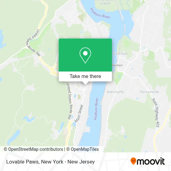
See Lovable Paws, Highlands, on the map
Public Transit to Lovable Paws in Highlands
Wondering how to get to Lovable Paws in Highlands? Moovit helps you find the best way to get to Lovable Paws with step-by-step directions from the nearest public transit station.
Moovit provides free maps and live directions to help you navigate through your city. View schedules, routes, timetables, and find out how long does it take to get to Lovable Paws in real time.
Looking for the nearest stop or station to Lovable Paws? Check out this list of stops closest to your destination: Main St & Webb Ln - Highland Falls.
Bus: SHORTLINE HUDSON.
Want to see if there’s another route that gets you there at an earlier time? Moovit helps you find alternative routes or times. Get directions from and directions to Lovable Paws easily from the Moovit App or Website.
We make riding to Lovable Paws easy, which is why over 1.5 million users, including users in Highlands, trust Moovit as the best app for public transit. You don’t need to download an individual bus app or train app, Moovit is your all-in-one transit app that helps you find the best bus time or train time available.
For information on prices of bus and train, costs and ride fares to Lovable Paws, please check the Moovit app.
Use the app to navigate to popular places including to the airport, hospital, stadium, grocery store, mall, coffee shop, school, college, and university.
Lovable Paws Address: 312 Main St street in Highlands
- The Bunker Cafe,
- Highland Chapter No 52, Royal Arch Masons,
- B Rose Hardware,
- The Center Of Highland Falls,
- Academy Fades & Braids Barber Shop,
- Ups Authorized Shipping Provider,
- Hoffman's True Value Hardware,
- True Value,
- Maria Bonita,
- Antojitos Plus,
- Nana's Chicken,
- Ups Access Point Location,
- Highland Falls, New York,
- A&J Global Construction.Llc,
- Home Made Suites Hotel,
- Benny Havens,
- Highland Social,
- West Point Pizza,
- Nohtagi Laundromat,
- Smitty's Hair Creation
Places Near Lovable Paws (Highlands)
- Mountainside Hospital, Glen Ridge,
- 111 Centre New York City Supreme Court, Manhattan,
- 911 Memorial, Manhattan,
- Pier 83, Manhattan,
- 376 Hudson Street, Manhattan,
- Rockefeller Center, Manhattan,
- 66 John Street, Manhattan,
- Times Square, Manhattan,
- Katz's Deli, Manhattan,
- Queens Center Mall, Queens,
- Bellevue Hospital, Manhattan,
- 1 Police Plaza, Manhattan,
- qqqq, Manhattan,
- 3 Stone St, Manhattan,
- San Gennaro Feast, Manhattan,
- Chinatown, Manhattan,
- Hudson Yards, Manhattan,
- Wall Street, Manhattan,
- 26 Federal Plaza, Manhattan,
- SoHo, Manhattan
How to get to popular places in New York - New Jersey with public transit
Get around Highlands by public transit!
Traveling around Highlands has never been so easy. See step by step directions as you travel to any attraction, street or major public transit station. View bus and train schedules, arrival times, service alerts and detailed routes on a map, so you know exactly how to get to anywhere in Highlands.
When traveling to any destination around Highlands use Moovit's Live Directions with Get Off Notifications to know exactly where and how far to walk, how long to wait for your line, and how many stops are left. Moovit will alert you when it's time to get off — no need to constantly re-check whether yours is the next stop.
Wondering how to use public transit in Highlands or how to pay for public transit in Highlands? Moovit public transit app can help you navigate your way with public transit easily, and at minimum cost. It includes public transit fees, ticket prices, and costs. Looking for a map of Highlands public transit lines? Moovit public transit app shows all public transit maps in Highlands with all Bus, Train, Subway, Light Rail, Ferry and Cable Car routes and stops on an interactive map.
New York - New Jersey has 6 transit type(s), including: Bus, Train, Subway, Light Rail, Ferry and Cable Car, operated by several transit agencies, including MTA Subway, Metro-North Railroad, LIRR, PATH, MTA New York City Transit - Express routes, MTA Bus, NJ Transit, NYC Ferry, NICE bus, Bee-Line Bus, NJ Transit Rail, Norwalk Transit District, Hartford Line, River Valley Transit and HART