How to get to Lows Tech by bus?
Click on the bus route to see step by step directions with maps, line arrival times and updated time schedules.
From Cross County Mall, Yonkers
67 minFrom Costco Wholesale, Manhattan
39 minFrom Cross County Shopping Center, Yonkers
66 minFrom Yonkers, NY, Yonkers
73 minFrom Hallets Point, Queens
73 minFrom George Washington Bridge, Manhattan
61 minFrom Shea Stadium, Queens
74 minFrom New World Mall, Queens
69 minFrom The Shops at SkyView Center, Queens
60 minFrom Sojo Spa Club, Edgewater
74 min
How to get to Lows Tech by train?
Click on the train route to see step by step directions with maps, line arrival times and updated time schedules.
How to get to Lows Tech by subway?
Click on the subway route to see step by step directions with maps, line arrival times and updated time schedules.
Bus stops near Lows Tech in Bronx
Subway station near Lows Tech in Bronx
- E 180 St, 11 min walk,VIEW
Bus lines to Lows Tech in Bronx
What are the closest stations to Lows Tech?
The closest stations to Lows Tech are:
- Morris Park Av/White Plains Rd is 28 yards away, 1 min walk.
- White Plains Rd/Morris Pk Av is 117 yards away, 2 min walk.
- East Tremont Av/Unionport Rd is 597 yards away, 8 min walk.
- E 180 St is 881 yards away, 11 min walk.
Which bus lines stop near Lows Tech?
These bus lines stop near Lows Tech: BX21, BX22, BX39, BXM10.
Which train lines stop near Lows Tech?
These train lines stop near Lows Tech: 2, 3.
Which subway lines stop near Lows Tech?
These subway lines stop near Lows Tech: 2, 5.
What’s the nearest subway station to Lows Tech in Bronx?
The nearest subway station to Lows Tech in Bronx is E 180 St. It’s a 11 min walk away.
What’s the nearest bus station to Lows Tech in Bronx?
The nearest bus station to Lows Tech in Bronx is Morris Park Av/White Plains Rd. It’s a 1 min walk away.
What time is the first subway to Lows Tech in Bronx?
The 5 is the first subway that goes to Lows Tech in Bronx. It stops nearby at 3:03 AM.
What time is the last subway to Lows Tech in Bronx?
The 2 is the last subway that goes to Lows Tech in Bronx. It stops nearby at 4:29 AM.
What time is the first bus to Lows Tech in Bronx?
The BX22 is the first bus that goes to Lows Tech in Bronx. It stops nearby at 3:16 AM.
What time is the last bus to Lows Tech in Bronx?
The BX21 is the last bus that goes to Lows Tech in Bronx. It stops nearby at 2:55 AM.
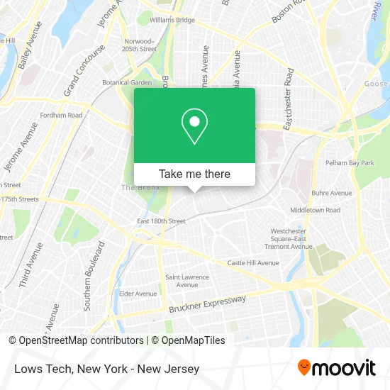
See Lows Tech, Bronx, on the map
Public Transit to Lows Tech in Bronx
Wondering how to get to Lows Tech in Bronx? Moovit helps you find the best way to get to Lows Tech with step-by-step directions from the nearest public transit station.
Moovit provides free maps and live directions to help you navigate through your city. View schedules, routes, timetables, and find out how long does it take to get to Lows Tech in real time.
Looking for the nearest stop or station to Lows Tech? Check out this list of stops closest to your destination: Morris Park Av/White Plains Rd; White Plains Rd/Morris Pk Av; East Tremont Av/Unionport Rd; E 180 St.
Bus: BX21, BX22, BX39, BXM10, BX40, BX42.Train: 2, 3.Subway: 2, 5.
Want to see if there’s another route that gets you there at an earlier time? Moovit helps you find alternative routes or times. Get directions from and directions to Lows Tech easily from the Moovit App or Website.
We make riding to Lows Tech easy, which is why over 1.5 million users, including users in Bronx, trust Moovit as the best app for public transit. You don’t need to download an individual bus app or train app, Moovit is your all-in-one transit app that helps you find the best bus time or train time available.
For information on prices of bus, subway and train, costs and ride fares to Lows Tech, please check the Moovit app.
Use the app to navigate to popular places including to the airport, hospital, stadium, grocery store, mall, coffee shop, school, college, and university.
Lows Tech Address: 8 W 126th St street in Bronx
- Moody Cafe,
- Ytech Wholesale,
- Iland Group Inc,
- Anthony & Associates Cpa P.C.,
- Triple Chocolate Crepes & Waffles,
- Joseph A. Lucchese Funeral Home, Inc.,
- Tasty Choice,
- Little Yemen Jewelry,
- Azal Restaurant and Hall,
- Al Karam Market,
- Delgado Karate,
- Lotus Lounge,
- Roots & Fruits,
- Doryangel Properties,
- Ark Destiny Worship Center Worldwide New York K.I.M,
- DKS 1996,
- Touch by Angel,
- Maven,
- Garage Night Club 2260 Tillotson Ave, Bronx NY 10475,
- Hands-On Physical Therapy - Parkchester
Places Near Lows Tech (Bronx)
- qqqq, Manhattan,
- 66 John Street, Manhattan,
- 1 Police Plaza, Manhattan,
- 111 Centre New York City Supreme Court, Manhattan,
- 3 Stone St, Manhattan,
- 911 Memorial, Manhattan,
- Pier 83, Manhattan,
- Bellevue Hospital, Manhattan,
- 26 Federal Plaza, Manhattan,
- Chinatown, Manhattan,
- San Gennaro Feast, Manhattan,
- Mountainside Hospital, Glen Ridge,
- SoHo, Manhattan,
- Katz's Deli, Manhattan,
- Hudson Yards, Manhattan,
- 376 Hudson Street, Manhattan,
- Times Square, Manhattan,
- Wall Street, Manhattan,
- Rockefeller Center, Manhattan,
- Queens Center Mall, Queens
How to get to popular places in New York - New Jersey with public transit
Get around Bronx by public transit!
Traveling around Bronx has never been so easy. See step by step directions as you travel to any attraction, street or major public transit station. View bus and train schedules, arrival times, service alerts and detailed routes on a map, so you know exactly how to get to anywhere in Bronx.
When traveling to any destination around Bronx use Moovit's Live Directions with Get Off Notifications to know exactly where and how far to walk, how long to wait for your line, and how many stops are left. Moovit will alert you when it's time to get off — no need to constantly re-check whether yours is the next stop.
Wondering how to use public transit in Bronx or how to pay for public transit in Bronx? Moovit public transit app can help you navigate your way with public transit easily, and at minimum cost. It includes public transit fees, ticket prices, and costs. Looking for a map of Bronx public transit lines? Moovit public transit app shows all public transit maps in Bronx with all Bus, Train, Subway, Light Rail, Ferry and Cable Car routes and stops on an interactive map.
New York - New Jersey has 6 transit type(s), including: Bus, Train, Subway, Light Rail, Ferry and Cable Car, operated by several transit agencies, including MTA Subway, Metro-North Railroad, LIRR, PATH, MTA New York City Transit - Express routes, MTA Bus, NJ Transit, NYC Ferry, NICE bus, Bee-Line Bus, NJ Transit Rail, Norwalk Transit District, Hartford Line, River Valley Transit and HART