How to get to Luces Oaxaca by bus?
Click on the bus route to see step by step directions with maps, line arrival times and updated time schedules.
From Fraccionamiento Casasolida, Aguascalientes
51 minFrom Barrio La Salud, Aguascalientes
32 minFrom Lomas del Ajedrez, Aguascalientes
48 minFrom Infonavit Morelos, Aguascalientes
52 minFrom CECyTEA Plantel Aguascalientes, Aguascalientes
57 minFrom Fundadores, Aguascalientes
54 minFrom Villasuncion, Aguascalientes
42 minFrom Fraccionamiento Fundadores, Aguascalientes
55 minFrom Instituto Tecnologico De Aguascalientes, Aguascalientes
49 minFrom IEA, Aguascalientes
52 min
Bus stops near Luces Oaxaca in Aguascalientes
Bus lines to Luces Oaxaca in Aguascalientes
What are the closest stations to Luces Oaxaca?
The closest stations to Luces Oaxaca are:
- Boulevard Luis Donaldo Colosio Murrieta, 1722(722) is 488 meters away, 7 min walk.
- Avenida Aguascalientes Norte, 130 is 721 meters away, 10 min walk.
- Avenida Independencia, 1862 is 773 meters away, 11 min walk.
- Avenida Independencia, 2351 is 791 meters away, 11 min walk.
- Avenida Aguascalientes Norte, 612 is 1079 meters away, 14 min walk.
Which bus lines stop near Luces Oaxaca?
These bus lines stop near Luces Oaxaca: RUTA 06, RUTA 10, RUTA 18, RUTA 35.
What’s the nearest bus station to Luces Oaxaca in Aguascalientes?
The nearest bus station to Luces Oaxaca in Aguascalientes is Boulevard Luis Donaldo Colosio Murrieta, 1722(722). It’s a 7 min walk away.
What time is the first bus to Luces Oaxaca in Aguascalientes?
The RUTA 40 is the first bus that goes to Luces Oaxaca in Aguascalientes. It stops nearby at 6:02 AM.
What time is the last bus to Luces Oaxaca in Aguascalientes?
The RUTA 10 is the last bus that goes to Luces Oaxaca in Aguascalientes. It stops nearby at 10:14 PM.
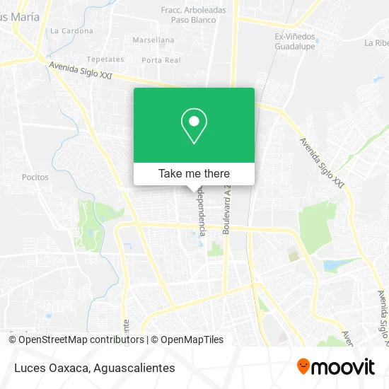
See Luces Oaxaca, Aguascalientes, on the map
Public Transit to Luces Oaxaca in Aguascalientes
Wondering how to get to Luces Oaxaca in Aguascalientes? Moovit helps you find the best way to get to Luces Oaxaca with step-by-step directions from the nearest public transit station.
Moovit provides free maps and live directions to help you navigate through your city. View schedules, routes, timetables, and find out how long does it take to get to Luces Oaxaca in real time.
Looking for the nearest stop or station to Luces Oaxaca? Check out this list of stops closest to your destination: Boulevard Luis Donaldo Colosio Murrieta; Avenida Aguascalientes Norte; Avenida Independencia; Avenida Independencia; Avenida Aguascalientes Norte.
Bus: RUTA 06, RUTA 10, RUTA 18, RUTA 35, RUTA 45, RUTA 30, RUTA 40, RUTA 40.
Want to see if there’s another route that gets you there at an earlier time? Moovit helps you find alternative routes or times. Get directions from and directions to Luces Oaxaca easily from the Moovit App or Website.
We make riding to Luces Oaxaca easy, which is why over 1.5 million users, including users in Aguascalientes, trust Moovit as the best app for public transit. You don’t need to download an individual bus app or train app, Moovit is your all-in-one transit app that helps you find the best bus time or train time available.
For information on prices of bus, costs and ride fares to Luces Oaxaca, please check the Moovit app.
Use the app to navigate to popular places including to the airport, hospital, stadium, grocery store, mall, coffee shop, school, college, and university.
Luces Oaxaca Address: Calle Montes Himalaya, Fracc Jardines de la Concepcion II, 20120 Aguascalientes, Aguascalientes street in Aguascalientes
- El Habanero,
- Hunter Douglas,
- Mondo Nails,
- The Game Room,
- Shoestique,
- Otorrinolaringología,
- Cordillera de Los Alpes Oriente 130,
- Lecto,
- Jam,
- H Jam,
- Plaza Florencia,
- Consultorio de Médico Internista,
- Clinica Dental Concepción,
- Montes Himalaya 905,
- Seré+ Dermatología y Neoterapia Estética,
- Canica Aguascalientes Apoyo a Niños con Cáncer,
- Office Depot,
- Kinesis Functional Training,
- Nikko Valdez Centro de Belleza,
- Taqueria Patron
Places Near Luces Oaxaca (Aguascalientes)
- Isla San Marcos, Aguascalientes,
- Blvd. Luis Donaldo Colosio, Aguascalientes,
- Centro, Aguascalientes,
- Imss Clinica 1, Aguascalientes,
- ESPACIOS, Aguascalientes,
- Villasuncion, Aguascalientes,
- Hospital Imss No. 3, Aguascalientes,
- Universidad Autónoma de Aguascalientes, Aguascalientes,
- Villas de Nuestra Señora de la Asunción, Aguascalientes,
- Aeropuerto de Aguascalientes S.A. de C.V., Aguascalientes,
- Nuevo Hospital Hidalgo, Aguascalientes,
- La Isla San Marcos, Aguascalientes,
- Agropecuario, Aguascalientes,
- Jesús María, Aguascalientes,
- Centro Comercial Altaria, Aguascalientes,
- Terminal De Combis, Aguascalientes,
- Central De Autobuses, Aguascalientes,
- Ciudad industrial, Aguascalientes,
- clinica 3 uaa, Aguascalientes,
- Parque Las Tres Centurias, Aguascalientes
How to get to popular places in Aguascalientes with public transit
Get around Aguascalientes by public transit!
Traveling around Aguascalientes has never been so easy. See step by step directions as you travel to any attraction, street or major public transit station. View bus and train schedules, arrival times, service alerts and detailed routes on a map, so you know exactly how to get to anywhere in Aguascalientes.
When traveling to any destination around Aguascalientes use Moovit's Live Directions with Get Off Notifications to know exactly where and how far to walk, how long to wait for your line, and how many stops are left. Moovit will alert you when it's time to get off — no need to constantly re-check whether yours is the next stop.
Wondering how to use public transit in Aguascalientes or how to pay for public transit in Aguascalientes? Moovit public transit app can help you navigate your way with public transit easily, and at minimum cost. It includes public transit fees, ticket prices, and costs. Looking for a map of Aguascalientes public transit lines? Moovit public transit app shows all public transit maps in Aguascalientes with all bus routes and stops on an interactive map.
Aguascalientes has 1 transit type(s), including: bus, operated by several transit agencies, including Coordinación General de Movilidad