How to get to MAPFRE by bus?
Click on the bus route to see step by step directions with maps, line arrival times and updated time schedules.
Bus stops near MAPFRE in Linares
Bus lines to MAPFRE in Linares
What are the closest stations to MAPFRE?
The closest stations to MAPFRE are:
- Calle Huerta De Las Eras 1 (Conservatorio) is 194 meters away, 3 min walk.
- Calle Alfonso X El Sabio 3 is 314 meters away, 5 min walk.
- Calle Isabel La Católica is 352 meters away, 5 min walk.
- Avenida De España 6 is 561 meters away, 8 min walk.
Which bus line stops near MAPFRE?
6 (Villalonga-Geriátrico)
What’s the nearest bus station to MAPFRE in Linares?
The nearest bus station to MAPFRE in Linares is Calle Huerta De Las Eras 1 (Conservatorio). It’s a 3 min walk away.
What time is the first bus to MAPFRE in Linares?
The 6 is the first bus that goes to MAPFRE in Linares. It stops nearby at 7:24 AM.
What time is the last bus to MAPFRE in Linares?
The 6 is the last bus that goes to MAPFRE in Linares. It stops nearby at 10:14 PM.
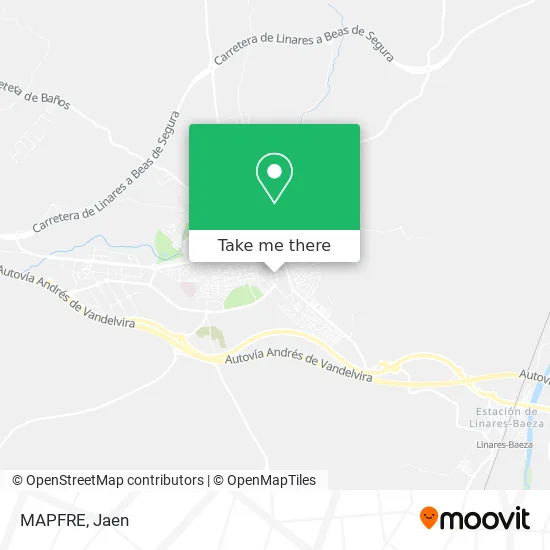
See MAPFRE, Linares, on the map
Public Transit to MAPFRE in Linares
Wondering how to get to MAPFRE in Linares? Moovit helps you find the best way to get to MAPFRE with step-by-step directions from the nearest public transit station.
Moovit provides free maps and live directions to help you navigate through your city. View schedules, routes, timetables, and find out how long does it take to get to MAPFRE in real time.
Looking for the nearest stop or station to MAPFRE? Check out this list of stops closest to your destination: Calle Huerta De Las Eras 1 (Conservatorio); Calle Alfonso X El Sabio 3; Calle Isabel La Católica; Avenida De España 6.
Bus: 6, 2, 7, 3, 3M, 1.
Want to see if there’s another route that gets you there at an earlier time? Moovit helps you find alternative routes or times. Get directions from and directions to MAPFRE easily from the Moovit App or Website.
We make riding to MAPFRE easy, which is why over 1.5 million users, including users in Linares, trust Moovit as the best app for public transit. You don’t need to download an individual bus app or train app, Moovit is your all-in-one transit app that helps you find the best bus time or train time available.
For information on prices of bus, costs and ride fares to MAPFRE, please check the Moovit app.
Use the app to navigate to popular places including to the airport, hospital, stadium, grocery store, mall, coffee shop, school, college, and university.
MAPFRE Address: Calle Jaime I El Conquistador, 3 23700 Linares street in Linares
- Restaurante Self Service Linares,
- Amazon Locker-Androne,
- La Paz,
- Prótesis y Estetica Ceramica Dental,
- Cristina Valle Peluquería,
- Guerrero Olea Domingo,
- Peña Barcelonista El Centenario Linares,
- Formacion Galeno,
- Peña Taurina El Cordobes,
- Luís María Cabrera Martínez,
- Almas,
- Cafetería Casco Antiguo,
- Pub Más Madera,
- Calvo Cano Miguel Angel,
- Terraza Café Bar Galera,
- Kebab Pizzería Paseo Los Marqueses,
- Entre Fogones,
- Caracolería Linares,
- Los Marquéses,
- Manu González
Places Near MAPFRE (Linares)
- Nuevo Estadio de la Victoria, Jaén,
- Hospital Neurotraumatológico Del H. U. De Jaén, Jaén,
- Polígono de los Olivares, Jaén,
- Castillo De Santa Catalina, Jaén,
- Estacion de Autobuses de Jaen, Jaén,
- Centro Penitenciario De Jaén, Jaén,
- Hospital Universitario Princesa de España, Jaén,
- Complejo Hospitalario De Jaén, Jaén,
- Hospital San Agustin, Linares,
- feria ubeda, el prendimiemto, Úbeda,
- Catedral de Jaén, Jaén,
- Ifeja, Jaén,
- Jaén Plaza, Jaén,
- Puente De La Sierra, Jaén,
- Hotel Ho Ciudad De Jaén, Jaén,
- Olivo Arena Jaén Paraíso Interior, Jaén,
- Carrefour, Jaén,
- Calle Catalina Mir Real, Jaén,
- Universidad De Jaén, Jaén,
- Parador de Jaen, Jaén
How to get to popular places in Jaen with public transit
Get around Linares by public transit!
Traveling around Linares has never been so easy. See step by step directions as you travel to any attraction, street or major public transit station. View bus and train schedules, arrival times, service alerts and detailed routes on a map, so you know exactly how to get to anywhere in Linares.
When traveling to any destination around Linares use Moovit's Live Directions with Get Off Notifications to know exactly where and how far to walk, how long to wait for your line, and how many stops are left. Moovit will alert you when it's time to get off — no need to constantly re-check whether yours is the next stop.
Wondering how to use public transit in Linares or how to pay for public transit in Linares? Moovit public transit app can help you navigate your way with public transit easily, and at minimum cost. It includes public transit fees, ticket prices, and costs. Looking for a map of Linares public transit lines? Moovit public transit app shows all public transit maps in Linares with all bus routes and stops on an interactive map.
Jaen has 1 transit type(s), including: bus, operated by several transit agencies, including Empresa Castillo, ALSA, Red de Consorcios de Transporte de Andalucía - Área de Jaén, Transporte Urbano de Úbeda, Servicio de Transporte Urbano de Baeza and Transportes Urbanos de Linares