How to get to MBCHC by bus?
Click on the bus route to see step by step directions with maps, line arrival times and updated time schedules.
From En La Playa, Miami Beach
69 minFrom NW 17th Ave / NW 36th St, Miami
57 minFrom In-N-Out Burger (innout), Miami
38 minFrom Mana Wynwood, Miami
60 minFrom Liv Nightclub, Fountainebleau Hotel, Miami Beach
58 minFrom Mount Sinai Medical Center, Miami Beach
55 minFrom Edgewater, Miami
43 minFrom RIU Hotels, Miami Beach
63 minFrom Tri Rail Metrorail Transfer Station, Miami
60 minFrom Target, Miami
45 min
Bus stops near MBCHC in Miami
Bus lines to MBCHC in Miami
What are the closest stations to MBCHC?
The closest stations to MBCHC are:
- Biscayne Bd & # 11707 is 164 yards away, 3 min walk.
- Biscayne Bd & Sans Souci Bd is 352 yards away, 5 min walk.
- Sans Souci Blvd@18 Ave - Tennis Center is 699 yards away, 9 min walk.
Which bus line stops near MBCHC?
3 (3 - Downtown Miami)
What’s the nearest bus station to MBCHC in Miami?
The nearest bus station to MBCHC in Miami is Biscayne Bd & # 11707. It’s a 3 min walk away.
What time is the first bus to MBCHC in Miami?
The 3 is the first bus that goes to MBCHC in Miami. It stops nearby at 3:33 AM.
What time is the last bus to MBCHC in Miami?
The 3 is the last bus that goes to MBCHC in Miami. It stops nearby at 2:34 AM.
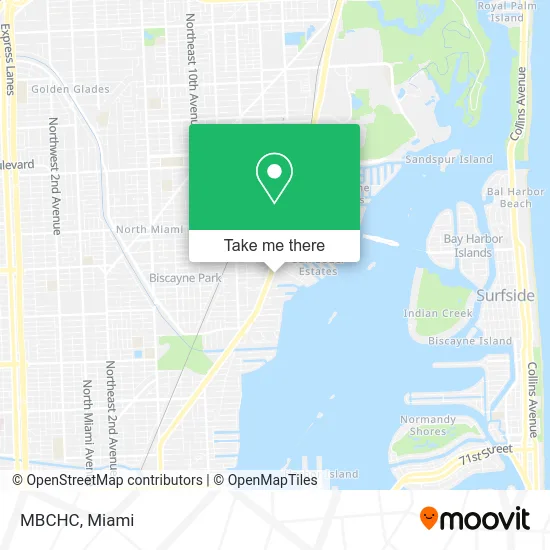
See MBCHC, Miami, on the map
Public Transit to MBCHC in Miami
Wondering how to get to MBCHC in Miami? Moovit helps you find the best way to get to MBCHC with step-by-step directions from the nearest public transit station.
Moovit provides free maps and live directions to help you navigate through your city. View schedules, routes, timetables, and find out how long does it take to get to MBCHC in real time.
Looking for the nearest stop or station to MBCHC? Check out this list of stops closest to your destination: Biscayne Bd & # 11707; Biscayne Bd & Sans Souci Bd; Sans Souci Blvd@18 Ave - Tennis Center.
Bus: 3, 203, NOMRED.
Want to see if there’s another route that gets you there at an earlier time? Moovit helps you find alternative routes or times. Get directions from and directions to MBCHC easily from the Moovit App or Website.
We make riding to MBCHC easy, which is why over 1.5 million users, including users in Miami, trust Moovit as the best app for public transit. You don’t need to download an individual bus app or train app, Moovit is your all-in-one transit app that helps you find the best bus time or train time available.
For information on prices of bus, costs and ride fares to MBCHC, please check the Moovit app.
Use the app to navigate to popular places including to the airport, hospital, stadium, grocery store, mall, coffee shop, school, college, and university.
MBCHC Address: 11645 Biscayne Blvd Miami, FL 33181 street in Miami
- Harcourt Plastic Surgeons,
- David L Skaff, DDS,
- ATM,
- Coastline Financial Services Group,
- Thomas K Taylor, MD,
- North Miami Fast Roofing,
- We Florida Financial,
- Rowin Alexandra M MD-Rowin, Alexandra M MD,
- Fain Dental Arts,
- Miami Beach Community Health Center,
- Kevlar Product,
- Institute for Intellibee Education,
- Continental Credit Solution,
- Black Market Luxury,
- Miami Kleaning Services the Restaurant Cleaning Experts,
- Aims Communications,
- Gerardo J Franco MD,
- Affordable Medical Billing,
- Kleen Image,
- All Sea Medical
Places Near MBCHC (Miami)
- Miami VA Hospital, Miami,
- Brickell City Centre, Miami,
- Little Havana, Miami,
- Aventura Mall, Miami Beach,
- Aventura Mall, Miami,
- Port of Miami Cruise Terminal, Miami,
- Sawgrass Mall, Miami,
- Bayside Marketplace, Miami,
- Miami-Dade County Courthouse, Miami,
- Miami Design District, Miami,
- Dolphin Mall Bus, Miami,
- Sawgrass mall ( FL ), Miami Beach,
- Miami Freedom Park, Miami,
- Keiser University Flagship Campus, West Palm Beach,
- Dolphin Mall, Miami,
- Zoo Miami, Miami,
- Marlins Park, Miami,
- Hard Rock Stadium, Miami Gardens,
- Wynwood, Miami,
- Richard E. Gerstein Justice Building, Miami
How to get to popular places in Miami with public transit
Get around Miami by public transit!
Traveling around Miami has never been so easy. See step by step directions as you travel to any attraction, street or major public transit station. View bus and train schedules, arrival times, service alerts and detailed routes on a map, so you know exactly how to get to anywhere in Miami.
When traveling to any destination around Miami use Moovit's Live Directions with Get Off Notifications to know exactly where and how far to walk, how long to wait for your line, and how many stops are left. Moovit will alert you when it's time to get off — no need to constantly re-check whether yours is the next stop.
Wondering how to use public transit in Miami or how to pay for public transit in Miami? Moovit public transit app can help you navigate your way with public transit easily, and at minimum cost. It includes public transit fees, ticket prices, and costs. Looking for a map of Miami public transit lines? Moovit public transit app shows all public transit maps in Miami with all Bus, Train, Light Rail and Ferry routes and stops on an interactive map.
Miami has 4 transit type(s), including: Bus, Train, Light Rail and Ferry, operated by several transit agencies, including Broward County Transit, Miami-Dade Transit, Metrorail, Palm Tran, Tri-Rail, Brightline, MARTY, City of Homestead Trolley, Key West Transit, Treasure Coast Connector, GoLine IRT, Amtrak, Greyhound-us, FlixBus-us and Aventura Express Shuttle Bus