How to get to MB Buildings by bus?
Click on the bus route to see step by step directions with maps, line arrival times and updated time schedules.
Bus stops near MB Buildings in Manciano
Bus lines to MB Buildings in Manciano
What are the closest stations to MB Buildings?
The closest stations to MB Buildings are:
- Manciano South Ring Road is 279 meters away, 4 min walk.
- Manciano Pace is 522 meters away, 7 min walk.
Which bus lines stop near MB Buildings?
These bus lines stop near MB Buildings: 11P, 41P.
What’s the nearest bus station to MB Buildings in Manciano?
The nearest bus station to MB Buildings in Manciano is Manciano South Ring Road. It’s a 4 min walk away.
What time is the first bus to MB Buildings in Manciano?
The 11P is the first bus that goes to MB Buildings in Manciano. It stops nearby at 7:00 AM.
What time is the last bus to MB Buildings in Manciano?
The 11P is the last bus that goes to MB Buildings in Manciano. It stops nearby at 5:50 PM.
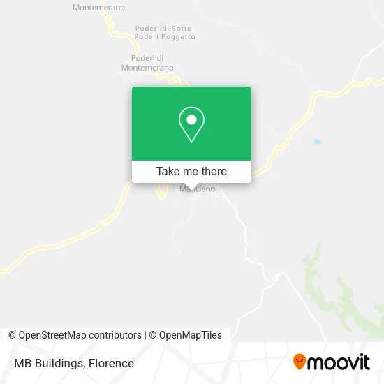
See MB Buildings, Manciano, on the map
Public Transit to MB Buildings in Manciano
Wondering how to get to MB Buildings in Manciano? Moovit helps you find the best way to get to MB Buildings with step-by-step directions from the nearest public transit station.
Moovit provides free maps and live directions to help you navigate through your city. View schedules, routes, timetables, and find out how long does it take to get to MB Buildings in real time.
Looking for the nearest stop or station to MB Buildings? Check out this list of stops closest to your destination: Manciano South Ring Road; Manciano Pace.
Bus: 11P, 41P, 8/G, 17P, E01, E02, E03, E04.
Want to see if there’s another route that gets you there at an earlier time? Moovit helps you find alternative routes or times. Get directions from and directions to MB Buildings easily from the Moovit App or Website.
We make riding to MB Buildings easy, which is why over 1.5 million users, including users in Manciano, trust Moovit as the best app for public transit. You don’t need to download an individual bus app or train app, Moovit is your all-in-one transit app that helps you find the best bus time or train time available.
For information on prices of bus and train, costs and ride fares to MB Buildings, please check the Moovit app.
Use the app to navigate to popular places including to the airport, hospital, stadium, grocery store, mall, coffee shop, school, college, and university.
MB Buildings Address: Via Trieste, 1 58014 Manciano street in Manciano
- La Casa all'Archetto,
- Holiday Home Terme di Saturnia Bed and Breakfast Manciano Vacation Homes Saturnia Hotel,
- A.S. Manciano Football,
- CSA Informatics by Lorenzoni Lidiano,
- Agronomist Roi Iacopo,
- Befarmer,
- Le Muretta,
- Idea Tuscany AVT,
- Biondi Giorgio,
- Teo's Hill,
- Aurinia,
- Cooking Class with Chef Barbara,
- Dario Caprini,
- Bertolini Driving School,
- Corima,
- Trattoria Da Paolino,
- Salimbeni Paolo,
- Bellavista Bar,
- Niccolai,
- Agritel
Places Near MB Buildings (Manciano)
- IKEA Florence, Sesto Fiorentino,
- Santa Maria Novella Station, Florence,
- Asmana, Campi Bisenzio,
- Piero Palagi Hospital Facility-Florence, Florence,
- Torregalli Hospital Scandicci *, Scandicci,
- Michelangelo Square, Florence,
- Mandela Forum (Nelson Mandela Forum), Florence,
- Field of Mars, Florence,
- Verdi Theater, Florence,
- Campi Bisenzio, Campi Bisenzio,
- Artemio Franchi Municipal Stadium, Florence,
- Nelson Mandela Forum, Florence,
- Michelangelo Square, Florence,
- Tobacco Manufacture, Florence,
- Cascine Park, Florence,
- OOO, Florence,
- Viola Park, Bagno a Ripoli,
- Santa Maria Nuova Hospital, Florence,
- Wanny Palace, Florence,
- I Gigli, Campi Bisenzio
How to get to popular places in Florence with public transit
Get around Manciano by public transit!
Traveling around Manciano has never been so easy. See step by step directions as you travel to any attraction, street or major public transit station. View bus and train schedules, arrival times, service alerts and detailed routes on a map, so you know exactly how to get to anywhere in Manciano.
When traveling to any destination around Manciano use Moovit's Live Directions with Get Off Notifications to know exactly where and how far to walk, how long to wait for your line, and how many stops are left. Moovit will alert you when it's time to get off — no need to constantly re-check whether yours is the next stop.
Wondering how to use public transit in Manciano or how to pay for public transit in Manciano? Moovit public transit app can help you navigate your way with public transit easily, and at minimum cost. It includes public transit fees, ticket prices, and costs. Looking for a map of Manciano public transit lines? Moovit public transit app shows all public transit maps in Manciano with all Bus, Train, Light Rail, Ferry and Funicular routes and stops on an interactive map.
Florence has 5 transit type(s), including: Bus, Train, Light Rail, Ferry and Funicular, operated by several transit agencies, including Florence Urban - Tuscan Bus Lines, GEST, Florence and Province - Tuscan Bus Lines, Livorno and Province - Tuscan Bus Lines, Arezzo, Florence and Provinces - Tuscan Bus Lines, Prato and Province - Tuscan Bus Lines, Massa, Carrara and Province - Tuscan Bus Lines, Pisa and Province - Tuscan Bus Lines, Grosseto, Siena and Provinces - Tuscan Bus Lines, Arezzo, Siena and Provinces - Tuscan Bus Lines, Pistoia and Province - Tuscan Bus Lines, Siena and Province - Tuscan Bus Lines, Arezzo and Province - Tuscan Bus Lines, Lucca and Province - Tuscan Bus Lines and Trenitalia