How to get to MPB by bus?
Click on the bus route to see step by step directions with maps, line arrival times and updated time schedules.
From The Ballpark of the Palm Beaches, West Palm Beach
43 minFrom Lake Worth, FL, Lake Worth
48 minFrom Magnolia Park, West Palm Beach
40 minFrom Palm Beach State College, Lake Worth
63 minFrom South Florida Fairgrounds, Royal Palm Beach-West Jupiter
42 minFrom Singer Island, Riviera Beach
65 minFrom Amazon Fulfillment Center-DMI7, West Palm Beach
40 minFrom HCA Florida JFK North Hospital-ER, West Palm Beach
50 minFrom Congress/45th Street, West Palm Beach
39 minFrom Lake Worth Tri Rail Station, Lake Worth
77 min
How to get to MPB by train?
Click on the train route to see step by step directions with maps, line arrival times and updated time schedules.
Bus stops near MPB in West Palm Beach
Train stations near MPB in West Palm Beach
Bus lines to MPB in West Palm Beach
What are the closest stations to MPB?
The closest stations to MPB are:
- OKEECHOBEE RD at CONGRESS AVE is 200 yards away, 3 min walk.
- West Palm Beach is 728 yards away, 10 min walk.
- OKEECHOBEE BLVD at SPENCER DR is 1054 yards away, 13 min walk.
- CONGRESS AVE at OLD CONGRESS AVE is 1078 yards away, 13 min walk.
- West Palm Beach Station is 3468 yards away, 41 min walk.
- West Palm Beach Amtrak Station is 3533 yards away, 42 min walk.
Which bus line stops near MPB?
43 (Rt 43 Eastbound)
Which train line stops near MPB?
TRIRAIL (Northbound To Mangonia Park)
What’s the nearest train station to MPB in West Palm Beach?
The nearest train station to MPB in West Palm Beach is West Palm Beach. It’s a 10 min walk away.
What’s the nearest bus station to MPB in West Palm Beach?
The nearest bus station to MPB in West Palm Beach is OKEECHOBEE RD at CONGRESS AVE. It’s a 3 min walk away.
What time is the first train to MPB in West Palm Beach?
The TRIRAIL is the first train that goes to MPB in West Palm Beach. It stops nearby at 3:56 AM.
What time is the last train to MPB in West Palm Beach?
The FLORIDIAN is the last train that goes to MPB in West Palm Beach. It stops nearby at 4:16 PM.
What time is the first bus to MPB in West Palm Beach?
The 43 is the first bus that goes to MPB in West Palm Beach. It stops nearby at 5:14 AM.
What time is the last bus to MPB in West Palm Beach?
The 43 is the last bus that goes to MPB in West Palm Beach. It stops nearby at 10:38 PM.
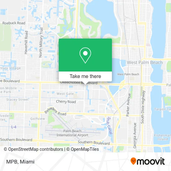
See MPB, West Palm Beach, on the map
Public Transit to MPB in West Palm Beach
Wondering how to get to MPB in West Palm Beach? Moovit helps you find the best way to get to MPB with step-by-step directions from the nearest public transit station.
Moovit provides free maps and live directions to help you navigate through your city. View schedules, routes, timetables, and find out how long does it take to get to MPB in real time.
Looking for the nearest stop or station to MPB? Check out this list of stops closest to your destination: OKEECHOBEE RD at CONGRESS AVE; West Palm Beach; OKEECHOBEE BLVD at SPENCER DR; CONGRESS AVE at OLD CONGRESS AVE; West Palm Beach Station; West Palm Beach Amtrak Station.
Bus: 43, 40, 33, 44.Train: TRIRAIL, BLFM, FLORIDIAN, SILVER METEOR.
Want to see if there’s another route that gets you there at an earlier time? Moovit helps you find alternative routes or times. Get directions from and directions to MPB easily from the Moovit App or Website.
We make riding to MPB easy, which is why over 1.5 million users, including users in West Palm Beach, trust Moovit as the best app for public transit. You don’t need to download an individual bus app or train app, Moovit is your all-in-one transit app that helps you find the best bus time or train time available.
For information on prices of bus and train, costs and ride fares to MPB, please check the Moovit app.
Use the app to navigate to popular places including to the airport, hospital, stadium, grocery store, mall, coffee shop, school, college, and university.
MPB Address: 1000 N Congress Ave West Palm Beach, FL 33409 street in West Palm Beach
- Stein Mimi CPA,
- Insurance Store,
- Hug A Cup Cafe,
- Master Realty,
- Manhattan Construction,
- TEXACO,
- Soapy Shark Car Wash,
- Palm Beach Airport Parking-Park N Save,
- The Bombshell Boutique,
- ChargePoint,
- Taqueria Saborcito Chapin,
- Fat Boy Sauceless Ribs & More,
- Wright Touch Caribbean Cuisine,
- Lakeside Mobile Home Park,
- Exxon,
- Abraham Local Locksmith,
- metroPCS 1784 N. Congr,
- Fly Fades Barbershop,
- Palm Beach Hot Yoga,
- Upland Tax
Places Near MPB (West Palm Beach)
- Wynwood, Miami,
- Sawgrass mall ( FL ), Miami Beach,
- Miami-Dade County Courthouse, Miami,
- Sawgrass Mall, Miami,
- Keiser University Flagship Campus, West Palm Beach,
- Marlins Park, Miami,
- Bayside Marketplace, Miami,
- Aventura Mall, Miami Beach,
- Zoo Miami, Miami,
- Miami Design District, Miami,
- Hard Rock Stadium, Miami Gardens,
- Miami Freedom Park, Miami,
- Dolphin Mall Bus, Miami,
- Little Havana, Miami,
- Aventura Mall, Miami,
- Miami VA Hospital, Miami,
- Brickell City Centre, Miami,
- Dolphin Mall, Miami,
- Richard E. Gerstein Justice Building, Miami,
- Port of Miami Cruise Terminal, Miami
How to get to popular places in Miami with public transit
Get around West Palm Beach by public transit!
Traveling around West Palm Beach has never been so easy. See step by step directions as you travel to any attraction, street or major public transit station. View bus and train schedules, arrival times, service alerts and detailed routes on a map, so you know exactly how to get to anywhere in West Palm Beach.
When traveling to any destination around West Palm Beach use Moovit's Live Directions with Get Off Notifications to know exactly where and how far to walk, how long to wait for your line, and how many stops are left. Moovit will alert you when it's time to get off — no need to constantly re-check whether yours is the next stop.
Wondering how to use public transit in West Palm Beach or how to pay for public transit in West Palm Beach? Moovit public transit app can help you navigate your way with public transit easily, and at minimum cost. It includes public transit fees, ticket prices, and costs. Looking for a map of West Palm Beach public transit lines? Moovit public transit app shows all public transit maps in West Palm Beach with all Bus, Train, Light Rail and Ferry routes and stops on an interactive map.
Miami has 4 transit type(s), including: Bus, Train, Light Rail and Ferry, operated by several transit agencies, including Broward County Transit, Miami-Dade Transit, Metrorail, Palm Tran, Tri-Rail, Brightline, MARTY, City of Homestead Trolley, Key West Transit, Treasure Coast Connector, GoLine IRT, Amtrak, Greyhound-us, FlixBus-us and Aventura Express Shuttle Bus