M L King Blvd @ Wheeler St stop - Thursday schedule
| Line | Direction | Time |
|---|---|---|
| 25 | Mission Bend Tc - Westbound | 5:10 AM |
| 80 | Mlk & Park Village - Southbound | 5:23 AM |
| 25 | Westchase - Westbound | 5:25 AM |
| 25 | Mission Bend Tc - Westbound | 5:41 AM |
| 80 | Mlk & Park Village - Southbound | 5:43 AM |
| 25 | Westchase - Westbound | 5:56 AM |
| 80 | Mlk & Park Village - Southbound | 6:03 AM |
| 25 | Mission Bend Tc - Westbound | 6:06 AM |
| 25 | Westchase - Westbound | 6:16 AM |
| 80 | Mlk & Park Village - Southbound | 6:23 AM |
| 25 | Mission Bend Tc - Westbound | 6:26 AM |
| 25 | Westchase - Westbound | 6:36 AM |
| 80 | Mlk & Park Village - Southbound | 6:45 AM |
| 25 | Mission Bend Tc - Westbound | 6:46 AM |
| 25 | Westchase - Westbound | 6:56 AM |
| 80 | Mlk & Park Village - Southbound | 7:05 AM |
| 25 | Mission Bend Tc - Westbound | 7:06 AM |
| 25 | Westchase - Westbound | 7:16 AM |
| 80 | Mlk & Park Village - Southbound | 7:25 AM |
| 25 | Mission Bend Tc - Westbound | 7:26 AM |
| 25 | Westchase - Westbound | 7:36 AM |
| 25 | Mission Bend Tc - Westbound | 7:46 AM |
| 80 | Mlk & Park Village - Southbound | 7:47 AM |
| 25 | Westchase - Westbound | 7:56 AM |
| 25 | Mission Bend Tc - Westbound | 8:06 AM |
Directions to M L King Blvd @ Wheeler St stop (Houston) with public transit
The following transit lines have routes that pass near M L King Blvd @ Wheeler St
 Bus: 25, 80, 29.
- Light Rail: 900.
How to get to M L King Blvd @ Wheeler St stop by bus?
Click on the bus route to see step by step directions with maps, line arrival times and updated time schedules.
Bus stops near M L King Blvd @ Wheeler St stop in Houston
- M L King Blvd @ Uh University Dr, 4 min walk,
- Mac Gregor Way @ University Oaks Bl, 11 min walk,
Light Rail stations near M L King Blvd @ Wheeler St station in Houston
- Macgregor Park/Martin Luther King, Jr., 18 min walk,
Bus lines to M L King Blvd @ Wheeler St stop in Houston
- 25, Eastwood Tc - Eastbound,
- 80, Tidwell Tc - Northbound,
- 29, Kashmere Tc - Northbound,
What are the closest stations to M L King Blvd @ Wheeler St?
The closest stations to M L King Blvd @ Wheeler St are:
- M L King Blvd @ Uh University Dr stop is 274 yards away, 4 min walk.
- Mac Gregor Way @ University Oaks Bl stop is 881 yards away, 11 min walk.
- Macgregor Park/Martin Luther King, Jr. station is 1492 yards away, 18 min walk.
Which bus lines stop near M L King Blvd @ Wheeler St?
These bus lines stop near M L King Blvd @ Wheeler St: 25, 80.
Which light rail line stops near M L King Blvd @ Wheeler St?
900 (Palm Center - Southbound)
What’s the nearest light rail station to M L King Blvd @ Wheeler St in Houston?
The nearest light rail station to M L King Blvd @ Wheeler St in Houston is Macgregor Park/Martin Luther King, Jr.. It’s a 18 min walk away.
What’s the nearest bus station to M L King Blvd @ Wheeler St in Houston?
The nearest bus station to M L King Blvd @ Wheeler St in Houston is M L King Blvd @ Uh University Dr. It’s a 4 min walk away.
What time is the first light rail to M L King Blvd @ Wheeler St in Houston?
The 900 is the first light rail that goes to M L King Blvd @ Wheeler St in Houston. It stops nearby at 3:42 AM.
What time is the last light rail to M L King Blvd @ Wheeler St in Houston?
The 900 is the last light rail that goes to M L King Blvd @ Wheeler St in Houston. It stops nearby at 1:03 AM.
What time is the first bus to M L King Blvd @ Wheeler St in Houston?
The 25 is the first bus that goes to M L King Blvd @ Wheeler St in Houston. It stops nearby at 4:09 AM.
What time is the last bus to M L King Blvd @ Wheeler St in Houston?
The 25 is the last bus that goes to M L King Blvd @ Wheeler St in Houston. It stops nearby at 1:45 AM.
M L King Blvd @ Wheeler St station
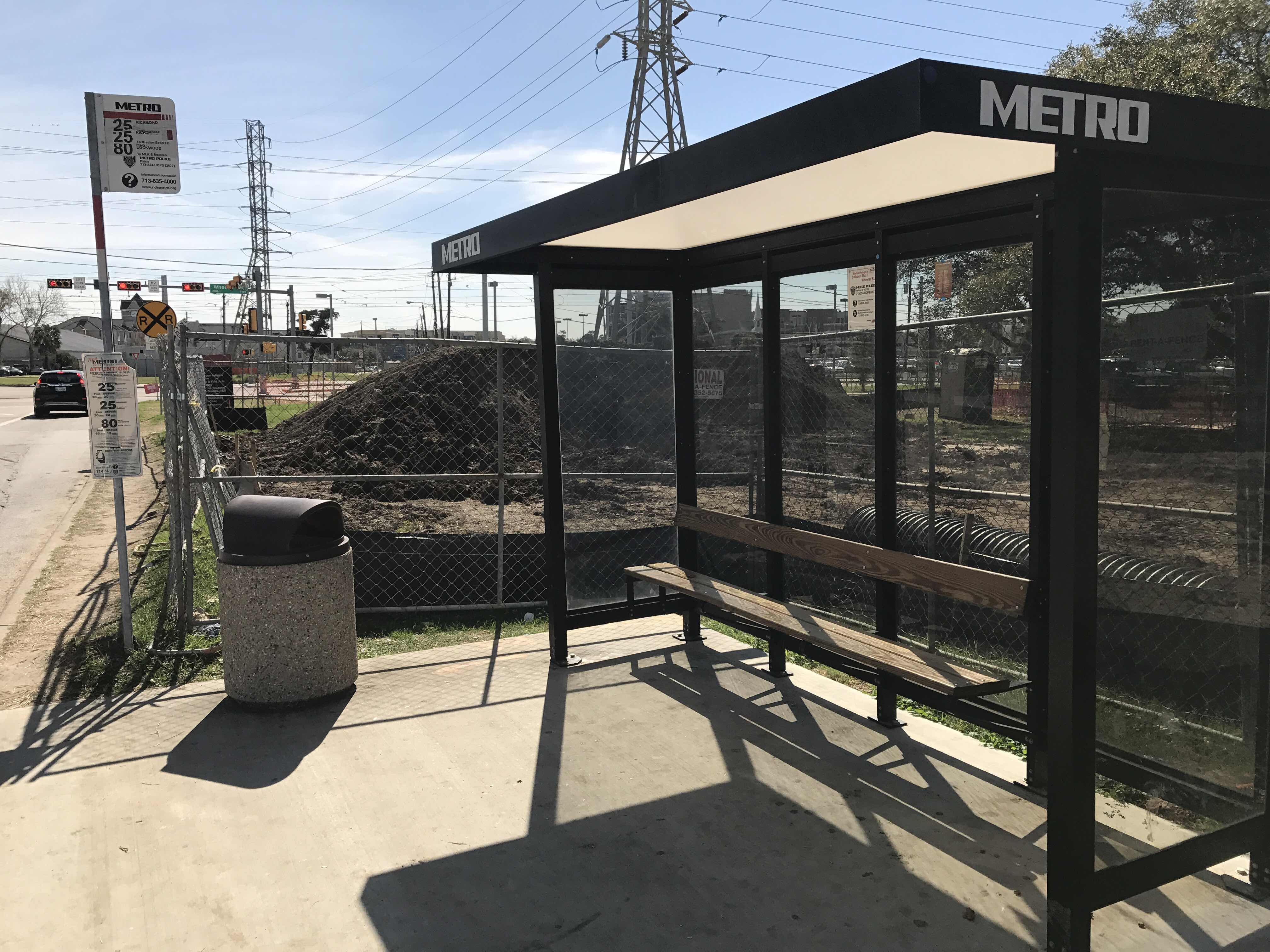 Taken by Thomas C.
See M L King Blvd @ Wheeler St stop, Houston, on the map
Public transit to M L King Blvd @ Wheeler St stop (ID: 11474) in Houston
Looking for directions to M L King Blvd @ Wheeler St in Houston, United States?
Download the Moovit App to find the current schedule and step-by-step directions for Bus or Light Rail routes that pass through M L King Blvd @ Wheeler St.
Looking for the nearest stops closest to M L King Blvd @ Wheeler St ? Check out this list of closest stops to your destination: M L King Blvd @ Uh University Dr; Mac Gregor Way @ University Oaks Bl; Macgregor Park/Martin Luther King.
Bus: 25, 80, 29.Light Rail: 900.
We make riding on public transit to M L King Blvd @ Wheeler St easy, which is why over 1.7 billion users, including users in Houston trust Moovit as the best app for public transit.
Use the app to navigate to popular places including to the airport, hospital, stadium, grocery store, mall, coffee shop, school, college, and university.
M L King Blvd @ Wheeler St stop’s code is 11474
The first line to this stop is 25, at 5:10 AM, and the last line is 80 at 4:58 AM.
Calhoun Road, Houston, TX, USA
This stop serves METRO’s lines
Popular routes from M L King Blvd @ Wheeler St stop, Houston
- M L King Blvd @ Uh University Dr,
- Mac Gregor Way @ University Oaks Bl
Bus stops near M L King Blvd @ Wheeler St stop
- Macgregor Park/Martin Luther King, Jr.
Light Rail station near M L King Blvd @ Wheeler St station
- Holcombe Blvd @ Brompton St,
- Heights Blvd @ E 4th St,
- Aldine Bender Rd @ Lee Rd,
- Long Point Rd @ Campbell Rd,
- Beechnut St @ Maplecrest Dr,
- S Rice Ave @ Westpark Dr,
- Clearwood St @ Meldrum Ln,
- Fannin St @ Jefferson St,
- Smith St @ Preston St,
- Bellfort Ave @ S Wayside Dr,
- W 34th St @ Mangum Rd,
- Quitman/Near Northside,
- Fm 1960 Rd @ Hollister Rd,
- Memorial Dr @ Shepherd Dr,
- Dairy Ashford Rd @ Ashford Point Dr,
- Woodridge Dr @ Gulfgate Center,
- Chimney Rock Rd @ Gasmer Dr,
- Eado/Stadium,
- Chimney Rock Rd @ Richmond Ave,
- Martin Luther King @ Fairgreen Ln
Popular public transit stations in Houston
Get around Houston by public transit!
Traveling around Houston has never been so easy. See step by step directions as you travel to any attraction, street or major public transit station. View bus and train schedules, arrival times, service alerts and detailed routes on a map, so you know exactly how to get to anywhere in Houston.
When traveling to any destination around Houston use Moovit's Live Directions with Get Off Notifications to know exactly where and how far to walk, how long to wait for your line, and how many stops are left. Moovit will alert you when it's time to get off — no need to constantly re-check whether yours is the next stop.
Wondering how to use public transit in Houston or how to pay for public transit in Houston? Moovit public transit app can help you navigate your way with public transit easily, and at minimum cost. It includes public transit fees, ticket prices, and costs. Looking for a map of Houston public transit lines? Moovit public transit app shows all public transit maps in Houston with all Bus and Light Rail routes and stops on an interactive map.
Houston has 2 transit type(s), including: Bus and Light Rail, operated by several transit agencies, including METRO, Greyhound-us and FlixBus-us