Main-10th stop - Thursday schedule
| Line | Direction | Time |
|---|---|---|
| 53 | Irvine - West Yale and Alton | 4:40 AM |
| 83 | Laguna Hills Transp Center | 4:46 AM |
| 53 | Irvine - West Yale and Alton | 5:00 AM |
| 83 | Laguna Hills Transp Center | 5:17 AM |
| 53 | Irvine - West Yale and Alton | 5:21 AM |
| 53 | Irvine - West Yale and Alton | 5:41 AM |
| 83 | Laguna Hills Transp Center | 5:47 AM |
| 53 | Irvine - West Yale and Alton | 6:01 AM |
| 83 | Laguna Hills Transp Center | 6:17 AM |
| 53 | Macarthur Blvd and Macarthur Place - Santa Ana | 6:21 AM |
| 53 | Irvine - West Yale and Alton | 6:43 AM |
| 83 | Laguna Hills Transp Center | 6:47 AM |
| 53 | Macarthur Blvd and Macarthur Place - Santa Ana | 7:07 AM |
| 83 | Laguna Hills Transp Center | 7:17 AM |
| 53 | Irvine - West Yale and Alton | 7:30 AM |
| 83 | Laguna Hills Transp Center | 7:47 AM |
| 53 | Macarthur Blvd and Macarthur Place - Santa Ana | 7:54 AM |
| 53 | Irvine - West Yale and Alton | 8:16 AM |
| 83 | Laguna Hills Transp Center | 8:17 AM |
| 53 | Macarthur Blvd and Macarthur Place - Santa Ana | 8:38 AM |
| 83 | Laguna Hills Transp Center | 8:47 AM |
| 53 | Irvine - West Yale and Alton | 9:00 AM |
| 83 | Laguna Hills Transp Center | 9:17 AM |
| 53 | Macarthur Blvd and Macarthur Place - Santa Ana | 9:22 AM |
| 53 | Irvine - West Yale and Alton | 9:42 AM |
Directions to Main-10th stop (Santa Ana) with public transit
The following transit lines have routes that pass near Main-10th
 Bus: 53, 553, 83, 862.
- Train: IE-OC LINE, OC LINE, PACIFIC SURFLINER.
How to get to Main-10th stop by bus?
Click on the bus route to see step by step directions with maps, line arrival times and updated time schedules.
Bus stops near Main-10th stop in Santa Ana
- Main-10th, 2 min walk,
- Main-5th, 2 min walk,
- Civic Center-Main, 5 min walk,
Train stations near Main-10th station in Santa Ana
- Santa Ana Station, 17 min walk,
Bus lines to Main-10th stop in Santa Ana
- 53, Macarthur Blvd and Macarthur Place - Santa Ana,
- 83, Laguna Hills Transp Center,
- 553, Costa Mesa - South Coast Plaza,
- 862, Santa Ana - Civic Center,
What are the closest stations to Main-10th?
The closest stations to Main-10th are:
- Main-10th stop is 84 yards away, 2 min walk.
- Main-5th stop is 153 yards away, 2 min walk.
- Civic Center-Main stop is 397 yards away, 5 min walk.
- Santa Ana Station is 1400 yards away, 17 min walk.
Which bus lines stop near Main-10th?
These bus lines stop near Main-10th: 53, 553, 83.
What’s the nearest train station to Main-10th in Santa Ana?
The nearest train station to Main-10th in Santa Ana is Santa Ana Station. It’s a 17 min walk away.
What’s the nearest bus station to Main-10th in Santa Ana?
The nearest bus stations to Main-10th in Santa Ana are Main-10th and Main-5th. The closest one is a 2 min walk away.
What time is the first train to Main-10th in Santa Ana?
The IE-OC LINE is the first train that goes to Main-10th in Santa Ana. It stops nearby at 5:03 AM.
What time is the last train to Main-10th in Santa Ana?
The PACIFIC SURFLINER is the last train that goes to Main-10th in Santa Ana. It stops nearby at 11:01 PM.
What time is the first bus to Main-10th in Santa Ana?
The 53 is the first bus that goes to Main-10th in Santa Ana. It stops nearby at 4:19 AM.
What time is the last bus to Main-10th in Santa Ana?
The 53 is the last bus that goes to Main-10th in Santa Ana. It stops nearby at 12:35 AM.
Main-10th station
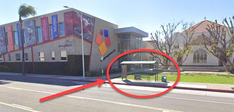 Taken by Anonymous
See Main-10th stop, Santa Ana, on the map
Public transit to Main-10th stop (ID: 6516) in Santa Ana
Looking for directions to Main-10th in Santa Ana, United States?
Download the Moovit App to find the current schedule and step-by-step directions for Bus routes that pass through Main-10th.
Looking for the nearest stops closest to Main-10th ? Check out this list of closest stops to your destination: Main-10th; Main-5th; Civic Center-Main; Santa Ana Station.
Bus: 53, 553, 83, 862.Train: IE-OC LINE, OC LINE, PACIFIC SURFLINER.
We make riding on public transit to Main-10th easy, which is why over 1.7 billion users, including users in Santa Ana trust Moovit as the best app for public transit.
Use the app to navigate to popular places including to the airport, hospital, stadium, grocery store, mall, coffee shop, school, college, and university.
Main-10th stop’s code is 6516
The first line to this stop is 53, at 4:40 AM, and the last line is 53 at 4:20 AM.
912 N Main St, Santa Ana, CA, USA
This stop serves OCTA’s lines
- Main-10th,
- Main-5th,
- Civic Center-Main
Bus stops near Main-10th stop
- Santa Ana Station
Train station near Main-10th station
- Pacific Coast Highway / Topanga Canyon,
- 30th St. W. & Ave. J-8,
- Av Mall,
- San Fernando at Colorado,
- The Shops at Santa Anita,
- Soledad Canyon Rd & Prima Way,
- Santa Fe & Carson NE,
- Santa Anita / Duarte,
- Snow Valley Mountain Resort - Hwy 18,
- Imperial / California,
- Pacific Coast Highway / Kanan Dume,
- Hillhurst Ave & Franklin Ave,
- Compton / Wilmington,
- Rancho Vista Blvd. & 15th St. W.,
- State & Los Olivos,
- Maclay / Glenoaks,
- Warner and Bristol,
- Willow & Atlantic SE,
- Valley View-Artesia,
- La Brea & Obama Blvd
Popular public transit stations in Santa Ana
Get around Santa Ana by public transit!
Traveling around Santa Ana has never been so easy. See step by step directions as you travel to any attraction, street or major public transit station. View bus and train schedules, arrival times, service alerts and detailed routes on a map, so you know exactly how to get to anywhere in Santa Ana.
When traveling to any destination around Santa Ana use Moovit's Live Directions with Get Off Notifications to know exactly where and how far to walk, how long to wait for your line, and how many stops are left. Moovit will alert you when it's time to get off — no need to constantly re-check whether yours is the next stop.
Wondering how to use public transit in Santa Ana or how to pay for public transit in Santa Ana? Moovit public transit app can help you navigate your way with public transit easily, and at minimum cost. It includes public transit fees, ticket prices, and costs. Looking for a map of Santa Ana public transit lines? Moovit public transit app shows all public transit maps in Santa Ana with all Bus, Train, Subway, Ferry and Funicular routes and stops on an interactive map.
Los Angeles has 5 transit type(s), including: Bus, Train, Subway, Ferry and Funicular, operated by several transit agencies, including Metro, Metro Event Service, Alhambra Community Transit (ACT), Arcadia Transit, Artesia Transit, AVTA, Baldwin Park Transit, Beach Cities Transit, Beaumont Transit, Bell Gardens Town Trolley, Bellflower Bus, Big Blue Bus, Burbank Bus, Calabasas Trolley and Camarillo Area Transit