Main St & Chapel Ave stop - Tuesday schedule
| Line | Direction | Time |
|---|---|---|
| GREEN | Clockwise Loop | 7:24 AM |
| GREEN | Clockwise Loop | 7:44 AM |
| GREEN | Clockwise Loop | 8:04 AM |
| GREEN | Clockwise Loop | 8:24 AM |
| GREEN | Clockwise Loop | 8:44 AM |
| GREEN | Clockwise Loop | 9:04 AM |
| GREEN | Clockwise Loop | 9:24 AM |
| GREEN | Clockwise Loop | 9:44 AM |
| GREEN | Clockwise Loop | 10:04 AM |
| GREEN | Clockwise Loop | 10:24 AM |
| GREEN | Clockwise Loop | 10:44 AM |
| GREEN | Clockwise Loop | 11:04 AM |
| GREEN | Clockwise Loop | 11:24 AM |
| GREEN | Clockwise Loop | 11:44 AM |
| GREEN | Clockwise Loop | 12:04 PM |
| GREEN | Clockwise Loop | 12:24 PM |
| GREEN | Clockwise Loop | 12:44 PM |
| GREEN | Clockwise Loop | 1:04 PM |
| GREEN | Clockwise Loop | 1:24 PM |
| GREEN | Clockwise Loop | 1:44 PM |
| GREEN | Clockwise Loop | 2:04 PM |
| GREEN | Clockwise Loop | 2:24 PM |
| GREEN | Clockwise Loop | 2:44 PM |
| GREEN | Clockwise Loop | 3:04 PM |
| GREEN | Clockwise Loop | 3:24 PM |
Directions to Main St & Chapel Ave stop (Alhambra) with public transit
The following transit lines have routes that pass near Main St & Chapel Ave
 Bus: 30, 78, BLUE, GREEN.
- Subway: A LINE.
How to get to Main St & Chapel Ave stop by bus?
Click on the bus route to see step by step directions with maps, line arrival times and updated time schedules.
Bus stops near Main St & Chapel Ave stop in Alhambra
- Main / Chapel, 1 min walk,
- Main St & Chapel Ave, 1 min walk,
- Chapel Ave & Main St (South), 2 min walk,
- Garfield/Main, 5 min walk,
Subway stations near Main St & Chapel Ave station in Alhambra
- South Pasadena Station, 49 min walk,
Bus lines to Main St & Chapel Ave stop in Alhambra
- 78, Las Tunas - Live Oak,
- GREEN, Counterclockwise Loop,
- BLUE, Civic Center,
- 30, 30 Garfield Ave,
What are the closest stations to Main St & Chapel Ave?
The closest stations to Main St & Chapel Ave are:
- Main / Chapel stop is 52 yards away, 1 min walk.
- Main St & Chapel Ave stop is 68 yards away, 1 min walk.
- Chapel Ave & Main St (South) stop is 90 yards away, 2 min walk.
- Garfield/Main stop is 358 yards away, 5 min walk.
- South Pasadena Station is 4114 yards away, 49 min walk.
Which bus lines stop near Main St & Chapel Ave?
These bus lines stop near Main St & Chapel Ave: 30, 78, BLUE, GREEN.
What’s the nearest bus station to Main St & Chapel Ave in Alhambra?
The nearest bus stations to Main St & Chapel Ave in Alhambra are Main / Chapel and Main St & Chapel Ave. The closest one is a 1 min walk away.
What time is the first subway to Main St & Chapel Ave in Alhambra?
The A LINE is the first subway that goes to Main St & Chapel Ave in Alhambra. It stops nearby at 3:55 AM.
What time is the last subway to Main St & Chapel Ave in Alhambra?
The A LINE is the last subway that goes to Main St & Chapel Ave in Alhambra. It stops nearby at 1:09 AM.
What time is the first bus to Main St & Chapel Ave in Alhambra?
The 78 is the first bus that goes to Main St & Chapel Ave in Alhambra. It stops nearby at 4:23 AM.
What time is the last bus to Main St & Chapel Ave in Alhambra?
The 78 is the last bus that goes to Main St & Chapel Ave in Alhambra. It stops nearby at 1:52 AM.
Main St & Chapel Ave station
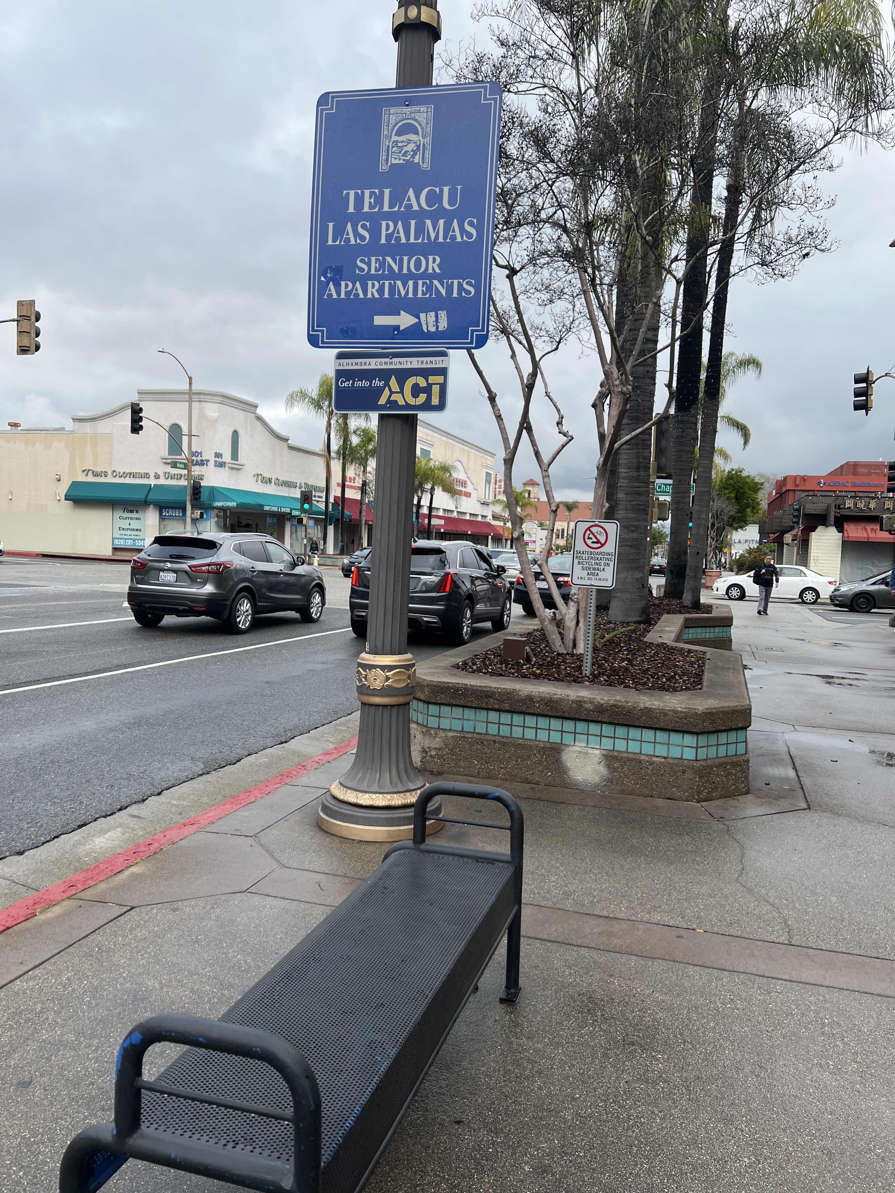 Taken by Anonymous
See Main St & Chapel Ave stop, Alhambra, on the map
Public transit to Main St & Chapel Ave stop in Alhambra
Looking for directions to Main St & Chapel Ave in Alhambra, United States?
Download the Moovit App to find the current schedule and step-by-step directions for Bus routes that pass through Main St & Chapel Ave.
Looking for the nearest stops closest to Main St & Chapel Ave ? Check out this list of closest stops to your destination: Main / Chapel; Main St & Chapel Ave; Chapel Ave & Main St (South); Garfield/Main; South Pasadena Station.
Bus: 30, 78, BLUE, GREEN.Subway: A LINE.
We make riding on public transit to Main St & Chapel Ave easy, which is why over 1.7 billion users, including users in Alhambra trust Moovit as the best app for public transit.
Use the app to navigate to popular places including to the airport, hospital, stadium, grocery store, mall, coffee shop, school, college, and university.
The first line to this stop is GREEN, at 7:24 AM, and the last line is GREEN at 6:04 PM.
240 E Main St, Alhambra, CA, USA
This stop serves Alhambra Community Transit’s lines
Popular routes from Main St & Chapel Ave stop, Alhambra
- Main / Chapel,
- Main St & Chapel Ave,
- Chapel Ave & Main St (South),
- Garfield/Main
Bus stops near Main St & Chapel Ave stop
- South Pasadena Station
Subway station near Main St & Chapel Ave station
- Alameda / Arcadia,
- Western / Exposition,
- 5th / Colorado,
- 30th St. W. & Ave. J-8,
- Sepulveda Blvd/Sawtelle Blvd,
- 7th St. & Pacific Ave.,
- Vermont / Beverly,
- MLK Blvd & Magic Johnson Theater,
- Mulholland / Valmar,
- Redondo Beach Station,
- 6th / Alvarado,
- Union Ave & Pico Blvd (Northbound),
- Olive / 5th,
- Rosemead / Arcadia,
- Sherman Way / Etiwanda,
- Magnolia & Anaheim NE,
- 6th St. E. & Palmdale Blvd.,
- Olympic / Grande Vista,
- Central / Olympic,
- Sherman Way / Eton
Popular public transit stations in Alhambra
Get around Alhambra by public transit!
Traveling around Alhambra has never been so easy. See step by step directions as you travel to any attraction, street or major public transit station. View bus and train schedules, arrival times, service alerts and detailed routes on a map, so you know exactly how to get to anywhere in Alhambra.
When traveling to any destination around Alhambra use Moovit's Live Directions with Get Off Notifications to know exactly where and how far to walk, how long to wait for your line, and how many stops are left. Moovit will alert you when it's time to get off — no need to constantly re-check whether yours is the next stop.
Wondering how to use public transit in Alhambra or how to pay for public transit in Alhambra? Moovit public transit app can help you navigate your way with public transit easily, and at minimum cost. It includes public transit fees, ticket prices, and costs. Looking for a map of Alhambra public transit lines? Moovit public transit app shows all public transit maps in Alhambra with all Bus, Train, Subway, Ferry and Funicular routes and stops on an interactive map.
Los Angeles has 5 transit type(s), including: Bus, Train, Subway, Ferry and Funicular, operated by several transit agencies, including Metro, Metro World Cup Service, Metro Event Service, Alhambra Community Transit, Arcadia Transit, Artesia Transit, AVTA, Baldwin Park Transit, Beach Cities Transit, Beaumont Transit, Bell Gardens Town Trolley, Bellflower Bus, Big Blue Bus, Burbank Bus and Calabasas Trolley